- Home
- :
- All Communities
- :
- Industries
- :
- Education
- :
- Education Blog
- :
- Workshop: Best Practices for Integrating Geotechn...
Workshop: Best Practices for Integrating Geotechnology into Education: SPNHC Conference
- Subscribe to RSS Feed
- Mark as New
- Mark as Read
- Bookmark
- Subscribe
- Printer Friendly Page
- Report Inappropriate Content
This week I had the honor of conducting a presentation at the Society for the Preservation of Natural History Collections (SPNHC, pronounced "spinach"). My presentation, which includes links and live embedded web maps and apps, is here. I chose to focus on 4 things that you can do in teaching and research with modern geotechnologies: (1) Use web maps and applications to teach skills and content. (2) Create and use multimedia story maps to teach, communicate research results, and assess student work. (3) Collect and map your own data. (4) Analyze data. Because the presentation is in Sway with maps and links, you could even use it 'as is' to teach specific units or sections of your own courses on ecoregions, tornadoes, plate tectonics, field data collection, and story maps.
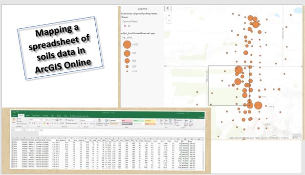
While the conference and the society is focused on the intersection between museum collections (animals, plants, fossils, rocks, and others), instruction, and research, with a particular emphasis on the digitization of those collections, it is my hope that this presentation will be useful for those inside as well as outside that community. In so doing, I provide real world examples of how to use maps and apps, to examine demographic patterns in selected cities (via the Urban Observatory), world population density and ecoregions using ArcGIS Online, natural and human-caused change via the Change Matters Landsat viewer, local changes using the historical USGS topographic map viewer, demographics and behaviors from state to neighborhood level, and historical and current tornadoes and earthquakes in ArcGIS Online. I explained how to create and use Story Maps, and showed examples of a crowdsourced one I set up as well as others on languages, oceans, extinctions, manuscript maps, and BioBlitz. I showed how to collect and map your own data using crowdsource story maps, the Snap2Map app, a spreadsheeet, Collector for ArcGIS, and Survey123. I demonstrated how to analyze data in ArcGIS Online, including human health and flood hazards.
I pointed out that all of these activities had several things in common: 1) They all engage in the scientific and geographic inquiry process. 2) They show a diversity of themes, scales, data, and ways of teaching with web maps and GIS. 3) They all use ArcGIS Online as the fundamental platform for engagement and investigation.
I discussed key resources on how to go further with geotechnologies, including lesson libraries, and how to obtain an organizational subscription to ArcGIS Online. I closed with these final thoughts: 1. The technologies and tools will evolve--so embrace the attitude of being a lifelong learner. 2. It is excellent that you learn these tools and techniques as the instructor, but don't forget to -- give the tools to the students. 3. Don't focus too much on the lesson, but rather on the inquiry. 4. Keep moving forward in your use of geotechnologies.
I look forward to your feedback.
You must be a registered user to add a comment. If you've already registered, sign in. Otherwise, register and sign in.
-
Administration
38 -
Announcements
44 -
Career & Tech Ed
1 -
Curriculum-Learning Resources
178 -
Education Facilities
24 -
Events
47 -
GeoInquiries
1 -
Higher Education
518 -
Informal Education
265 -
Licensing Best Practices
46 -
National Geographic MapMaker
10 -
Pedagogy and Education Theory
187 -
Schools (K - 12)
282 -
Schools (K-12)
184 -
Spatial data
24 -
STEM
3 -
Students - Higher Education
231 -
Students - K-12 Schools
85 -
Success Stories
22 -
TeacherDesk
1 -
Tech Tips
83
- « Previous
- Next »