- Home
- :
- All Communities
- :
- Industries
- :
- Science
- :
- Ocean Science
- :
- Ocean Science Blog
- :
- Getting started with Ecological Marine Units (EMU’...
Getting started with Ecological Marine Units (EMU’s) using ArcGIS Desktop
- Subscribe to RSS Feed
- Mark as New
- Mark as Read
- Bookmark
- Subscribe
- Printer Friendly Page
- Report Inappropriate Content
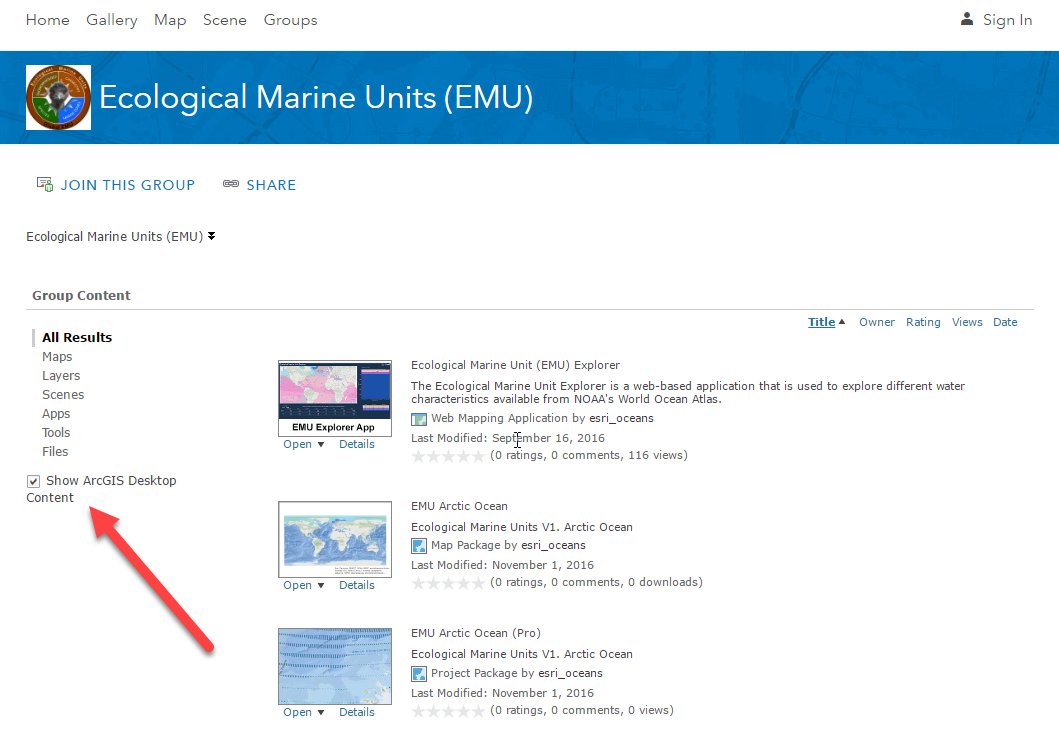
In the Ecological Marine Unit ArcGIS Online Group, you have access to the EMU data to download and use to explore and visualize in ArcGIS Desktop (ArcMap or ArcGIS Pro). The data are broken up by oceanic regions if you are interested in a particular subset or area of interest, or you can download the entire package.
Important: When you access the ArcGIS Online Group – Make Sure the “Show ArcGIS Desktop Content” box is checked (Left-hand side).
EMU Global Ocean – the item description page for the Map Package that can be downloaded or used in ArcMap. This file is 3.9GB.
EMU Global Ocean (Pro) –the item description page for the ArcGIS Pro Package that can be downloaded and used in ArcGIS Pro. This file is 3.9GB.
When the download is complete, the files can be double clicked and they will launch in the respective application.
ArcMap Packages – “Map Package” (.mpk).
ArcGIS Pro Packages – “Project Packages” (.ppkx).
The ArcMap Map Package takes about 15 minutes to unzip and open. The ArcGIS Pro Project Package takes about 30 mins to unzip and open. Once open you can spend some time orienting yourself with the data, etc.
You must be a registered user to add a comment. If you've already registered, sign in. Otherwise, register and sign in.