Turn on suggestions
Auto-suggest helps you quickly narrow down your search results by suggesting possible matches as you type.
Cancel
- Home
- :
- All Communities
- :
- Products
- :
- ArcGIS StreetMap Premium
- :
- ArcGIS StreetMap Premium Questions
- :
- Emergency Response Times Mapping
Options
- Subscribe to RSS Feed
- Mark Topic as New
- Mark Topic as Read
- Float this Topic for Current User
- Bookmark
- Subscribe
- Mute
- Printer Friendly Page
Emergency Response Times Mapping
Subscribe
4677
2
07-31-2013 08:01 AM
07-31-2013
08:01 AM
- Mark as New
- Bookmark
- Subscribe
- Mute
- Subscribe to RSS Feed
- Permalink
- Report Inappropriate Content
Greeting from City of Woodland, Ca,
I have a point feature class created from the incident response times for the City's Fire Engines Stations.
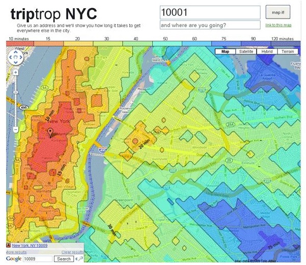
I would like to map the response times for each fire station, in a manner which looks similar to the example map created in Google Maps.
I have ArcGIS 10.1, with Advanced level licensing.
Thanks,
Miguel Garcia
I have a point feature class created from the incident response times for the City's Fire Engines Stations.
I would like to map the response times for each fire station, in a manner which looks similar to the example map created in Google Maps.
I have ArcGIS 10.1, with Advanced level licensing.
Thanks,
Miguel Garcia
2 Replies
07-31-2013
08:29 AM
- Mark as New
- Bookmark
- Subscribe
- Mute
- Subscribe to RSS Feed
- Permalink
- Report Inappropriate Content
Hi
here is your answer
http://help.arcgis.com/en/arcgisdesktop/10.0/help/index.html#//004700000048000000
please use service areas feature of network analyst. You need a refined and detailed road network though.
regards,,
here is your answer
http://help.arcgis.com/en/arcgisdesktop/10.0/help/index.html#//004700000048000000
please use service areas feature of network analyst. You need a refined and detailed road network though.
regards,,
06-03-2014
10:36 AM
- Mark as New
- Bookmark
- Subscribe
- Mute
- Subscribe to RSS Feed
- Permalink
- Report Inappropriate Content
"GIS Tutorial 2: Spatial Analysis Workbook" from Esri Press has a chapter on doing this exact type of analysis using data from the City of Ft. Worth. It also goes on to show statistical hot spot mapping as well as analysis with a spider diagram.