- Home
- :
- All Communities
- :
- Developers
- :
- ArcGIS REST APIs and Services
- :
- ArcGIS REST APIs & Services Ques.
- :
- Re: Issues with FEMA NFHL layers?
- Subscribe to RSS Feed
- Mark Topic as New
- Mark Topic as Read
- Float this Topic for Current User
- Bookmark
- Subscribe
- Mute
- Printer Friendly Page
Issues with FEMA NFHL layers?
- Mark as New
- Bookmark
- Subscribe
- Mute
- Subscribe to RSS Feed
- Permalink
- Report Inappropriate Content
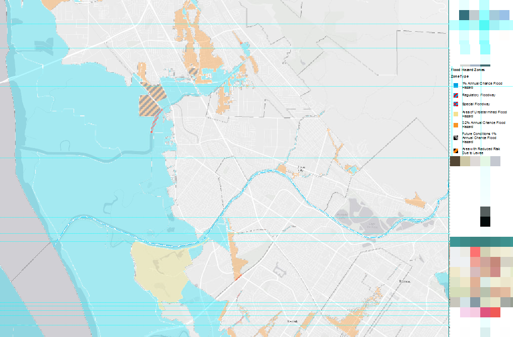
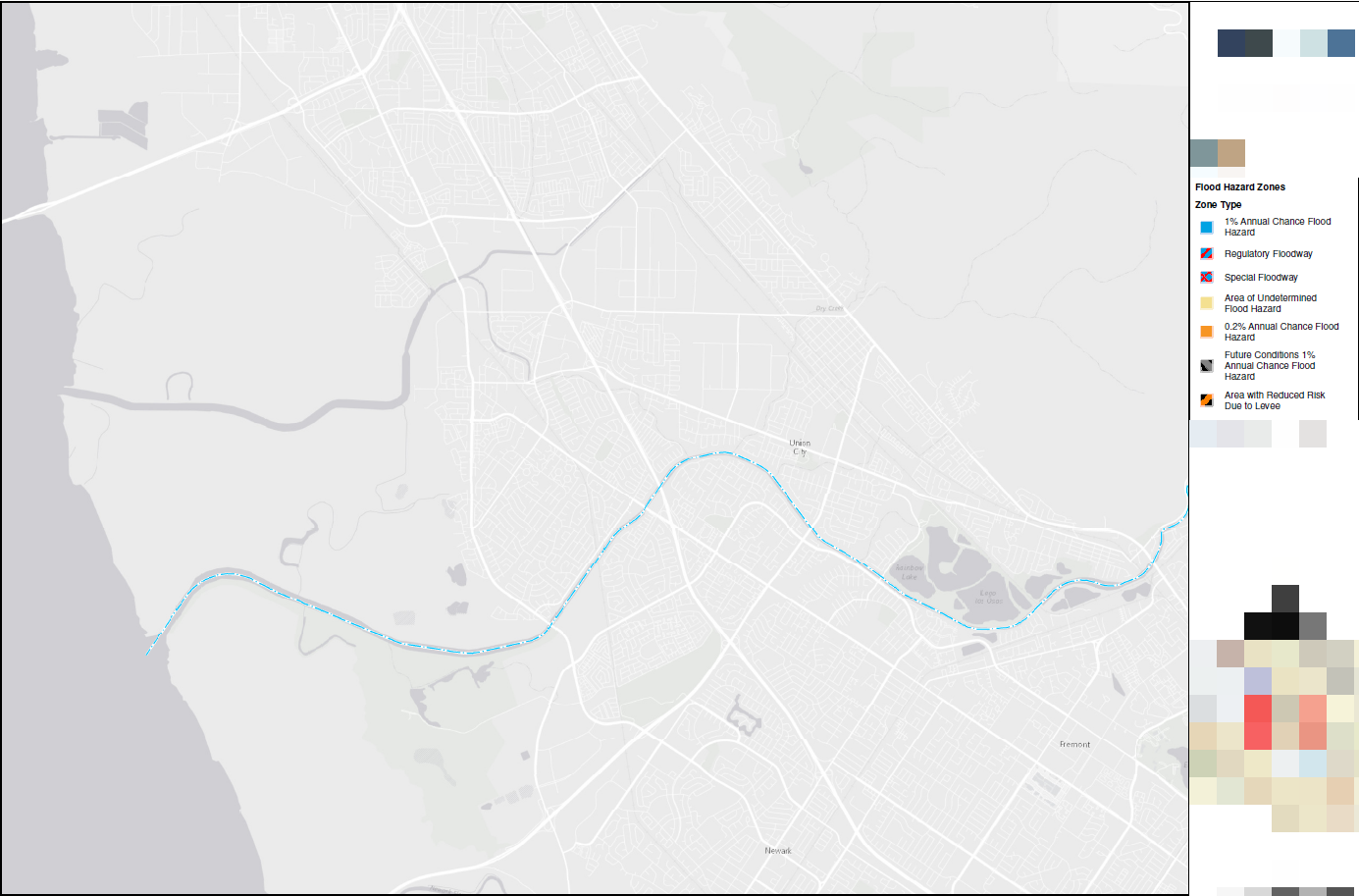
Just recently, I've been unable to export or print an MXD that contains the Federal Emergency Management Agency (FEMA) National Flood Hazard Layers (NFHL). I went to FEMA's GIS Web Services site (FEMA's National Flood Hazard Layer) and followed their instructions on adding their service layers as an ArcGIS REST Service.
The layers that I'm trying to show on the MXD is the Flood Hazard Zones. The service layers display perfectly in the MXD; however when I go to print to PDF (I also tried exporting to PDF), the service layers will not print. Has anybody come across this situation?
- Mark as New
- Bookmark
- Subscribe
- Mute
- Subscribe to RSS Feed
- Permalink
- Report Inappropriate Content
Did you ever solve this issue? I am experiencing the same issue.
Thank you!
- Mark as New
- Bookmark
- Subscribe
- Mute
- Subscribe to RSS Feed
- Permalink
- Report Inappropriate Content
Maybe it has to do with server limits on the size of the requested data? See Printing and exporting maps containing service layers—Help | ArcGIS for Desktop
I'm not very familiar with server/service issues, so this is just a guess.
- Mark as New
- Bookmark
- Subscribe
- Mute
- Subscribe to RSS Feed
- Permalink
- Report Inappropriate Content
It could have something to do with size and networks, but what I found that solved the problem was to use 10.3 instead of 10.4. Exported to .pdf perfectly from 10.3.