Turn on suggestions
Auto-suggest helps you quickly narrow down your search results by suggesting possible matches as you type.
Cancel
- Home
- :
- All Communities
- :
- Products
- :
- 3D
- :
- 3D Questions
- :
- What exactly does it mean to use a renderer and to...
Options
- Subscribe to RSS Feed
- Mark Topic as New
- Mark Topic as Read
- Float this Topic for Current User
- Bookmark
- Subscribe
- Mute
- Printer Friendly Page
What exactly does it mean to use a renderer and to force RGB when exporting a raster in arcgis 10x
Subscribe
1309
1
01-25-2017 02:18 AM
01-25-2017
02:18 AM
- Mark as New
- Bookmark
- Subscribe
- Mute
- Subscribe to RSS Feed
- Permalink
- Report Inappropriate Content
I have never really understood this and the documentation doesn´t explain it.
1 Reply
01-25-2017
04:21 AM
- Mark as New
- Bookmark
- Subscribe
- Mute
- Subscribe to RSS Feed
- Permalink
- Report Inappropriate Content
Say you have some DEM data, a raster where each pixel represents the elevation of that pixel.
You load it into ArcMap, and it would generally default to a gray scale image (black to white colour ramp).
If you want to send someone a "picture" if the data, rather than the data itself, you can apply another colour ramp (maybe Elevation 2 or something), maybe use a graphic to cut out a small section, if you right click on the dem and select data / export, then click the Use renderer & force RGB, the exported raster is now a 3 band (RGB) image of the original.
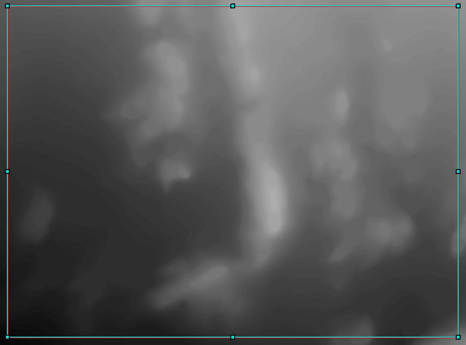
Original gray scale raster.

New colour ramp.

RGB image output.
