Turn on suggestions
Auto-suggest helps you quickly narrow down your search results by suggesting possible matches as you type.
Cancel
- Home
- :
- All Communities
- :
- Developers
- :
- ArcGIS API for Flex (Retired)
- :
- ArcGIS API for Flex Questions
- :
- is it me or is the Print task kind of flakey?
Options
- Subscribe to RSS Feed
- Mark Topic as New
- Mark Topic as Read
- Float this Topic for Current User
- Bookmark
- Subscribe
- Mute
- Printer Friendly Page
is it me or is the Print task kind of flakey?
Subscribe
1868
3
06-26-2013 10:47 PM
by
Anonymous User
Not applicable
06-26-2013
10:47 PM
- Mark as New
- Bookmark
- Subscribe
- Mute
- Subscribe to RSS Feed
- Permalink
- Report Inappropriate Content
Original User: coldfusionPaul
our app has a concept of a "base map" which is basically any tiled map service or image service users want to overlay their vector data on (usually topo, elevation, aerial photos or satellite imagery). if we use ESRI supplied data (eg world imagery) these will always print. however if we use a local base map more often than not these will not print, though they display just fine.
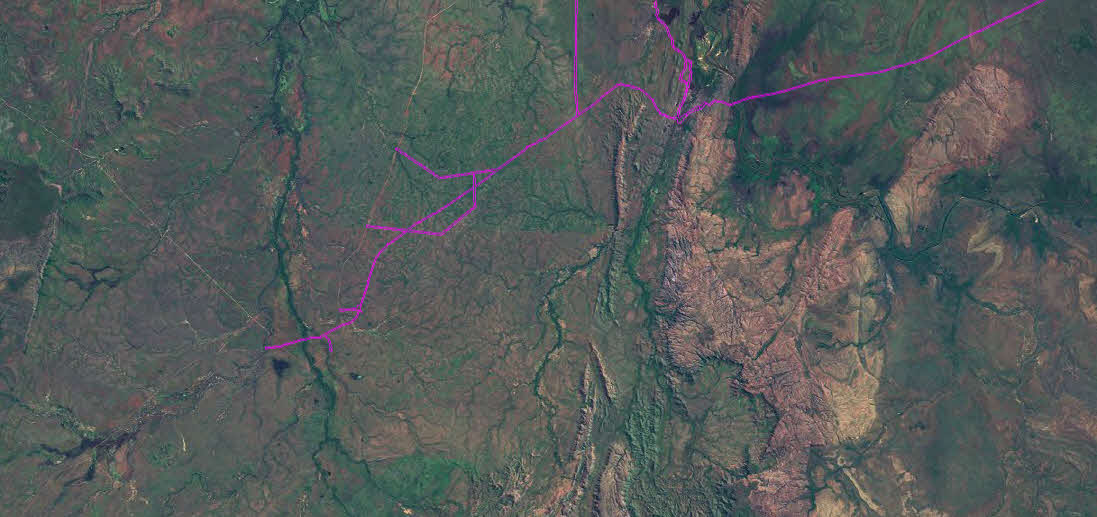
while i was digging into this issue i came across a situation where the print task did indeed print a local base map, but the wrong one (see attached, please ignore extent/scale differences).
this is causing a lot of head scratching. any ideas?
thanks.
our app has a concept of a "base map" which is basically any tiled map service or image service users want to overlay their vector data on (usually topo, elevation, aerial photos or satellite imagery). if we use ESRI supplied data (eg world imagery) these will always print. however if we use a local base map more often than not these will not print, though they display just fine.
while i was digging into this issue i came across a situation where the print task did indeed print a local base map, but the wrong one (see attached, please ignore extent/scale differences).
this is causing a lot of head scratching. any ideas?
thanks.
3 Replies
06-27-2013
12:37 AM
- Mark as New
- Bookmark
- Subscribe
- Mute
- Subscribe to RSS Feed
- Permalink
- Report Inappropriate Content
digging a bit deeper it seems that the cases where the "base map" isn't printing is simply that the wrong base map is getting printed & it's extent isn't the same as the current map extent.
some weird server issue?
some weird server issue?
by
Anonymous User
Not applicable
06-27-2013
11:53 AM
- Mark as New
- Bookmark
- Subscribe
- Mute
- Subscribe to RSS Feed
- Permalink
- Report Inappropriate Content
Original User: rzufelt
Yes, the print task is kind of flakey. however, I have not heard/seen this one before :cool:
I have 11 different basemaps created from local data (most of them cached) that are in the same wkid as my FV app.
Because of this, if/when I bring in an ESRI basemap, I have to load it as dynamic so that it can re-project on the fly.
All of the basemaps, regardless of source, print in the appropriate place.
Have you made sure that the data being used for your basemaps service(s) has a coordinate system defined?
R_
Now, if I could only figure out why the Tabloid/Landscape template is the only one that will display a legend for more than one visible layer???????
06-27-2013
11:22 PM
- Mark as New
- Bookmark
- Subscribe
- Mute
- Subscribe to RSS Feed
- Permalink
- Report Inappropriate Content
yup, all the services have coordinate systems defined. its a real head scratcher. the client's opening a ticket w/ESRI.
we're not particularly happy w/the legend bits for anything complex. i'm looking at building our own & then merging it w/the print task produced PDF (we're using coldfusion on the backend & that sort of thing is more or less built-in).
we're not particularly happy w/the legend bits for anything complex. i'm looking at building our own & then merging it w/the print task produced PDF (we're using coldfusion on the backend & that sort of thing is more or less built-in).