- Home
- :
- All Communities
- :
- Products
- :
- ArcGIS Drone2Map
- :
- ArcGIS Drone2Map Questions
- :
- Re: Processing with 2.0 Errors
- Subscribe to RSS Feed
- Mark Topic as New
- Mark Topic as Read
- Float this Topic for Current User
- Bookmark
- Subscribe
- Mute
- Printer Friendly Page
Processing with 2.0 Errors
- Mark as New
- Bookmark
- Subscribe
- Mute
- Subscribe to RSS Feed
- Permalink
- Report Inappropriate Content
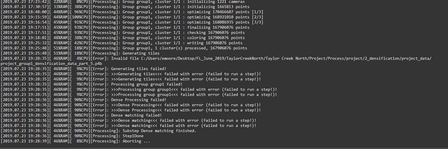
Invalid file error when processing is the latest error....I've processed 1,000 of acres with 1.3x without any issues. Now when using 2.x the processing fails sometimes for no apparent reason. I've got; Blue Screen of Death, processing just stops, computer shuts down, "invalid file", "processing failed", etc... Any ideas?
Thanks
- Mark as New
- Bookmark
- Subscribe
- Mute
- Subscribe to RSS Feed
- Permalink
- Report Inappropriate Content
Jeremy,
There is an issue in versions 2.0 and 2.0.1. If the horizontal and vertical accuracy are not specified when importing GCPs, the RMSE may be higher than expected.
A workaround for this in versions 2.0 and 2.0.1 is to make sure your GCPs include the horizontal and vertical accuracy values when importing. If the accuracy is unknown, set it to .02 for both horizontal and vertical accuracy in your GCP file before importing, as this is the default used in Drone2Map 1.3.2.
We have a fix for this coming soon in the 2.0.2 patch. Additionally in version 2.1 we will let you manually change the horizontal and vertical accuracy after importing control.
Thanks
Tony
- Mark as New
- Bookmark
- Subscribe
- Mute
- Subscribe to RSS Feed
- Permalink
- Report Inappropriate Content
Tony
Thanks for the update. I don't have D2M open. Do I add accuracy columns in the GCP file or is this a setting I updat once the GCP's have been imported?
Thanks
Jeremy
- Mark as New
- Bookmark
- Subscribe
- Mute
- Subscribe to RSS Feed
- Permalink
- Report Inappropriate Content
Jeremy,
Add them to the file before importing. For example, if importing a .csv file, add two columns to the end - one for horizontal accuracy and another for vertical accuracy. If you do not know the correct values, simply fill them in with .02 and you should get the same results you are seeing in Drone2Map 1.3.2.
Thanks
Tony
- Mark as New
- Bookmark
- Subscribe
- Mute
- Subscribe to RSS Feed
- Permalink
- Report Inappropriate Content
Tony
Thanks for the quick response. Doing it know and hopefully back in action. I have been pleasantly (and that's an under statement) surprised by V2.0. The increase in functionality from 1.3 is staggering and creates a much better workflow. Dealing with GCP's and aligning with images took far too long. On the basis that this fix is going to work I will be very pleased and you have done a great job with this release. I estimate that drone related work for clients is now 40% of my business. I undertake real estate work, planning (or zoning), project management and GIS projects. With some of my Drone/GIS work I was considered for presenting at the 2019 UK User Conference. The integration of D2M with other ESRI products works well.
Thanks
Jeremy (Everything is Somewhere Ltd)
- « Previous
-
- 1
- 2
- Next »
- « Previous
-
- 1
- 2
- Next »