- Home
- :
- All Communities
- :
- Products
- :
- ArcGIS GeoEvent Server
- :
- ArcGIS GeoEvent Server Blog
- :
- FlightAware Connector for GeoEvent Extension (10.3...
FlightAware Connector for GeoEvent Extension (10.3.x) Released!
- Subscribe to RSS Feed
- Mark as New
- Mark as Read
- Bookmark
- Subscribe
- Printer Friendly Page
- Report Inappropriate Content
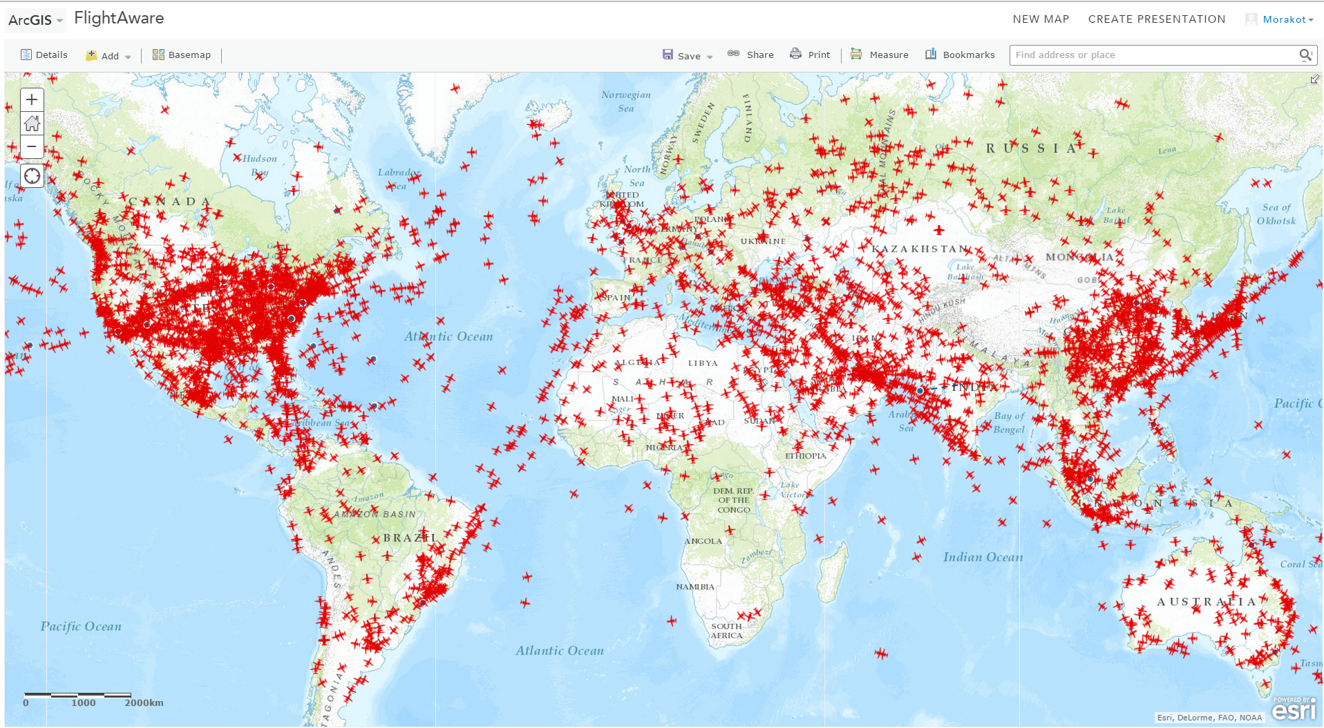
The GeoEvent Extension team collaborated with FlightAware, a leading provider of worldwide aviation flight tracking data in over 50 countries across North America, Europe, and Oceania, to create the FlightAware Connector for GeoEvent. This connector uses the FlightAware Firehose API to receive the real-time data stream from the FlightAware data service directly into the GeoEvent Extension. Data received from the Firehose API includes flight positions (e.g. RADAR, ADS-B, Mode S, etc).
By using a stream service, you can visualize flights worldwide, in real-time, in a web map as well as in your GIS applications. The connector supports all five data types: Flightplan, Departure, Arrival, Cancellation, and Position. Since the FlightAware Firehose data stream is sending high volume and high frequency data, make sure to review the prerequisites as well as the GeoEvent Extension tuning steps contained in the supporting documentation to ensure success with the connector. This connector can be used with GeoEvent Extension versions 10.3 and 10.3.1.
For more information on how Esri and FlightAware are partnering, see this recent press release. For additional connectors and other resources available for the GeoEvent Extension, visit the GeoEvent Gallery.

You must be a registered user to add a comment. If you've already registered, sign in. Otherwise, register and sign in.