Turn on suggestions
Auto-suggest helps you quickly narrow down your search results by suggesting possible matches as you type.
Cancel
- Home
- :
- All Communities
- :
- Products
- :
- ArcGIS Living Atlas of the World
- :
- Living Atlas Blog
- :
- Street Level Imagery with HERE / Navteq
Street Level Imagery with HERE / Navteq
Subscribe
1959
2
07-20-2014 10:05 AM
- Subscribe to RSS Feed
- Mark as New
- Mark as Read
- Bookmark
- Subscribe
- Printer Friendly Page
- Report Inappropriate Content
07-20-2014
10:05 AM
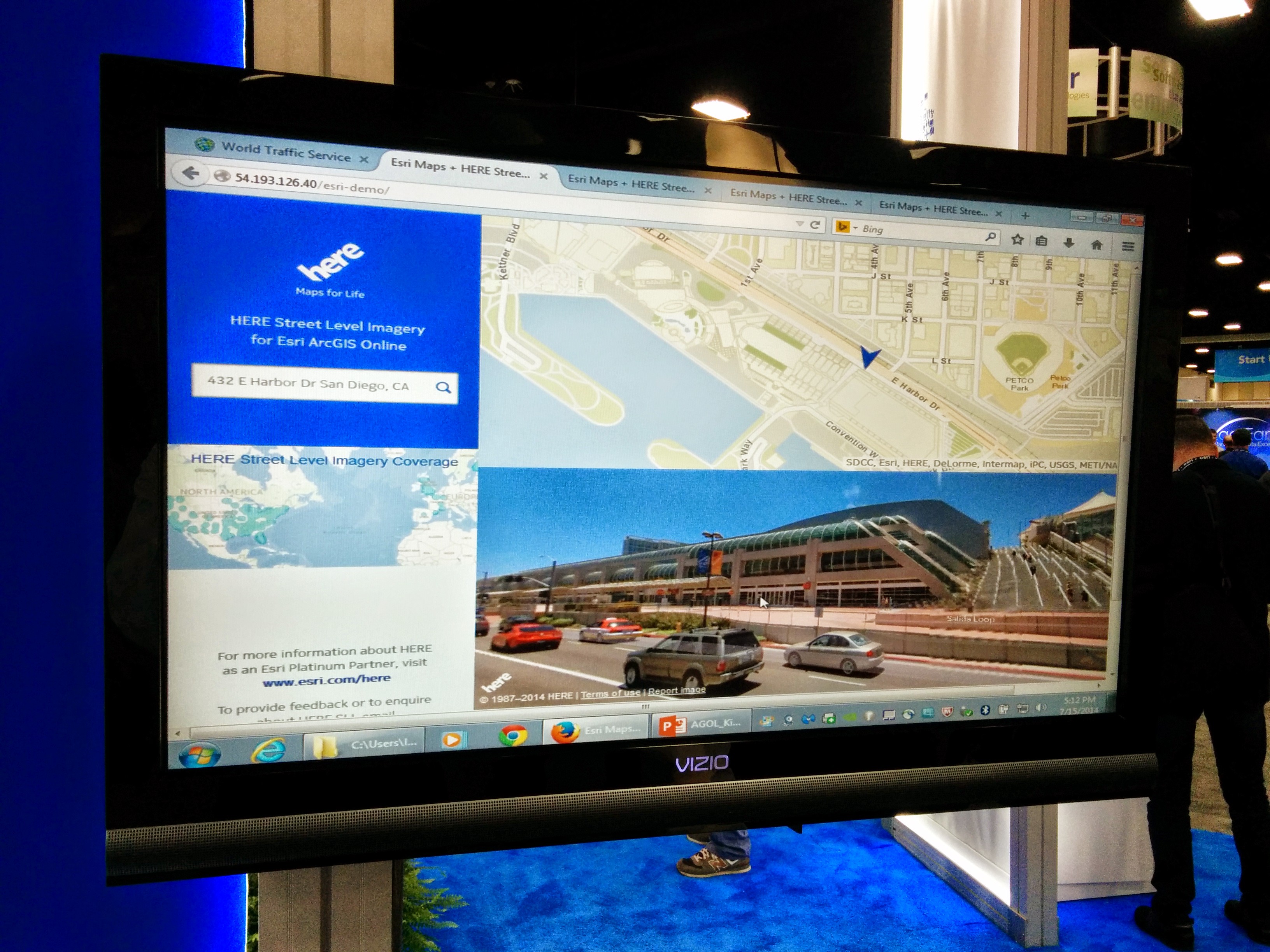
HERE ( fka Navteq ) also has a Street Level Imagery offering and they were presenting an application they've built to illustrate the integration of their capability with the ArcGIS System. It was one of their key theme at UC. Check it out.

2 Comments
You must be a registered user to add a comment. If you've already registered, sign in. Otherwise, register and sign in.
About the Author
Native of France, I moved to Redlands, California 7 years ago.
Fresh from Business School, I was asked to map dozens of thousands of points on a map. Quite a challenge 20+ years ago!
I discovered how essential reference data are, became passionate about it and decided to get on the other side of the fence to build, assemble and serve all the great content that other users would need.
Competitive Swimming is my life-long passion, grab your swim suit and meet me on deck!