- Home
- :
- All Communities
- :
- Products
- :
- ArcGIS Pro
- :
- ArcGIS Pro Ideas
- :
- Add Additional Details in Catalog View in ArcGIS P...
- Subscribe to RSS Feed
- Mark as New
- Mark as Read
- Bookmark
- Follow this Idea
- Printer Friendly Page
- Report Inappropriate Content
Add Additional Details in Catalog View in ArcGIS PRO
- Mark as New
- Bookmark
- Subscribe
- Mute
- Subscribe to RSS Feed
- Permalink
- Report Inappropriate Content
It would be good to add additional Details to the Catalog View (and Catalog Pane).
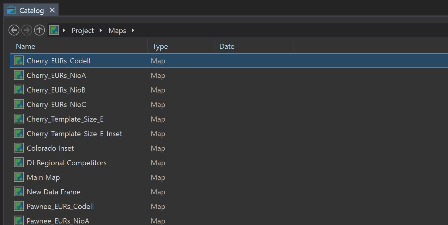
Right now Maps and Layouts have a column for Date but nothing is populated. Date is only populated in Databases.
Date should be populated for all elements that are visible in Catalog.
Additionally the Document Path should be an additional column to help us ensure that we are pathed to correct data.
- « Previous
-
- 1
- …
- 4
- 5
- 6
- Next »
- Mark as Read
- Mark as New
- Bookmark
- Permalink
- Report Inappropriate Content
Glad to see some progress on this. I REALLY need to see the date modified for the maps. As a web administrator it makes me sad to lose the functionality of ArcCatalog - especially for use with stand-alone ArcGIS Server.
- Mark as Read
- Mark as New
- Bookmark
- Permalink
- Report Inappropriate Content
I see improvement with this "metadata" (I know, a loaded term) but in Pro 3.1.1 I still can't see the size of file geodatabases within Catalog. Adding this would be very helpful.
- Mark as Read
- Mark as New
- Bookmark
- Permalink
- Report Inappropriate Content
@SusanCarlson -- I would add that we really need Date Modified and Date Last Accessed fields in the Catalog View/Catalog Pane. In ArcCatalog, the Date field was always really the date last accessed. All you had to do was look at the GDB in Arc, and the date changed to that current date, presumably because the timestamps file changed, even if no editing or other data/metadata changes were made. This has always driven me nuts. Sure, knowing the date last accessed could be helpful on occasion, but knowing at a glance when real changes were last made is a constant need.
- Mark as Read
- Mark as New
- Bookmark
- Permalink
- Report Inappropriate Content
@Waan -- I second your comment. How hard can this be, Esri? I have seen a comment from Esri (quite a while ago now) saying that Windows now does things differently internally, so the functionality can't be implemented like before. Has this not been figured out yet? Now, I am not a Windows developer for sure, but I can right-click a FileGDB folder in Windows Explorer, choose Properties, and read the GDB size right out of the dialog box. That is a basic Windows function, and a FileGDB is in reality nothing more than a folder. Surely that folder size information must be available from an easy-to-access Windows object or method. Let's just get this done and move forwards, not backwards.
- Mark as Read
- Mark as New
- Bookmark
- Permalink
- Report Inappropriate Content
@Waan and @ThomasCrossman we are tracking that part of "additional details in Catalog view". The idea that we have related to showing file geodatabase size is here if you want to add your kudos. While on the surface that idea is about gp tools, the heart of it is "I have found no way of displaying the geodatabase size in ArcGIS Pro."
Also noting that there is an enhancement request submitted through technical support [ENH-000156294: Unable to see the size of the database in the catalog view of ArcGIS Pro.] You could contact technical support and ask to be attached to that enhancement request.
Thank you
- Mark as Read
- Mark as New
- Bookmark
- Permalink
- Report Inappropriate Content
Just a head's up, too, that this new Catalog metadata information is broken in 3.1.2. The information cannot be updated while in the project. It updates if you exit and enter again.
Sigh.
- Mark as Read
- Mark as New
- Bookmark
- Permalink
- Report Inappropriate Content
Hello @SeanHlousek and everyone,
Thank you very much for your feedback! This idea thread started from @SeanHlousek's idea, which is about displaying the size and date modified specifically for maps and layouts, and adding path for items in the Catalog view, to a much broader discussions including other functionalities as well, and for all item types. We have been adding your requested functionalities over the past few releases.
With the release of Pro 3.2, for the purpose of better managing all the suggestions in this thread and better tracking their progress, we would like to list here the ones that have been implemented so far, and also list here the ones that have yet to be implemented. For those that are still on our list to work on, we will provide links to existing idea entries for people to add their kudos to. Afterwards we will be closing this current idea thread.
Below is a list of the suggestions made in this thread that have already been implemented, for applicable items (including what's specifically mentioned in this thread for file geodatabases, feature classes inside a file geodatabase):
- Geometry
- Date Modified
- Size
- Path


Displaying size and modification date for items inside a file geodatabase actually incurs some browse performance deterioration. It would not be noticeable if the file geodabase is small, but can be obvious when the file geodatabase is large. For this reason, there is a setting to turn off this display, in the Options dialog, Catalog Browsing page, under Advanced column settings:

A few notes about viewing item properties as columns in the Catalog view:
- For geodatabases, the size, modification date information can be displayed for file geodatabases only. The geometry information can be displayed for all types of geodatabses.
- You can easily show or hide a particular column (except for the Name column) by right clicking anywhere on the column header area, and by checking or unchecking the available columns:

Going forward, we will be working on displaying another set of properties that have been mentioned in this idea thread, but displaying them would likely to be "opted in", because they would likely slow down the browsing speed at the initial item loading (by opening the item's metadata to retrieve the relevant information of the items, for example). For each of these suggestions, we will show the corresponding existing idea's link. If you like the idea, especially if you voiced this suggestion in this thread, please add your kudo to that idea.
- Date and size for maps and layouts - @SeanHlouse, your idea has been re-entered as a distinct idea here https://community.esri.com/t5/arcgis-pro-ideas/add-date-and-size-for-maps-and-layouts-to-the/idi-p/9... @MitchHolley1 and anyone else needing this feature please also add your kudo to https://community.esri.com/t5/arcgis-pro-ideas/add-date-and-size-for-maps-and-layouts-to-the/idi-p/9....
- Date created - @Aline_Wbg, @LJTerrill, please add your kudos to https://community.esri.com/t5/arcgis-pro-ideas/display-fc-creation-date-in-catalog-properties/idi-p/...
- Feature count - @AlexaJacroux_Biggs1, your suggestion has been entered as https://community.esri.com/t5/arcgis-pro-ideas/add-feature-count-to-the-catalog-view-and-catalog/idi....
- Spatial reference - @JeromeHaaland, @AlexaJacroux_Biggs1, please add your kudos to these ideas as you see fit:
Also,
- @JohnSobetzer, - please add your kudo to https://community.esri.com/t5/arcgis-pro-ideas/catalog-pane-popup-window-needs-to-include-summary/id... about customizing the popup that shows up when you hover over an item in the Catalog view.
- @ThomasCrossman - about your comment on not being able to distinguish access date and modification date for items inside a file geodatabase, please submit a separate idea with the label "Geodatabase".
- Mark as Read
- Mark as New
- Bookmark
- Permalink
- Report Inappropriate Content
You must be a registered user to add a comment. If you've already registered, sign in. Otherwise, register and sign in.