- Home
- :
- All Communities
- :
- Products
- :
- ArcGIS Pro
- :
- ArcGIS Pro Ideas
- :
- Geotag photos and edit geotagged photos
- Subscribe to RSS Feed
- Mark as New
- Mark as Read
- Bookmark
- Follow this Idea
- Printer Friendly Page
- Report Inappropriate Content
- Mark as New
- Bookmark
- Subscribe
- Mute
- Subscribe to RSS Feed
- Permalink
- Report Inappropriate Content
I would like an easy way to tag untagged photos like the drag-and-drop function in ArcPhoto. There you have a window with the photos and just select a photo, drag into the map and drop at the point where it was taken.
I also want the ability to edit directly in the photos exif data as is the case in ArcPhoto. This together with the Quick View Location Tool makes it easy to edit and create geotaggs before you create your feature class with links to the photos.
I have a lot of photos where the GPS in the camera haven’t got sufficiently accurate coordinates and therefore I need to correct the tag afterwards. Others use the photos too and won’t always have access to the feature classes that I will create if I start to use ArcMap and the GeoTagged Photos To Points tool when working with the photos. Therefore I want to edit directly in the exif data. I hope others will have use for this too.
- Mark as Read
- Mark as New
- Bookmark
- Permalink
- Report Inappropriate Content
I have used the Theodolite app and another one called Solocator.
I lean more towards using Solocator I like how GPS data is displayed and can include project information on the photo.
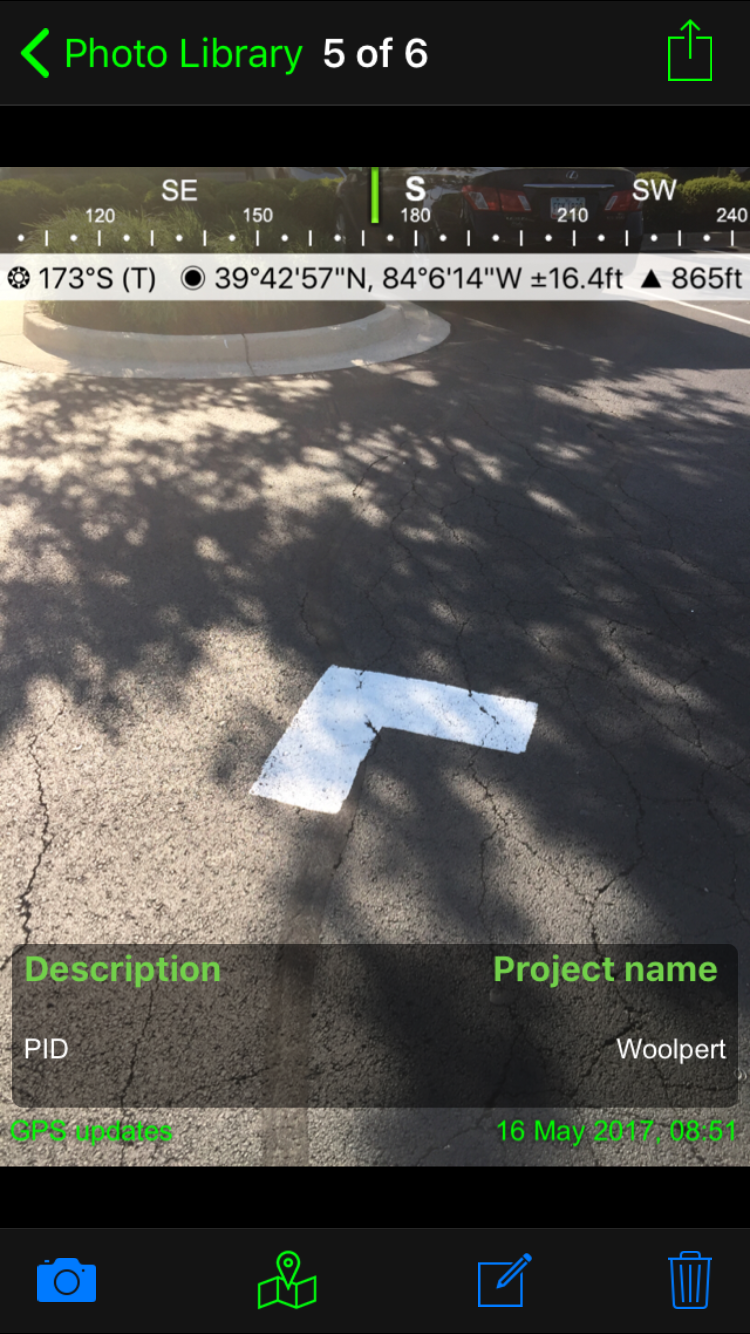

I then use these photos taken with other Geotaging/ GeoStamping app and add them into Collector through attachments. This process gets the photos and GPS information I want but its not an efficient process. Collecting hundreds of points and multiple photos for each one is very time consuming when you have to swap back and forth between apps. It has also been my experience with a cell phone of tablet, when your using Collector it runs down the battery the more apps you have running.
You must be a registered user to add a comment. If you've already registered, sign in. Otherwise, register and sign in.