- Home
- :
- All Communities
- :
- Products
- :
- ArcGIS Pro
- :
- ArcGIS Pro Questions
- :
- 3D Polygon from a Triangulation, make it simplify
- Subscribe to RSS Feed
- Mark Topic as New
- Mark Topic as Read
- Float this Topic for Current User
- Bookmark
- Subscribe
- Mute
- Printer Friendly Page
3D Polygon from a Triangulation, make it simplify
- Mark as New
- Bookmark
- Subscribe
- Mute
- Subscribe to RSS Feed
- Permalink
- Report Inappropriate Content
Hello Esri Community,
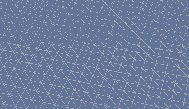
i have a problem with a 3D Polygon from a Triangulation, its to big, I want to simplify it.
He is made of 450 000 Polygons. I will simplify it to 10 000 Polygons.
"Aggregate Polygons" make always a one big polygon and for "Dissolve" I need attributes
Can someone help me.
Thank you for helping.
Sorry for bad English!
- Mark as New
- Bookmark
- Subscribe
- Mute
- Subscribe to RSS Feed
- Permalink
- Report Inappropriate Content
You may find that Eliminate or Eliminate Polygon Part tools can assist in cleaning up this data set. Check out Eliminate Polygon Part—Data Management toolbox | ArcGIS for Desktop or Eliminate—Data Management toolbox | ArcGIS for Desktop . Unfortunately it does require an Advanced license.
- Mark as New
- Bookmark
- Subscribe
- Mute
- Subscribe to RSS Feed
- Permalink
- Report Inappropriate Content
Sorry, just reread your message. I am not sure whether this tool will work on a 3D (multipatch?) polygon?
- Mark as New
- Bookmark
- Subscribe
- Mute
- Subscribe to RSS Feed
- Permalink
- Report Inappropriate Content
Eliminate works well for cleaning up data sets with small slivers. If I take a look at your images, then it looks like the size for each of your polygons would be almost identical, so therefore this may not be a good choice. IF you had polygon attributes (do you?), there are other approaches for summarizing these values to into larger polygons. For example, one could create a grid or hexogons at the required scale across this data set, then use tools such as Summarise Within to populate the grid or hexagons with attribute data.
But this woudl only work in 2D, I am not sure whether your polygon is z enabled and you need it to stay that way.
- Mark as New
- Bookmark
- Subscribe
- Mute
- Subscribe to RSS Feed
- Permalink
- Report Inappropriate Content
That is my Problem the only Attribute i have is the Elevation
- Mark as New
- Bookmark
- Subscribe
- Mute
- Subscribe to RSS Feed
- Permalink
- Report Inappropriate Content
I am sure there are other approaches that would work but the one I would try would be to create a new polygon feature class and then summarize your elevation values from your 3D polygon into this new polygon feature class.
So you could start by creating a new polygon feature like a grid using the Create Fishnet tool, using your 3D polygon file as the Template Extent. You will have to play around with size or number of columns to get the desired grid of approximately 10k polygons.
Then use the Summarize Within tool to summarize your elevation values into the new polygon file that you had created. Under Summary Fields, select your elevation field under Field and then Mean under Statistic.
I am not sure how long it woudl take to run on such a large polygon of yours, or whether it is even possible. I have never attempted something as large as this before.