- Home
- :
- All Communities
- :
- Products
- :
- ArcGIS Spatial Analyst
- :
- ArcGIS Spatial Analyst Questions
- :
- Re: Converting raster XY co-ordinates to lat/long
- Subscribe to RSS Feed
- Mark Topic as New
- Mark Topic as Read
- Float this Topic for Current User
- Bookmark
- Subscribe
- Mute
- Printer Friendly Page
Converting raster XY co-ordinates to lat/long
- Mark as New
- Bookmark
- Subscribe
- Mute
- Subscribe to RSS Feed
- Permalink
- Report Inappropriate Content
I have downloaded a SST image of the United Kingdom. It is in PNG format with no coordinate system.
I know the dimensions of my image and its lat/long range. However, i'm not sure what approach to take in Arcmap to set the co-ordinate system.
There is a web-page describing how to convert image co-ordinates to latitude/longitude but it is beyond my scope link
The image is apparently produced in Mercator projection
Note, this will need to be carried out on multiple rasters, so a automated/batch approach, which isn't interactive or manual, is required
1. is there anyway to automatically convert the XY pixel co-ordinates to lat and long, by knowing the lat/long range of the image and the dimensions?
2. If not, how would one do this calculation to convert image XY co-ordinates to lat/long in Arcmap / Python?
Details of Image
Dimension 1596 x 1617 BPP 8 Latitude range 47 — 62.999108
Longditude range -15 — 13
Pixel dimensions 1.100149 x 1.100149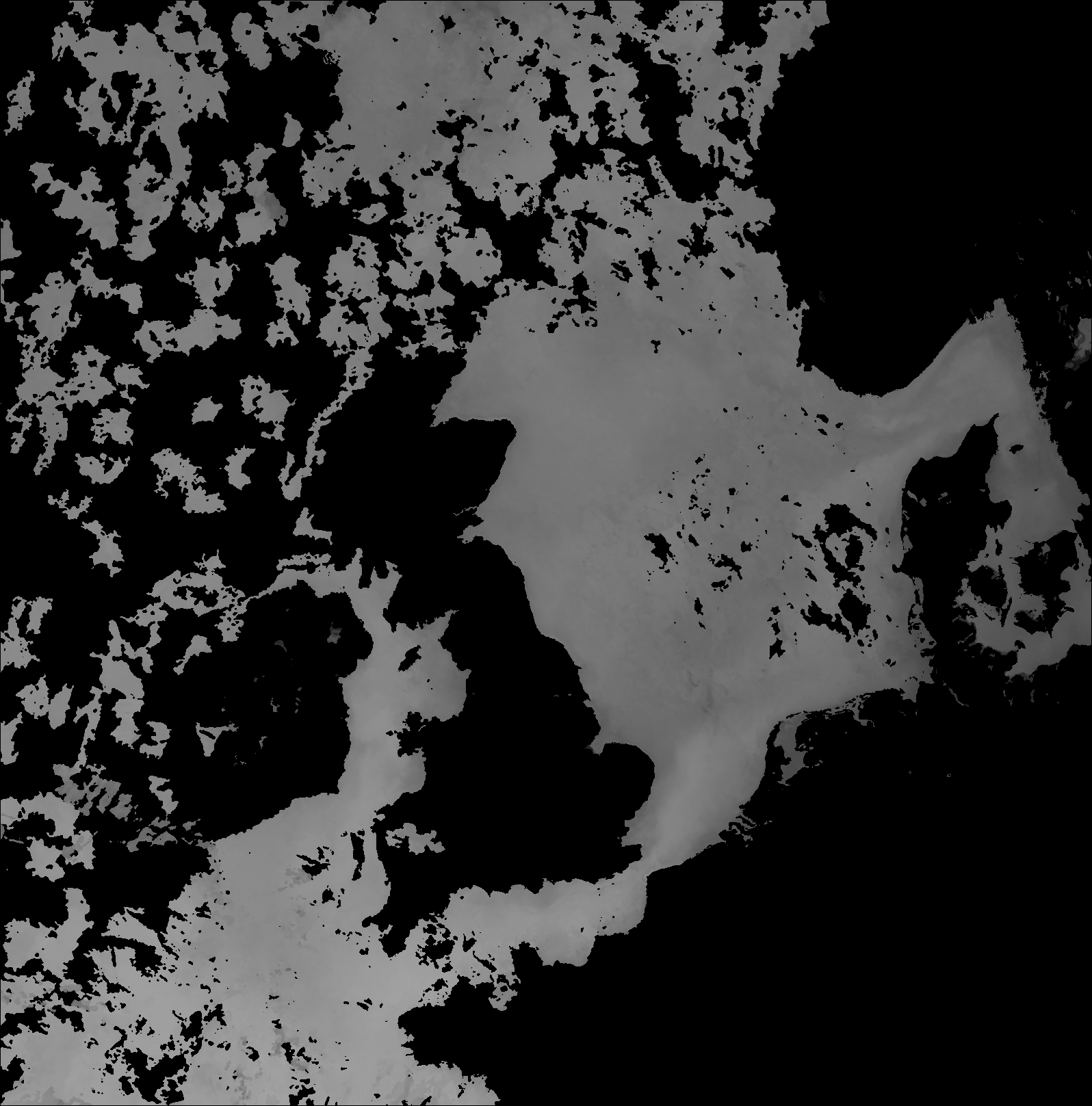
- Mark as New
- Bookmark
- Subscribe
- Mute
- Subscribe to RSS Feed
- Permalink
- Report Inappropriate Content
Hi Melita,
Extent of original (No spatial reference)

Extent after GCS_panorama has been applied using `define projection`. For some reason the whole image becomes skewed, or flipped, or something.
Running the mouse over the image...
bottom left corner is -186, -85 Decimal degrees
bottom right corner is 177, 86
top left corner is -179, 0 degree
top right corner is 180, 0 degree

This error appears if I removed the PNG and re-add after GCS_panorama has been applied

Any thoughts?
Thanks,
Prem
- Mark as New
- Bookmark
- Subscribe
- Mute
- Subscribe to RSS Feed
- Permalink
- Report Inappropriate Content
You've got to do both--make sure the world file is applied to convert the raw pixel coordinates to latitude/longitude values and define the Panorama geographic coordinate system so that the system understands the earth model that's being used. I think once you do that, AND set a custom geographic transformation (between Panorama and WGS84, method: geocentric translation, parameters: zeroes), it will line up.
Defining Panorama without using the world file means that the raster's extent values wrap around the entire world (they're greater than 360 degrees) thus the weird display.
See this topic about world files for more information.
- Mark as New
- Bookmark
- Subscribe
- Mute
- Subscribe to RSS Feed
- Permalink
- Report Inappropriate Content
Just attempted and it didn't seem to work. I may of chose the wrong WGS84 coordinate system? Here's my work flow.
1. Add janw1.png with world file
2. Define geographic coordinate system
Define Projection tool -> janw1.png -> Panorama
3. Create custom geographic transformation
input = panorama
output = wgs_1984 (is this the correct WGS84?)
method = geocentric. All values zero.

4. Project Raster
input = janw1..
output coordinate sys = wgs_1984
resampling = nearest

5. The output has marginally moved upwards, but still doesn't align.
I have a feeling I might of missed a step, or chosen the wrong coordinate system?

- Mark as New
- Bookmark
- Subscribe
- Mute
- Subscribe to RSS Feed
- Permalink
- Report Inappropriate Content
Just attempted with geographic transformations between Panorama and...
GCS -> WGS_1984
Projected ->WGS_1984_Web_Mercator_Auxiliary_Sphere
Projected -> WGS_1984_World_Mercator
The results all seem to be identical.
- Mark as New
- Bookmark
- Subscribe
- Mute
- Subscribe to RSS Feed
- Permalink
- Report Inappropriate Content
Hi Melita.
Any idea on what I could be doing wrong? I've still been tinkering away without much luck.
Any advice would be greatly appreciated!
Thanks
- « Previous
-
- 1
- 2
- Next »
- « Previous
-
- 1
- 2
- Next »