Turn on suggestions
Auto-suggest helps you quickly narrow down your search results by suggesting possible matches as you type.
Cancel
- Home
- :
- All Communities
- :
- Products
- :
- ArcGIS Viewer for Flex (Retired)
- :
- ArcGIS Viewer for Flex Questions
- :
- Re: Rest Service appears in gray scale
Options
- Subscribe to RSS Feed
- Mark Topic as New
- Mark Topic as Read
- Float this Topic for Current User
- Bookmark
- Subscribe
- Mute
- Printer Friendly Page
Rest Service appears in gray scale
Subscribe
509
4
12-10-2013 12:31 AM
12-10-2013
12:31 AM
- Mark as New
- Bookmark
- Subscribe
- Mute
- Subscribe to RSS Feed
- Permalink
- Report Inappropriate Content
Hi,
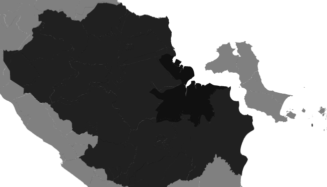
I just made an application from Arcgis Viewer for Flex 3.5 using Map Service from Arcgis Server 9.3.1. Why does the map appear in gray scale ?
[ATTACH=CONFIG]29706[/ATTACH]
I tried to make an app with arcgis server wizard, the map appears in color.
FYI, The map service has 3 layers (1 basemap and 2 operational) taken from arcgis server local. The map service is very simple, just single color. and its a dynamic map service
Please help...
thanks
4 Replies
12-10-2013
04:12 AM
- Mark as New
- Bookmark
- Subscribe
- Mute
- Subscribe to RSS Feed
- Permalink
- Report Inappropriate Content
Haniu,
Arcgis Server 9.3.1 does not provide Drawing Info data about the map service so when the map service is added to the Viewer as a Feature type it does not know how to symbolize itself. You will have to manually specify the renderer that it will use unless you add it as dynamic. When you say "Arcgis Viewer for Flex 3.5" can I assume you are talking about Application Builder (the GUI app for producing Viewer sites)? If so it could be that you are just adding your map service in correctly (i.e. drilling down to far and adding your layers as type feature).
Arcgis Server 9.3.1 does not provide Drawing Info data about the map service so when the map service is added to the Viewer as a Feature type it does not know how to symbolize itself. You will have to manually specify the renderer that it will use unless you add it as dynamic. When you say "Arcgis Viewer for Flex 3.5" can I assume you are talking about Application Builder (the GUI app for producing Viewer sites)? If so it could be that you are just adding your map service in correctly (i.e. drilling down to far and adding your layers as type feature).
12-10-2013
05:18 PM
- Mark as New
- Bookmark
- Subscribe
- Mute
- Subscribe to RSS Feed
- Permalink
- Report Inappropriate Content
Hi Robert..
thanks for the suggestion..
Yup, I use Application Builder (the GUI app for producing Viewer sites)
I changed my operationallayers code to: <layer type="dynamic" label="layer2" alpha="1.0" url="http://172.30.129.52/arcgis/rest/services/test_pl2b/MapServer" visiblelayers="2" useamf="true" mode="onDemand" visible="true"/>. And it finally shows colors
Now, this presents another "problem"... there is a drop down list that appears. Why cant i use : <layer type="dynamic" label="layer2" alpha="1.0" url="http://172.30.129.52/arcgis/rest/services/test_pl2b/MapServer/2" useamf="true" mode="onDemand" visible="true"/> ? I just want to remove the drop down list...
Thanks
12-11-2013
03:04 AM
- Mark as New
- Bookmark
- Subscribe
- Mute
- Subscribe to RSS Feed
- Permalink
- Report Inappropriate Content
Haniu,
Dynamic is for displaying the whole map service and not a single layer. You can use type feature and get that one single layer if you specify your renderer in the XML. It all comes back to you using such an older ArcGIS Server.
Here is an example.
or
Dynamic is for displaying the whole map service and not a single layer. You can use type feature and get that one single layer if you specify your renderer in the XML. It all comes back to you using such an older ArcGIS Server.
Here is an example.
<layer type="feature" label="layer2" alpha="1.0" url="http://172.30.129.52/arcgis/rest/services/test_pl2b/MapServer"
       visiblelayers="2" useamf="true" mode="onDemand" visible="true">
     <uniquevaluerenderer field="type" fielddelimiter=",">
         <uniquevalueinfo value="3" label="Campground">
             <picturemarkersymbol url="assets/images/es.png" />
         </uniquevalueinfo>
         <uniquevalueinfo value="2" label="Contained Fire">
             <picturemarkersymbol url="assets/images/fr.png" />
         </uniquevalueinfo>
         <uniquevalueinfo value="4" label="Damaged Home">
             <picturemarkersymbol url="http://sampleserver3.arcgisonline.com/ArcGIS/rest/services/Fire/Sheep/FeatureServer/0/images/7D11DE72" />
         </uniquevalueinfo>
         <uniquevalueinfo value="0" label="Fire Department">
             <picturemarkersymbol url="http://sampleserver3.arcgisonline.com/ArcGIS/rest/services/Fire/Sheep/FeatureServer/0/images/86A29AC1" />
         </uniquevalueinfo>
         <uniquevalueinfo value="6" label="Mountain">
             <picturemarkersymbol url="http://sampleserver3.arcgisonline.com/ArcGIS/rest/services/Fire/Sheep/FeatureServer/0/images/41B1D33E" />
         </uniquevalueinfo>
         <uniquevalueinfo value="5" label="Ranger Station">
             <picturemarkersymbol url="http://sampleserver3.arcgisonline.com/ArcGIS/rest/services/Fire/Sheep/FeatureServer/0/images/EEA508E3" />
         </uniquevalueinfo>
         <uniquevalueinfo value="1" label="Shelter">
             <picturemarkersymbol url="http://sampleserver3.arcgisonline.com/ArcGIS/rest/services/Fire/Sheep/FeatureServer/0/images/B0F5149C" />
         </uniquevalueinfo>
    </uniquevaluerenderer>
</layer>
or
<layer type="feature" label="layer2" alpha="1.0" url="http://172.30.129.52/arcgis/rest/services/test_pl2b/MapServer"
       visiblelayers="2" useamf="true" mode="onDemand" visible="true">
     <simplerenderer>
      <simplemarkersymbol style="triangle" color="0xFF0000" alpha="1" size="40">
         <outline width="2" color="0x0000FF" style="dashdot"  />
      </simplemarkersymbol>
   </simplerenderer>
</layer>
12-11-2013
05:00 PM
- Mark as New
- Bookmark
- Subscribe
- Mute
- Subscribe to RSS Feed
- Permalink
- Report Inappropriate Content
Thanks for the info Robert...I just knew that Dynamic is for displaying the whole map service.
Many thanks
Many thanks