- Home
- :
- All Communities
- :
- User Groups
- :
- Cartography and Maps
- :
- Questions
- :
- Make Extent Indicator Larger
- Subscribe to RSS Feed
- Mark Topic as New
- Mark Topic as Read
- Float this Topic for Current User
- Bookmark
- Subscribe
- Mute
- Printer Friendly Page
- Mark as New
- Bookmark
- Subscribe
- Mute
- Subscribe to RSS Feed
- Permalink
- Report Inappropriate Content
Hi,
I am having trouble trying to figure out a way to make the extent indicator larger (change size) when my main data frame is zoomed into about the city block level. Thanks in advanced!
Solved! Go to Solution.
Accepted Solutions
- Mark as New
- Bookmark
- Subscribe
- Mute
- Subscribe to RSS Feed
- Permalink
- Report Inappropriate Content
If you simply want to make the extent rectangle larger than it really is (a bit of a lie), you can change the line offset property deep within the extent rectangle properties.
Data Frame Properties -> Extent Indicators tab -> Frame... -> Border Properties ("i" button) -> Change Symbol... -> Edit Symbol... -> Cartographic Line Symbol -> Line Properties tab -> Change Offset to positive number
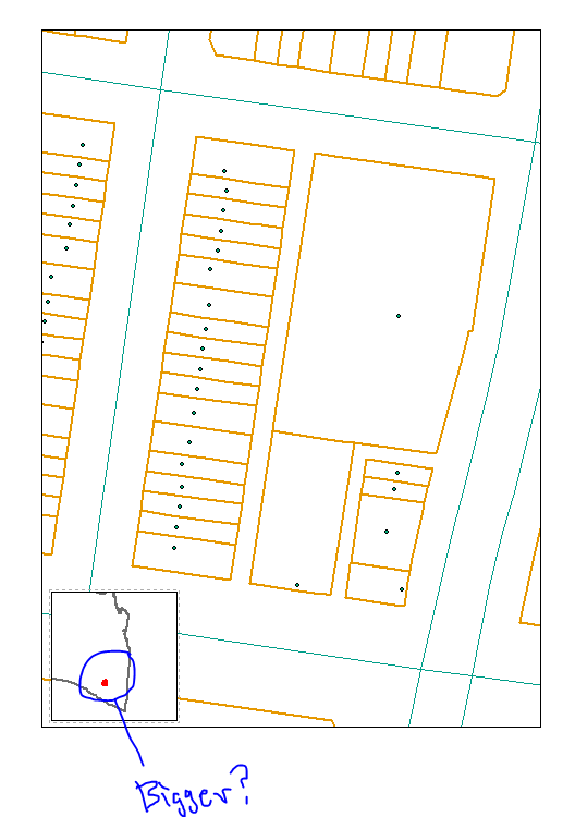
Original:

Same main map extent, with extent rectangle +4 offset:

- Mark as New
- Bookmark
- Subscribe
- Mute
- Subscribe to RSS Feed
- Permalink
- Report Inappropriate Content
If you are using ArcMap, you can manually change the zoom level of the Extent Indicator to get started, then set it to an automatic mode . Here's what you do:
1. Look at the Table of Contents for the Extent Indicator Data Frame. It is usually defaulted to "New Data Frame" but may also have been renamed.
2. Right-click on the Extent Data Frame name in the Table of Contents and choose "Activate"
3. You can now use the zoom tools to zoom in or use the Map Scale pulldown (or manually type in the map scale)
4. To make this more automatic, one can also go to the Data Frame tab and set the Extent to Fixed Scale or one of the other options.

Note - if Data Drive Pages are being employed, there are some other options (though that's another major discussion in itself).
Chris Donohue, GISP
- Mark as New
- Bookmark
- Subscribe
- Mute
- Subscribe to RSS Feed
- Permalink
- Report Inappropriate Content
If you simply want to make the extent rectangle larger than it really is (a bit of a lie), you can change the line offset property deep within the extent rectangle properties.
Data Frame Properties -> Extent Indicators tab -> Frame... -> Border Properties ("i" button) -> Change Symbol... -> Edit Symbol... -> Cartographic Line Symbol -> Line Properties tab -> Change Offset to positive number
Original:
Same main map extent, with extent rectangle +4 offset:
- Mark as New
- Bookmark
- Subscribe
- Mute
- Subscribe to RSS Feed
- Permalink
- Report Inappropriate Content
FYI
In ArcGIS Pro we added an option to switch the indicator to a point symbol when it falls below a given threshold, which the user can specify (the point symbol and the threshold).
- Mark as New
- Bookmark
- Subscribe
- Mute
- Subscribe to RSS Feed
- Permalink
- Report Inappropriate Content
I have the opposite problem in Pro, I can't make it stop collapsing to a point, I can set the Smaller Than threshold to -999, 0 or 999 but all it does is change the size of the point instead of using the extent indicator graphic.
- Mark as New
- Bookmark
- Subscribe
- Mute
- Subscribe to RSS Feed
- Permalink
- Report Inappropriate Content
Hey Darren,
This is exactly what I was looking for. Thanks