- Home
- :
- All Communities
- :
- Products
- :
- Data Management
- :
- Data Management Questions
- :
- ArcGIS and CAD....Data Relationship
- Subscribe to RSS Feed
- Mark Topic as New
- Mark Topic as Read
- Float this Topic for Current User
- Bookmark
- Subscribe
- Mute
- Printer Friendly Page
ArcGIS and CAD....Data Relationship
- Mark as New
- Bookmark
- Subscribe
- Mute
- Subscribe to RSS Feed
- Permalink
- Report Inappropriate Content
We have a database containing pipeline asset data and a series of .dwg file containing visual data. we would like a system where the all the data can be viewed and interrogated in Arc.......Is there any way of relating the two?
Can poly lines in a .dwg be assigned to a row in a table?
- Mark as New
- Bookmark
- Subscribe
- Mute
- Subscribe to RSS Feed
- Permalink
- Report Inappropriate Content
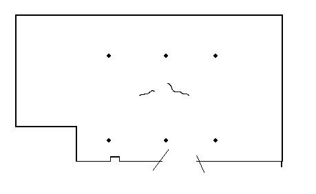
you would need an id to join on. I did a quick test and grabbed a DWG from Autodesk
AutoCAD Sample Files | AutoCAD | Autodesk Knowledge Network
I get this in GIS
the properties are
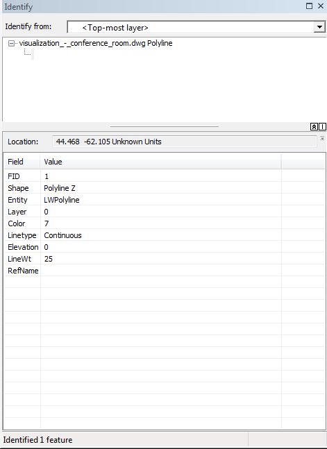
If you can use refname (on the lights the property is Flourescent Fixture - dont know how to set it in CAD) you wold be good.
Otherwise, you would have to do something crazy like put each segment on its own layer or make it a unique color.
You could convert the CAD to a shapefile and add a field to join on.