Turn on suggestions
Auto-suggest helps you quickly narrow down your search results by suggesting possible matches as you type.
Cancel
- Home
- :
- All Communities
- :
- Products
- :
- Data Management
- :
- Data Management Questions
- :
- Re: Personal or File Geodatabase connection in Aut...
Options
- Subscribe to RSS Feed
- Mark Topic as New
- Mark Topic as Read
- Float this Topic for Current User
- Bookmark
- Subscribe
- Mute
- Printer Friendly Page
Personal or File Geodatabase connection in AutoCAD
Subscribe
4966
5
11-23-2011 02:53 AM
11-23-2011
02:53 AM
- Mark as New
- Bookmark
- Subscribe
- Mute
- Subscribe to RSS Feed
- Permalink
- Report Inappropriate Content
Does anyone know which provider I would need to download and install to connect to a personal or file geodatabase in AutoCAD Map 3D/Civil 3D 2012?
Also, could you provide a website or link to where it can be downloaded and a few quick steps for updating/configuring the AutoCAD providers list?
Thanks in advance!!
Also, could you provide a website or link to where it can be downloaded and a few quick steps for updating/configuring the AutoCAD providers list?
Thanks in advance!!
5 Replies
12-16-2011
01:39 PM
- Mark as New
- Bookmark
- Subscribe
- Mute
- Subscribe to RSS Feed
- Permalink
- Report Inappropriate Content
12-21-2011
02:43 AM
- Mark as New
- Bookmark
- Subscribe
- Mute
- Subscribe to RSS Feed
- Permalink
- Report Inappropriate Content
12-21-2011
11:36 AM
- Mark as New
- Bookmark
- Subscribe
- Mute
- Subscribe to RSS Feed
- Permalink
- Report Inappropriate Content
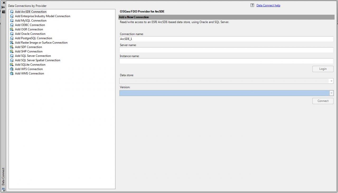
I do not have the FDO 'Add ArcGIS Connection' in Map 3D 2012. I have attached a screenshot of the providers I have.
Was the 'Add ArcGIS Connection' a standard provider or did you download a provider?
Hi Matthew,
Are you running Map3D 2012 on a 64 bit os? FDO ArcGIS Provider is not supported on 64 bit operating systems.
12-30-2011
06:03 AM
- Mark as New
- Bookmark
- Subscribe
- Mute
- Subscribe to RSS Feed
- Permalink
- Report Inappropriate Content
I am running Map3D 2012 on a 64bit machine. I believe all of the machines in our office that have Map3D 2012 are 64bit.
Can I connect to a file or personal geodatabase with a 64bit machine?
Can I connect to a file or personal geodatabase with a 64bit machine?
01-03-2012
07:31 AM
- Mark as New
- Bookmark
- Subscribe
- Mute
- Subscribe to RSS Feed
- Permalink
- Report Inappropriate Content
I am running Map3D 2012 on a 64bit machine. I believe all of the machines in our office that have Map3D 2012 are 64bit.
Can I connect to a file or personal geodatabase with a 64bit machine?
You will have to contact Autodesk support for this issue. If you read Map 3D Help, they mention that FDO ArcGIS Provider is not supported on 64 bit operating systems.