- Home
- :
- All Communities
- :
- Developers
- :
- Developers - General
- :
- Developers Questions
- :
- Need help creating a dynamic map
- Subscribe to RSS Feed
- Mark Topic as New
- Mark Topic as Read
- Float this Topic for Current User
- Bookmark
- Subscribe
- Mute
- Printer Friendly Page
Need help creating a dynamic map
- Mark as New
- Bookmark
- Subscribe
- Mute
- Subscribe to RSS Feed
- Permalink
- Report Inappropriate Content
Here is the steps for creating a map
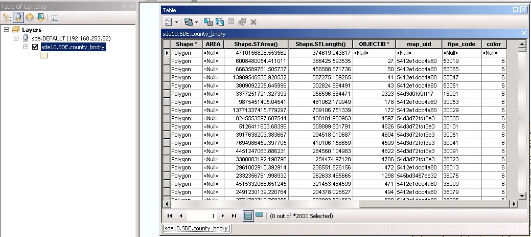
1 the user selects criteria for creating a map and a set of records are created containing userMapId, county fips code and a color code (1-6)
2 the records are put into a geodatabase (all user's map request data goes into this geodatabase
And now that the data is there we have a service that has a map with the database connected to it
( http://walk.ceris.purdue.edu/arcgis/rest/services/maps/county_map/MapServer )
We need to be able to call the service with the user map id ie: ?mapid=5548793393
then render the map with the countys (using county fips codes) colored by using the color code.
The color codes are 1-6 which will have to be converted into a color (at this time the color could be any hex codes)
Attached is part of the database and what the current map looks like and what we want to do.
I hope this makes sense what we want to do
Any help is greatly appreciated as we are in real need for a solution
you may contact me @ jakruse@purdue.edu
Thanks so much
James Kruse