- Home
- :
- All Communities
- :
- Services
- :
- Esri Training
- :
- Esri Training Questions
- :
- Re: Earth Imagery at Work AMA (Ask Me Anything): F...
- Subscribe to RSS Feed
- Mark Topic as New
- Mark Topic as Read
- Float this Topic for Current User
- Bookmark
- Subscribe
- Mute
- Printer Friendly Page
Earth Imagery at Work AMA (Ask Me Anything): Friday Oct 20, 10:30 am-11:30am PT
- Mark as New
- Bookmark
- Subscribe
- Mute
- Subscribe to RSS Feed
- Permalink
- Report Inappropriate Content
Join Earth Imagery at Work instructors Kevin Butler and Emily Windahl, live here on the GeoNet Community for an AMA (Ask Me Anything). The AMA will take place in this discussion thread on Friday October 20, 2017 from 10:30am-11:30am PT, and we invite you to ask Kevin and Emily questions about the course, about earth imagery data, Esri software, GIS or anything else that comes to mind.
During the AMA, if you are logged in, you can post your questions in the comments below and Kevin and Emily will reply to your questions in comments. You're welcome to post questions ahead of the AMA but we won't begin answering them until the AMA begins on October 20 at 10:30am PT.
AMA Tips and GeoNet Community Guidelines
- When asking questions and comments during the AMA, remember to follow the GeoNet Community Guiding Principles.
- This discussion page will not auto-refresh, so please remember to refresh this page to see new questions, comments and replies.
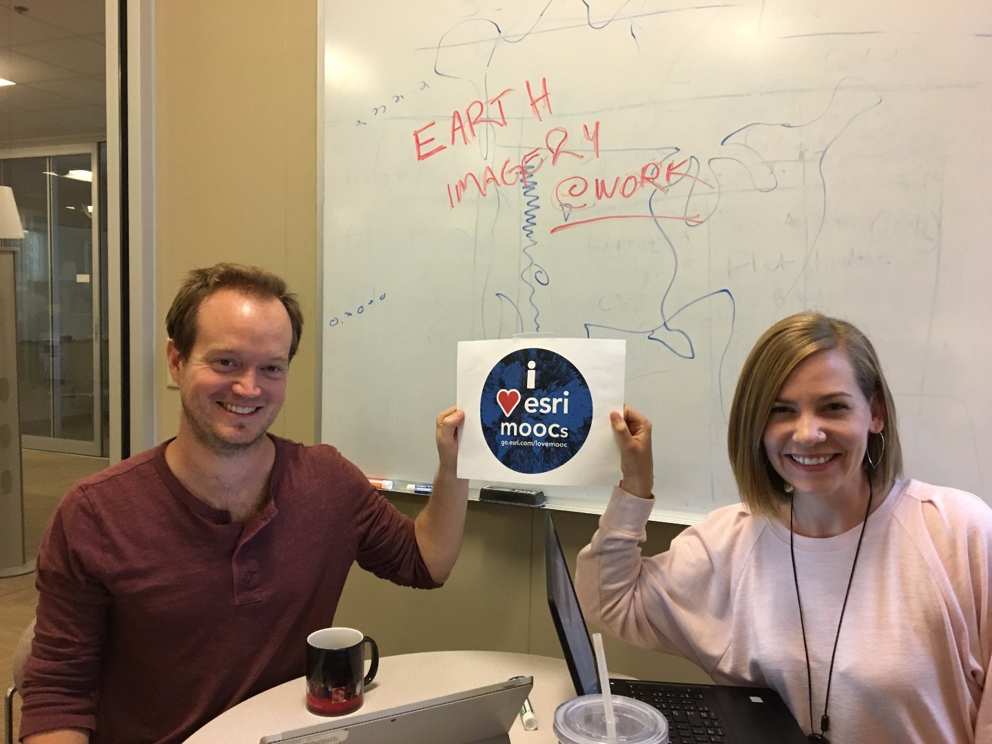
You'll know the AMA is live when you see the picture below with Kevin and Emily.
Thanks for joining us and we'll see you then!
10:30am - And we're live! Go ahead and ask your questions!
11:03am - We're halfway through. Great questions! Keep 'em coming!
11:25am - Five minutes to go! Got any fun questions for Kevin and Emily?
11:30am - Overtime! We'll take your questions too during this bonus 10 minutes!
11:40am - And that's a wrap! The live AMA has ended but Kevin and Emily will continue to answer questions as schedules allow. Thanks for joining us and asking great questions!
- Mark as New
- Bookmark
- Subscribe
- Mute
- Subscribe to RSS Feed
- Permalink
- Report Inappropriate Content
Hi Emily and Kelvin. A big thanks for the well designed course 'EIAW' just completed. I have masters in Remote sensing and PGD in GIS, but haven't really be on the field with the discipline, and now taking business analyst courses. I don't want to loose knowledge on GIS, remote sensing applications. What can I do? or whats the way forward to retain my knowledge and what professional exam can I pursue? Please advise. Thank you.
- Mark as New
- Bookmark
- Subscribe
- Mute
- Subscribe to RSS Feed
- Permalink
- Report Inappropriate Content
Hi Kenneth. You might check with ASPRS to see what kinds of continuing education resources they have, and look into their certification program. Also check out Esri's training resources, a lot of which are online.
- Mark as New
- Bookmark
- Subscribe
- Mute
- Subscribe to RSS Feed
- Permalink
- Report Inappropriate Content
thanks
- Mark as New
- Bookmark
- Subscribe
- Mute
- Subscribe to RSS Feed
- Permalink
- Report Inappropriate Content
Kevin, Emily, et al,
First, thanks for this great chance to learn from experts... especially for the generous price. My question is more general... I'm looking to make a career move from many years in journalism to a more geopolitical direction with GIS being at the core of what I want to do. I had experience with v.9.1 (yes I know it's ancient) and had not had the chance to delve into the current world of GIS, after taking this course and learning about the latest, greatest versions of Pro Desktop and online, it is very exciting and a bit overwhelming. Any advice, direction as I muddle my way forward? Knowing that there are so many experts in their fields utilizing this adds to both the excitement as well as the intimidation, I'd like to work with these type of people. Also want to get ideas for working with drones?
- Mark as New
- Bookmark
- Subscribe
- Mute
- Subscribe to RSS Feed
- Permalink
- Report Inappropriate Content
Hi Robert,
I'd say the best thing to do is keep learning how to use ArcGIS Pro and ArcGIS Online. Anyone in the US can get a Personal Use license for $100/year. You can't use it commercially, but if you want to brush up on GIS skills, that's a good place to start. The license includes ArcGIS Pro and an ArcGIS Online organizational account. There are also great Esri training resources, many of which are available online.
- Mark as New
- Bookmark
- Subscribe
- Mute
- Subscribe to RSS Feed
- Permalink
- Report Inappropriate Content
Hey Robert, congrats on the career transition. My advice is to think of GIS as a story telling tool. Look for resources that focus on data visualization as well as geospatial analysis. I would think that most publications are going to want to someone who can work with all kinds of data formats and GIS will be one part of that.
You can also keep an eye out for the Cartography. MOOC that's coming up next year. It's still in development, so I don't have a launch date for you, but I think it would be perfect for someone on your career path. Here's a link:
As for working with drones, start with something you can afford to crash  . Once you get the hang of it, then graduate to something more professional. Depending on where you live, there might be meetup groups where you can geek out with other enthusiasts. Also, be wary of buying drone packages. If you search online, you can find youtube videos of people who DIY a drone setup that can collect geospatially-enabled imagery.
- Mark as New
- Bookmark
- Subscribe
- Mute
- Subscribe to RSS Feed
- Permalink
- Report Inappropriate Content
That sounds great, Kevin. I am looking forward to the cartography mooc! Sound advice. My brother, also a journalist, is a licensed commercial drone pilot. So eager to share opportunities with him in this regard.
Will take your and Emily's advice to heart.
- Mark as New
- Bookmark
- Subscribe
- Mute
- Subscribe to RSS Feed
- Permalink
- Report Inappropriate Content
I just want to give a big thanks to everyone involved putting this class together. I found all of the material very useful, and cant wait to implement what I have learned on my study of surface deformation in enhanced oil recovery projects as well as finding pipelines through thermal drone imagery. I literally took this class at the perfect moment in my career. I am already presenting to the technical director on Monday on what I have don't with the drone thermal imagery. Thanks again, cant wait until the next course!
- Mark as New
- Bookmark
- Subscribe
- Mute
- Subscribe to RSS Feed
- Permalink
- Report Inappropriate Content
That is so cool! How do you feel about the presentation? Need any technical questions answered? Now's a good time--there's a bunch of us here answering questions!
- Mark as New
- Bookmark
- Subscribe
- Mute
- Subscribe to RSS Feed
- Permalink
- Report Inappropriate Content
Google earth imagery is giving very poor elevation giving level difference in meters of any spot. Please suggest best available imagery for getting accurate elevations of spots preferably free or nominal cost. .