- Home
- :
- All Communities
- :
- Services
- :
- Esri Training
- :
- Esri Training Questions
- :
- Re: Earth Imagery at Work AMA (Ask Me Anything): F...
- Subscribe to RSS Feed
- Mark Topic as New
- Mark Topic as Read
- Float this Topic for Current User
- Bookmark
- Subscribe
- Mute
- Printer Friendly Page
Earth Imagery at Work AMA (Ask Me Anything): Friday Oct 20, 10:30 am-11:30am PT
- Mark as New
- Bookmark
- Subscribe
- Mute
- Subscribe to RSS Feed
- Permalink
- Report Inappropriate Content
Join Earth Imagery at Work instructors Kevin Butler and Emily Windahl, live here on the GeoNet Community for an AMA (Ask Me Anything). The AMA will take place in this discussion thread on Friday October 20, 2017 from 10:30am-11:30am PT, and we invite you to ask Kevin and Emily questions about the course, about earth imagery data, Esri software, GIS or anything else that comes to mind.
During the AMA, if you are logged in, you can post your questions in the comments below and Kevin and Emily will reply to your questions in comments. You're welcome to post questions ahead of the AMA but we won't begin answering them until the AMA begins on October 20 at 10:30am PT.
AMA Tips and GeoNet Community Guidelines
- When asking questions and comments during the AMA, remember to follow the GeoNet Community Guiding Principles.
- This discussion page will not auto-refresh, so please remember to refresh this page to see new questions, comments and replies.
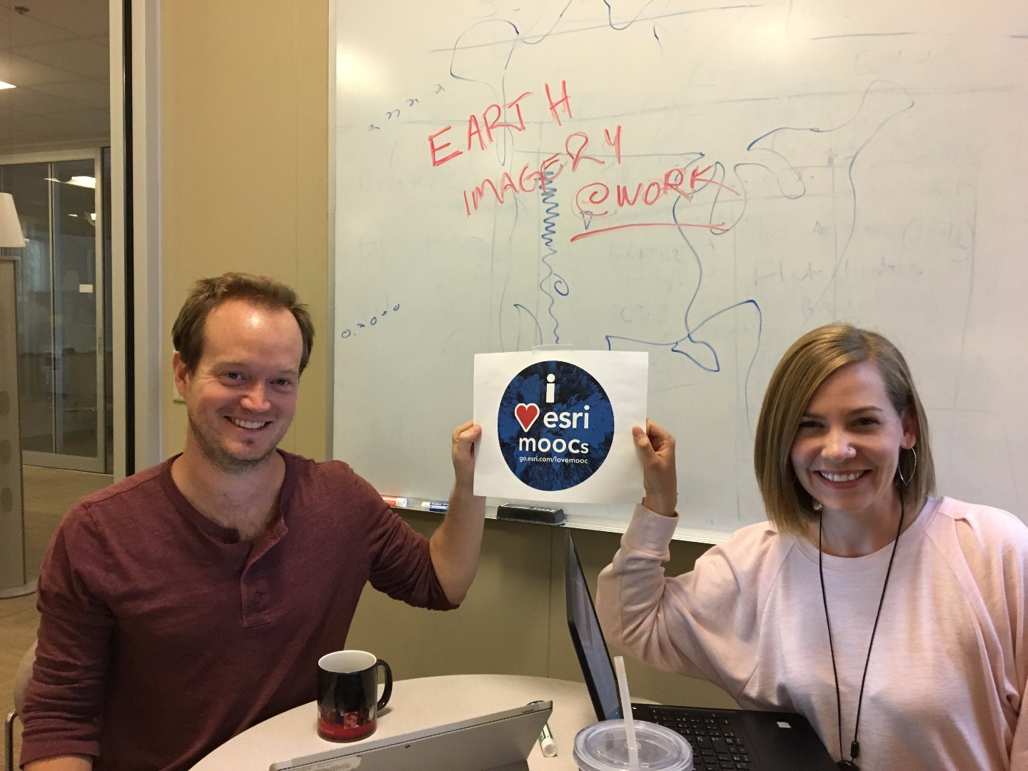
You'll know the AMA is live when you see the picture below with Kevin and Emily.
Thanks for joining us and we'll see you then!
10:30am - And we're live! Go ahead and ask your questions!
11:03am - We're halfway through. Great questions! Keep 'em coming!
11:25am - Five minutes to go! Got any fun questions for Kevin and Emily?
11:30am - Overtime! We'll take your questions too during this bonus 10 minutes!
11:40am - And that's a wrap! The live AMA has ended but Kevin and Emily will continue to answer questions as schedules allow. Thanks for joining us and asking great questions!
- Mark as New
- Bookmark
- Subscribe
- Mute
- Subscribe to RSS Feed
- Permalink
- Report Inappropriate Content
thanks Kevin! i'm in the consulting firm, to me it looks like a very traditional area. Me and my colleagues are just software users as Arcgis is not used as often as AutoCAD...but i'm looking for a change...thank you for suggesting!
btw, javascript is more easier, right? i only have a background in VB from university, not even C/C++...
- Mark as New
- Bookmark
- Subscribe
- Mute
- Subscribe to RSS Feed
- Permalink
- Report Inappropriate Content
thank you so much Nick! I want to learn python because i want to customize technical analyses for different cases, at least i know something about programming and not ask idiotic questions to programmers.
Definitely i'm more interested in professional or technical but haven seen quite a few in Canada, mostly was software related positions.
- Mark as New
- Bookmark
- Subscribe
- Mute
- Subscribe to RSS Feed
- Permalink
- Report Inappropriate Content
Hi, Tianjiao--depending on what you are interested in doing, you might also look at JavaScript courses. Good luck!
- Mark as New
- Bookmark
- Subscribe
- Mute
- Subscribe to RSS Feed
- Permalink
- Report Inappropriate Content
thanks Emily!
- Mark as New
- Bookmark
- Subscribe
- Mute
- Subscribe to RSS Feed
- Permalink
- Report Inappropriate Content
This is my second MOOC, and it has been a wonderful platform for enhancing skill set and learning new ways for approaching data analysis and presentation.
Keep it up.
- Mark as New
- Bookmark
- Subscribe
- Mute
- Subscribe to RSS Feed
- Permalink
- Report Inappropriate Content
Thanks Mark--anything you would liked to have seen that we can add for the future?
- Mark as New
- Bookmark
- Subscribe
- Mute
- Subscribe to RSS Feed
- Permalink
- Report Inappropriate Content
Yes, has there been a fix for the ArcGIS Pro crash some of us got when trying to apply the SQL query in Section 3 Ex 2?
I've had a few other crashes in Pro related to the map graphics, but this was the first time I saw something like this with a process.
- Mark as New
- Bookmark
- Subscribe
- Mute
- Subscribe to RSS Feed
- Permalink
- Report Inappropriate Content
Hi, Mark. No fix yet. We've handed it off to our engineers, who are working on it. Thanks for following up!
- Mark as New
- Bookmark
- Subscribe
- Mute
- Subscribe to RSS Feed
- Permalink
- Report Inappropriate Content
I am so much grateful to all instructors and co-workers who made this extra-ordinary and exiting MOOC course of Earth Imagery At Work. The course enhanced theoretical, and technical capacity as well as the scope I used to have while implementing application of GIS, Remote Sensing and Imagery as a common ground. Having said this, I would like to ask a question and that is the fact that the course was 6 weeks and spending 2- 3 hours a week, course duration is mentioned to be 1.5 hours in the certificate I have been awarded. Besides, I think it would be very clear for one who sees the certificate to know quickly what platforms we have been training; meaning it does not mention we have been trained using ArcGIS Online and Arc GIS Pro. So, what if the certificate is corrected accordingly? Once again my appreciation to all of you for your excellent job! Sabit Mohammed.
- Mark as New
- Bookmark
- Subscribe
- Mute
- Subscribe to RSS Feed
- Permalink
- Report Inappropriate Content
Hello Sabit,
I'm so glad you learned so much from the course! We really have a good time putting these courses together and offering them to students like you.
You and many other students were concerned that the course certificates from our partner Udemy include a timeframe of 1.5 hours. We know that student spend far more time than that over the six weeks of the course. Because of Esri MOOC students' communications with Udemy, the company is working to provide a solution related to hours noted. We will share information with you via an announcement or a post on the Q&A when we have further information about any changes to the certificates. Thanks for your patience on this matter.
Thanks for your question.
Adena