- Home
- :
- All Communities
- :
- Services
- :
- Esri Training
- :
- Esri Training Questions
- :
- Re: Mar. 2, 2018 - Earth Imagery at Work AMA (Ask ...
- Subscribe to RSS Feed
- Mark Topic as New
- Mark Topic as Read
- Float this Topic for Current User
- Bookmark
- Subscribe
- Mute
- Printer Friendly Page
Mar. 2, 2018 - Earth Imagery at Work AMA (Ask Me Anything)
- Mark as New
- Bookmark
- Subscribe
- Mute
- Subscribe to RSS Feed
- Permalink
- Report Inappropriate Content
Live AMA Event on GeoNet: Friday, Mar. 2, 10:30 a.m. - 11:30 a.m. (PST)
We invite you to join Earth Imagery at Work MOOC instructors Kevin Butler and Emily Windahl here on the GeoNet Community for a LIVE AMA (Ask Me Anything) event. The AMA will take place in this discussion thread on Friday March 2, 2018 from 10:30 a.m. - 11:30 a.m. (PST).
*Click HERE to convert exact time for different countries.
This is an opportunity to ask Kevin and Emily questions about the course, about earth imagery data, Esri software, GIS or anything else that comes to mind.
How does the AMA work?
During the AMA, you can post your questions by clicking  the "Add Reply" button below and Kevin and Emily will reply to your questions in comments. You are welcome to post questions ahead of the AMA and they will answer them during the AMA.

Please note: You must be logged in to post questions and see responses. Please see instructions on How to Log into GeoNet for the AMA.
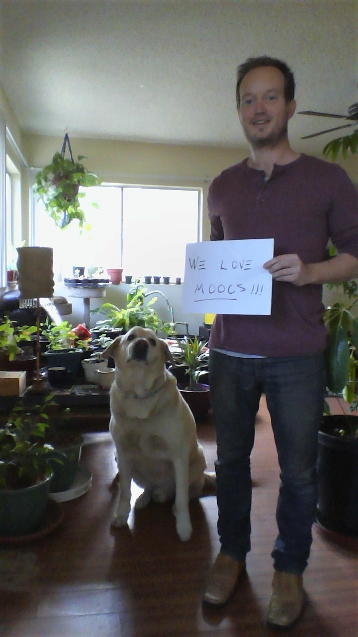
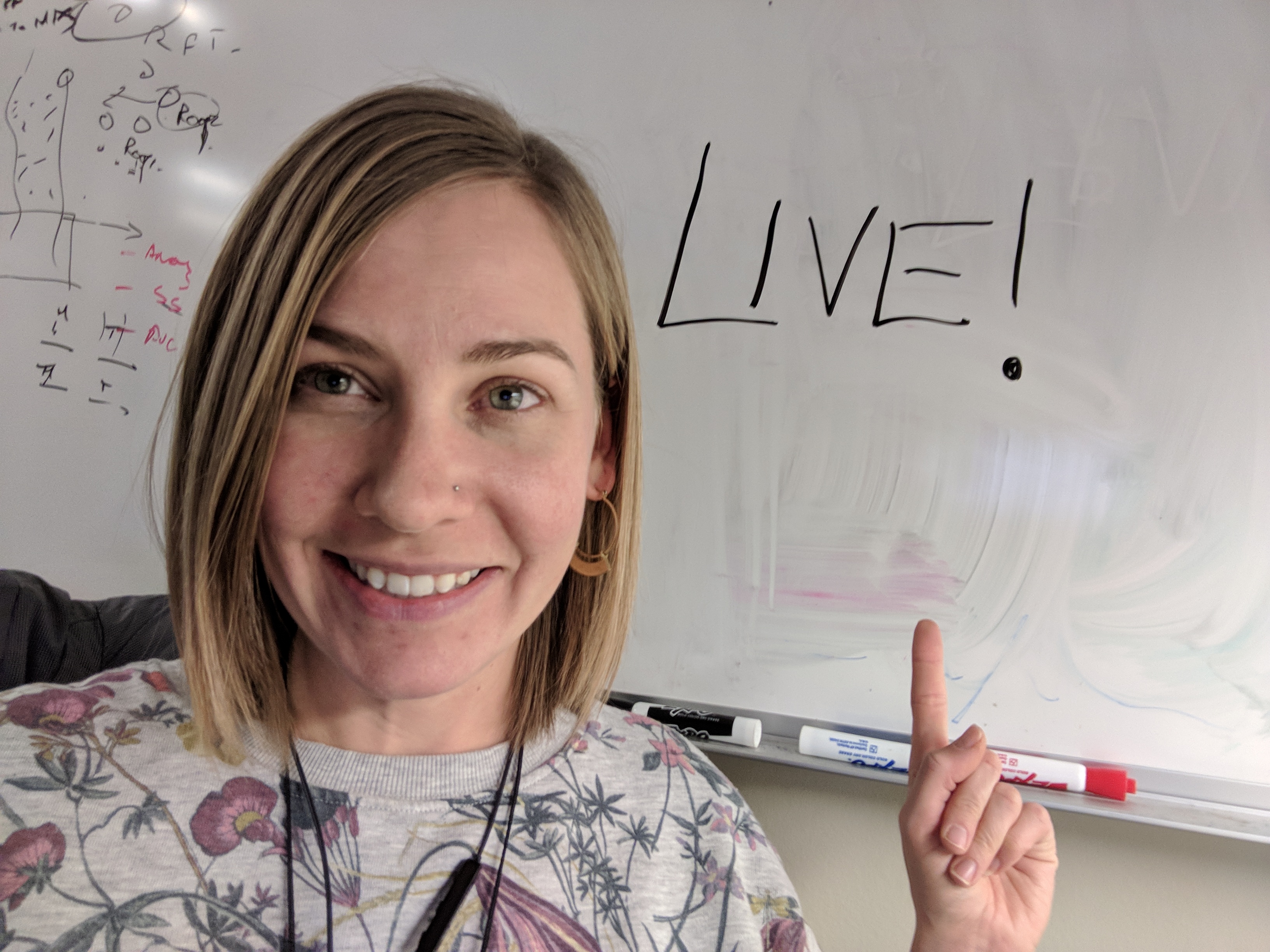
We are live with Kevin Butler and Emily Windahl!
 |  Thanks for joining us! |
AMA Tips and GeoNet Community Guidelines
- When asking questions and comments during the AMA, remember to follow the GeoNet Community Guiding Principles: Be Helpful, Be Human, Be Smart.
- This discussion page will not auto-refresh, so please remember to refresh this page to see new questions, comments and replies.
10:30 am - And we're live! Go ahead and ask your questions!
11:00 am - We're halfway through, Great questions! Keep them coming!
11:25 am - Five minutes to go! Got any fun questions for Kevin or Emily?
11:30 am - And that's a wrap! The live AMA has ended with Kevin and Emily. They will continue to answer questions as schedules allow.
Thanks for joining us and asking great questions!
- Mark as New
- Bookmark
- Subscribe
- Mute
- Subscribe to RSS Feed
- Permalink
- Report Inappropriate Content
Hi Umut,
Again, we'll need to do some research to get these questions to the right people. We'll get back to you!
Adena
- Mark as New
- Bookmark
- Subscribe
- Mute
- Subscribe to RSS Feed
- Permalink
- Report Inappropriate Content
Hi ucok_umut
There are several questions similar to your question about the Runtime SDK mobile application and deployment packs on https://community.esri.com/community/developers/native-app-developers/arcgis-runtime-sdk-for-net?sr=....
- Mark as New
- Bookmark
- Subscribe
- Mute
- Subscribe to RSS Feed
- Permalink
- Report Inappropriate Content
Hi Candace,
Could you send me those related questions? We couldn't find. Many of them about deployment packs but I can't find any useful answer about over 1000 field operators what do we have to do like i asked you.
- Mark as New
- Bookmark
- Subscribe
- Mute
- Subscribe to RSS Feed
- Permalink
- Report Inappropriate Content
Do you have any suggestions for small to medium-sized projects where someone could use imagery like the kind we are using in the class to benefit their local community? I want to do some volunteer work but since I am new to imagery I would love some project ideas from some imagery experts!
Thanks 
- Mark as New
- Bookmark
- Subscribe
- Mute
- Subscribe to RSS Feed
- Permalink
- Report Inappropriate Content
Hi, Michael; great question. I'd start talking to organizations in your community about the needs they have and the kinds of problems they're interested in solving. With the tools you've learned about in class, you can get creative and start thinking about what you can do to help. I've seen projects that helped cities identify the best places to put stormwater BMPs, or used aerial imagery to find abandoned buildings in Detroit to target for removal. It really depends what kind of needs your city and local nonprofits have. Do you have any ideas about the kinds of problems you're interested in looking at, or the organizations you want to work with?
- Mark as New
- Bookmark
- Subscribe
- Mute
- Subscribe to RSS Feed
- Permalink
- Report Inappropriate Content
This Learn lesson might also be a helpful resource: Calculate Impervious Surfaces from Spectral Imagery.
- Mark as New
- Bookmark
- Subscribe
- Mute
- Subscribe to RSS Feed
- Permalink
- Report Inappropriate Content
Honestly, I don't have any decent ideas! I feel like imagery can be used in so many different areas that I don't know where to start. Sorta like I know I now have a powerful a solution but don't yet know what problems I could be solving. I have a feeling more than a few people can relate. So I was just wondering if the team had any general examples of projects that have been done in the past that really helped out a community or provided some sort of solution using imagery analysis. I am a GIS tech working for the city I live in so I have pretty good access to most of the departments here...
- Mark as New
- Bookmark
- Subscribe
- Mute
- Subscribe to RSS Feed
- Permalink
- Report Inappropriate Content
If I was to make a blanket statement about the usefulness of imagery, it would be to try and map vegetation somehow. It's just so much simpler to get a solid result than mapping other phenomena. Is there anything in your area that you're interested in that is vegetation-related?
- Mark as New
- Bookmark
- Subscribe
- Mute
- Subscribe to RSS Feed
- Permalink
- Report Inappropriate Content
I will have to start looking around town more at the vegetation to see what issues we might have. We have some larger parks that might benefit from a detailed look. Thanks Kevin!
- Mark as New
- Bookmark
- Subscribe
- Mute
- Subscribe to RSS Feed
- Permalink
- Report Inappropriate Content
Hi Michael,
Here are some ideas of student projects from the University of Minnesota that might give you some ideas:
Student Projects | Remote Sensing Core Curriculum
Adena