- Home
- :
- All Communities
- :
- Services
- :
- Esri Training
- :
- Esri Training Questions
- :
- Re: May 15, 2018: Cartography. MOOC Ask Me Anythin...
- Subscribe to RSS Feed
- Mark Topic as New
- Mark Topic as Read
- Float this Topic for Current User
- Bookmark
- Subscribe
- Mute
- Printer Friendly Page
May 15, 2018: Cartography. MOOC Ask Me Anything (AMA)
- Mark as New
- Bookmark
- Subscribe
- Mute
- Subscribe to RSS Feed
- Permalink
- Report Inappropriate Content
Live Today! AMA Event on GeoNet
Tuesday, May 15, 9:30 a.m. - 10:30 a.m. (PDT)
Join our Cartography. MOOC guests here on the GeoNet Community for a LIVE AMA (Ask Me Anything) event. The AMA will take place in this discussion thread on Tuesday, May 15, 2018, from 9:30 a.m. - 10:30 a.m. (PDT).
*Click HERE to convert exact time for different countries.
This is an opportunity to ask our guests questions about the Cartography. MOOC course, about cartography in general, great maps, best practices or anything else that comes to mind.
AMA Guests
How does the AMA work? During the AMA, you can post your questions by clicking the "Add Reply" button below and our guests will reply to your questions in comments. You are welcome to post questions ahead of the AMA and they will answer them during the AMA.Please note: You must be logged in to post questions and see responses. See instructions on How to Log into GeoNet for the AMA. AMA Tips and GeoNet Community Guidelines
- When asking questions and comments during the AMA, remember to follow the GeoNet Community Guiding Principles: Be Helpful, Be Human, Be Smart.
- This discussion page will not auto-refresh, so please remember to refresh this page to see new questions, comments and replies.
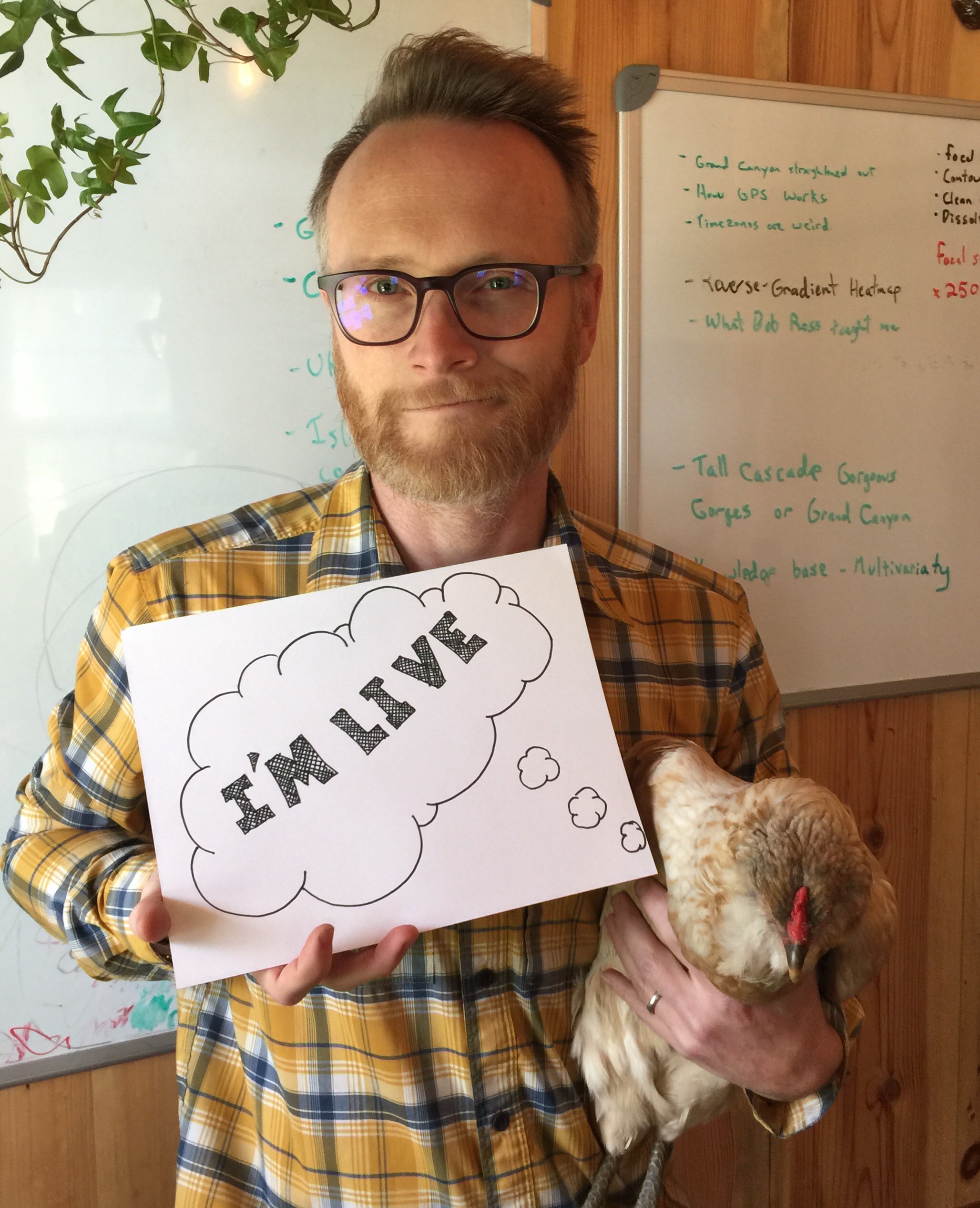
Please note: The AMA will be live when you see a picture of our guests below. We are live!
 | 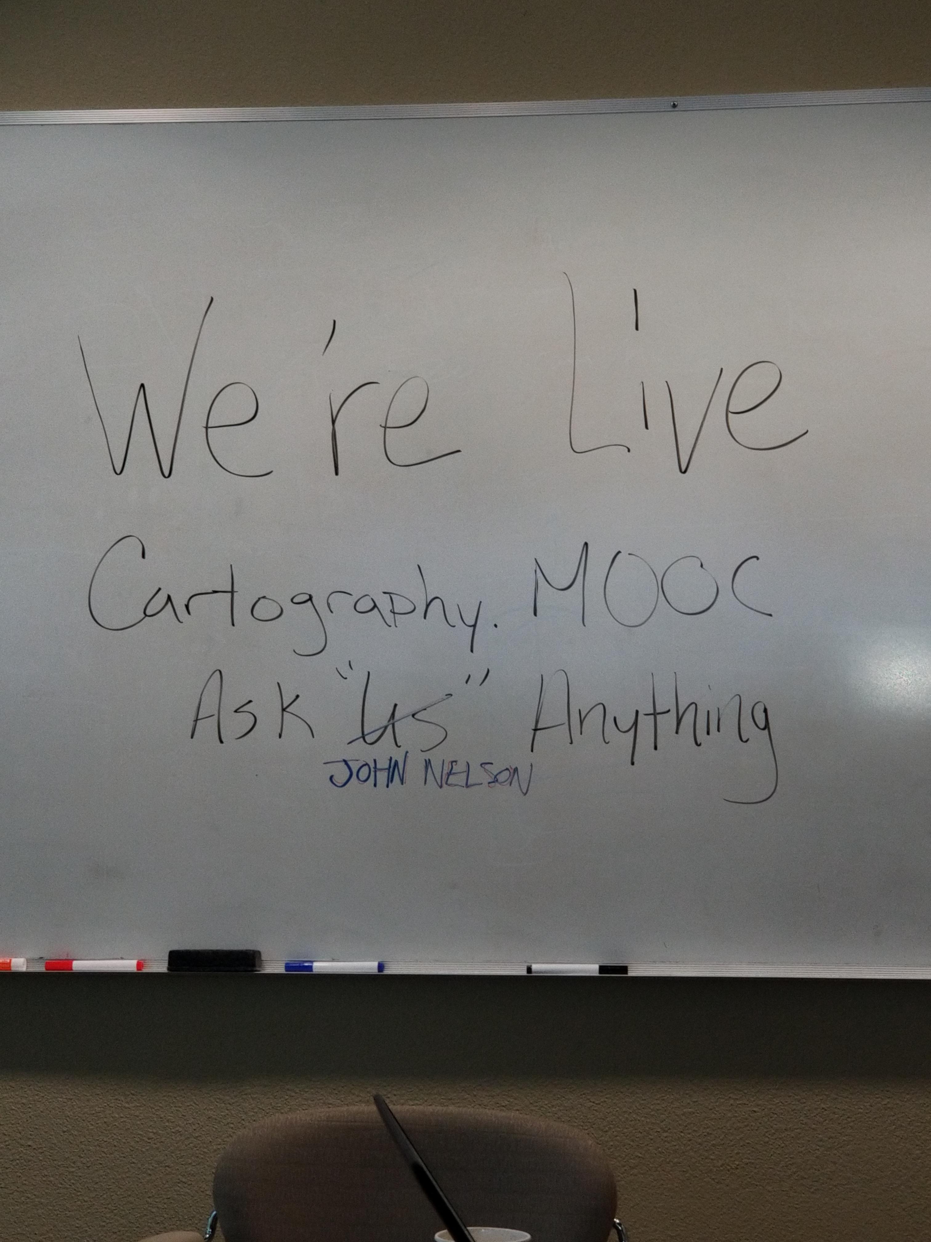 |
9:30 a.m. - And we're live! Go ahead and ask your questions!
9:45 a.m. - If you are just joining us, feel free to ask any question.
10:00 a.m. - We're halfway through, Great questions! Keep them coming!
10:15 a.m. - If you are just joining us, feel free to ask any question.
10:25 a.m. - Five minutes to go! Got any fun questions for our Guests?
10:30 a.m. - And that's a wrap! The live AMA has ended with our wonderful Cartography. MOOC Guests.
Thank you for your questions and participation.
The thread has shifted to a time-stamp view. To view the threads in their entirety, you can select the Actions above the right corner of the discussion thread and select View PDF.
- Mark as New
- Bookmark
- Subscribe
- Mute
- Subscribe to RSS Feed
- Permalink
- Report Inappropriate Content
Hi,
Sometimes a map can be part of a product line, with its own design manual, such as an info board for national parks. The map is to fit with the overall message and design of the board. Colors, typefaces, icons and other elements to be used are already decided, maybe by a graphic design team. Including rules that no italic fonts are to be used on the map (nice for rivers), and no placenames in just capital letters (could be useful for mountain ranges). Have you worked in scenarios like this? With constraints that excludes common cartographic conventions? Do you have examples of maps that go against some common rules? A case of this is not best practice, but here it works?
Thanks for highlighting Daniel Huffman and his page Something About Maps! His tutorials will be very useful.
- Mark as New
- Bookmark
- Subscribe
- Mute
- Subscribe to RSS Feed
- Permalink
- Report Inappropriate Content
My experience in moonlighting as a cartographer in the past was pretty disastrous. But in doing services work for an organization before esri, I would frequently have to use corporate style sheets. I learned that some companies have guidelines (wink) and others have rules (yikes!). The latitude you have depends a lot on the customer.
But, if you pay for the band you name the tune.
- Mark as New
- Bookmark
- Subscribe
- Mute
- Subscribe to RSS Feed
- Permalink
- Report Inappropriate Content
Hi Lina,
This is a great question, and yes you are absolutely right that in many cases there are constraints for your map that are beyond basic cartography principles.
Remember that a map is just a form of graphic communication. There will always be constraints in this. So begin with those constraints and work around them.
If you need to follow a color scheme, begin there. Choose or create symbols that follow that color constraint. You can choose text colors that match that too.
Italics on rivers and other physical features is a common convention, but not a must. There are few hard and fast rules in Cartography that can't be worked around. You can differentiate these forms in different ways, perhaps a lighter version of the same typeface.
So, start with the constraints, then use your best judgement and skill to work the rest of the design around those in a clear and complementary way.
Edie
- Mark as New
- Bookmark
- Subscribe
- Mute
- Subscribe to RSS Feed
- Permalink
- Report Inappropriate Content
Off the top of my head I don't have any maps that buck trends in the way you describe but many maps have to adhere to style specs, standards, colour identities etc. It's a fact of cartographic life! I guess all you can do is make alternatives and put them in front of people to try and show them a better/different way. Remember, the London underground map looked very different before Harry Beck came up with his version which was not well received by the company to start with.
- Mark as New
- Bookmark
- Subscribe
- Mute
- Subscribe to RSS Feed
- Permalink
- Report Inappropriate Content
Hello 🙂
I have really been enjoying the MOOC so far! I am looking forwards to the next section with 3D as well.
I have a few questions for you all:
1) What advice would you give to GIS analysts/ cartographers that want to start bumping up their game in the industry? (Blogging? Publishing? etc.) What would be good first steps?
2) For those of you that have done work in consulting or fast-paced/client-based industries, how to you balance creating beautiful and "good" cartography/ maps, vs. what the client insists they want but may fall in carto-fail territory?
3) I have seen a bunch of the work you all have done via blogs, twitter, Esri UC presentations, etc. and you all create such amazing, diverse and fun pieces (3D models of JKF's route, firefly, breweries of the world, historic collections, hand drawn/inking skills, and the incredible list goes on and on...ok ok sorry I'll stop being a total fan-girl here) I was hoping each of you could tell us which of the maps you have created is your favorite or the one you are most proud of?(and if there's time, what about it made it special to you?)
Thanks again for putting together this Mooc, it's been very fun and very educational!
- Mark as New
- Bookmark
- Subscribe
- Mute
- Subscribe to RSS Feed
- Permalink
- Report Inappropriate Content
1) Blogging was a huge help for me. If I have to explain something to another human, I find that I have to start thinking about my creative structure, too. Also, experiment with your maps and share, asking for advice.
2) The best you can do is to be versed in the big rules of effective visualization. If they ask you to break them and you rationally and politely address your concern, they tend to be really understanding. But not always
3) Thanks! I like the hurricane map the we had as a stretch goal in week 2. That might be my favorite map. Or a pivotal one for me, anyway.
- Mark as New
- Bookmark
- Subscribe
- Mute
- Subscribe to RSS Feed
- Permalink
- Report Inappropriate Content
I think the best advice I can give you is immerse yourself in maps and just try and see what has worked over many many years for others. Identify the good from the weak and build yourself an appreciation and your own set of likes/dislikes and what techniques you are drawn to...then give them a go AND SIGN YOUR WORK. Blog about it, share it, send it to map galleries and competitions. Put it in front of people and get critique.
I did the map design commission map a day blog precisely to create a set of great maps that people can learn from: Commission on Map Design | Website of the newly established ICA Commission on Map Design
Consultancy - it pays the bills. I've done plenty of maps paid for by others that I wouldn't have designed that way myself BUT they were all well made. Maybe not to my taste but they worked.
I don't have a particular favourite personal map of mine. It's usually the latest one I've made because there's usually some technical or conceptual aspect I've been pleased to tackle. But I still like the Deaths in the Grand Canyon because it's so dramatic. I also like Breweries of the World because you don't often get asked to make a 20ft map of beer for a brewery. A lot of my maps are here: carto.maps.arcgis.com
- Mark as New
- Bookmark
- Subscribe
- Mute
- Subscribe to RSS Feed
- Permalink
- Report Inappropriate Content
Thank you for the link, I'll be spending a lot of time later checking out your maps. I'm glad I didn't see your Death in the Grand Canyon map before I went hiking there a couple of weeks ago!
- Mark as New
- Bookmark
- Subscribe
- Mute
- Subscribe to RSS Feed
- Permalink
- Report Inappropriate Content
Thank you for this great advise! Other than the UC map gallery... what other map competitions or galleries would you recommend for beginners to start submitting their work to?
- Mark as New
- Bookmark
- Subscribe
- Mute
- Subscribe to RSS Feed
- Permalink
- Report Inappropriate Content
I would submit your work to the public gallery of social media. Like Instagram and Twitter. No better way of sharing and getting feedback.