- Home
- :
- All Communities
- :
- Services
- :
- Esri Training
- :
- Esri Training Questions
- :
- Re: May 15, 2018: Cartography. MOOC Ask Me Anythin...
- Subscribe to RSS Feed
- Mark Topic as New
- Mark Topic as Read
- Float this Topic for Current User
- Bookmark
- Subscribe
- Mute
- Printer Friendly Page
May 15, 2018: Cartography. MOOC Ask Me Anything (AMA)
- Mark as New
- Bookmark
- Subscribe
- Mute
- Subscribe to RSS Feed
- Permalink
- Report Inappropriate Content
Live Today! AMA Event on GeoNet
Tuesday, May 15, 9:30 a.m. - 10:30 a.m. (PDT)
Join our Cartography. MOOC guests here on the GeoNet Community for a LIVE AMA (Ask Me Anything) event. The AMA will take place in this discussion thread on Tuesday, May 15, 2018, from 9:30 a.m. - 10:30 a.m. (PDT).
*Click HERE to convert exact time for different countries.
This is an opportunity to ask our guests questions about the Cartography. MOOC course, about cartography in general, great maps, best practices or anything else that comes to mind.
AMA Guests
How does the AMA work? During the AMA, you can post your questions by clicking the "Add Reply" button below and our guests will reply to your questions in comments. You are welcome to post questions ahead of the AMA and they will answer them during the AMA.Please note: You must be logged in to post questions and see responses. See instructions on How to Log into GeoNet for the AMA. AMA Tips and GeoNet Community Guidelines
- When asking questions and comments during the AMA, remember to follow the GeoNet Community Guiding Principles: Be Helpful, Be Human, Be Smart.
- This discussion page will not auto-refresh, so please remember to refresh this page to see new questions, comments and replies.
Please note: The AMA will be live when you see a picture of our guests below. We are live!
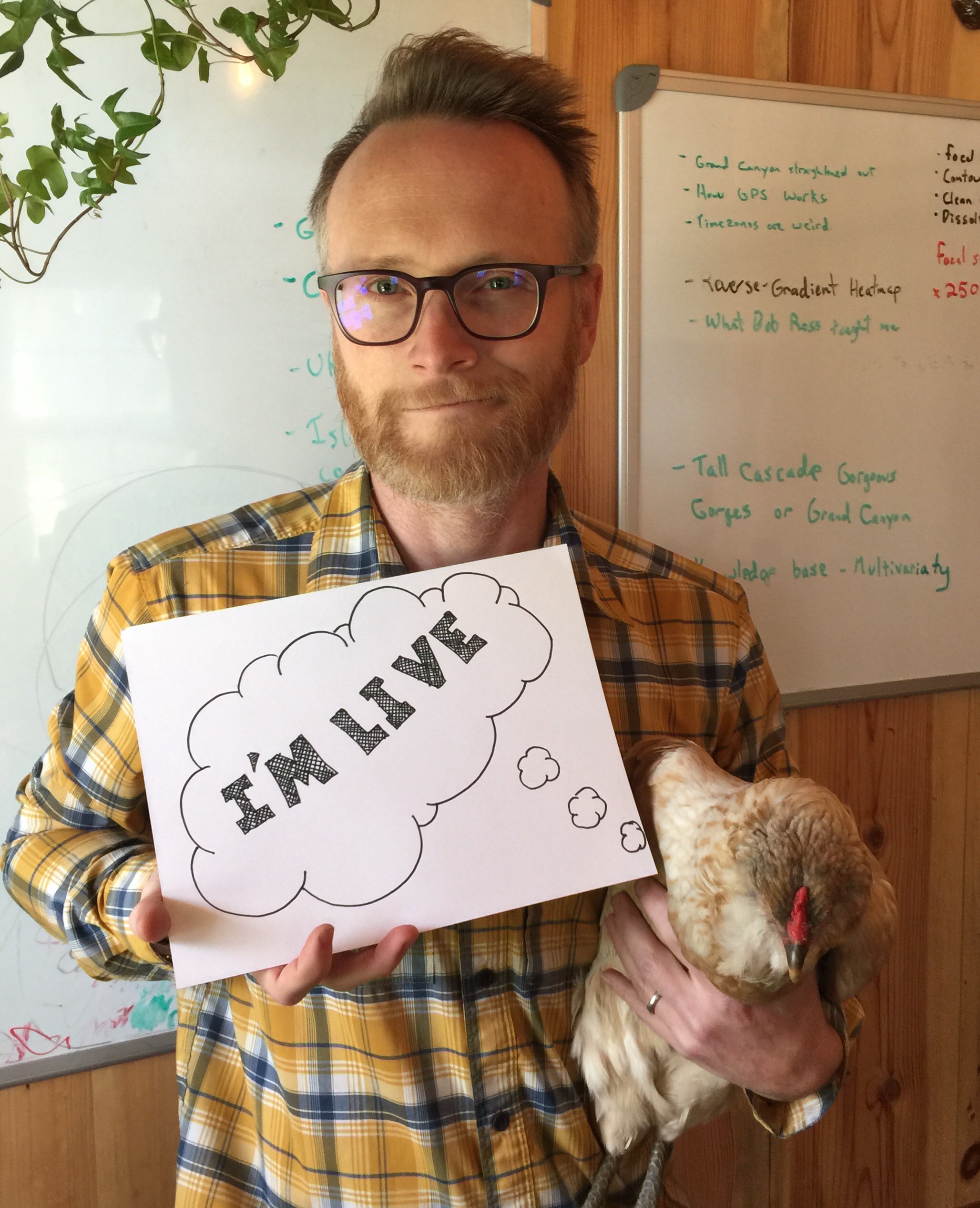 |  |
9:30 a.m. - And we're live! Go ahead and ask your questions!
9:45 a.m. - If you are just joining us, feel free to ask any question.
10:00 a.m. - We're halfway through, Great questions! Keep them coming!
10:15 a.m. - If you are just joining us, feel free to ask any question.
10:25 a.m. - Five minutes to go! Got any fun questions for our Guests?
10:30 a.m. - And that's a wrap! The live AMA has ended with our wonderful Cartography. MOOC Guests.
Thank you for your questions and participation.
The thread has shifted to a time-stamp view. To view the threads in their entirety, you can select the Actions above the right corner of the discussion thread and select View PDF.
- Mark as New
- Bookmark
- Subscribe
- Mute
- Subscribe to RSS Feed
- Permalink
- Report Inappropriate Content
It's impossible, Christian!
Sincerely, Kenneth.
- Mark as New
- Bookmark
- Subscribe
- Mute
- Subscribe to RSS Feed
- Permalink
- Report Inappropriate Content
Hi Christian,
Don't listen to John-In-Kens-Clothing.
You need to convert the GRID to point features, then use attribute-driven height with cube symbols. I can show you later. It can be a fun effect.

-Nathan.
- Mark as New
- Bookmark
- Subscribe
- Mute
- Subscribe to RSS Feed
- Permalink
- Report Inappropriate Content
Ok, it's not impossible. It's improbable.
Love, Ken.
- Mark as New
- Bookmark
- Subscribe
- Mute
- Subscribe to RSS Feed
- Permalink
- Report Inappropriate Content
THREE DEEEEE ECTOPLASM!!!!
- Mark as New
- Bookmark
- Subscribe
- Mute
- Subscribe to RSS Feed
- Permalink
- Report Inappropriate Content
Thanks Nathan I'll find you later. I knew Ken in any configuration couldn't be bothered with 3D gimmicks. But this is an actual good application: daytime vs nighttime population comparison that would look something like this terrible screenshot:
- Mark as New
- Bookmark
- Subscribe
- Mute
- Subscribe to RSS Feed
- Permalink
- Report Inappropriate Content
Hello,
After cartography lesson any community projects i can be part off and use the learning gained from this course ?
- Mark as New
- Bookmark
- Subscribe
- Mute
- Subscribe to RSS Feed
- Permalink
- Report Inappropriate Content
Hi Samaresh,
Thank you for asking. At this moment we do not have an answer. However, you are fairly new to GeoNet. I recommend becoming a more active member of the GeoNet Community and finding a group within the Community that may be offering the projects you are seeking that you can participate in or join. This will also open doors for networking with other GIS professionals within GeoNet.
- Mark as New
- Bookmark
- Subscribe
- Mute
- Subscribe to RSS Feed
- Permalink
- Report Inappropriate Content
Hi Candace,
Thanks a lot for the feedback .
- Mark as New
- Bookmark
- Subscribe
- Mute
- Subscribe to RSS Feed
- Permalink
- Report Inappropriate Content
Good Afternoon/Morning Everyone!
I want to first say, the class is awesome. I love learning more about Cartography and how to make even more beautiful maps with so many different techniques.
I currently work for Tipp City, Ohio and I have been here for about 3 years now and I make very basic maps (Utility, Zoning, etc...) and it honestly gets pretty boring sometimes. I do the same maps over and over again and I feel like I can do more but sometimes when I try, the people who need the maps, who have been here much longer than I have, don't like it (Stuck in their ways) and are basically wanting an Aerial Image with the layer they need on top of it. I would love to do more but feel limited by what data I have as well as who I am making the map for. Have to make simple maps that please my coworkers. With that being said, I only have a couple questions.
1: What is one way, or more, that I can help improve my day to day maps to make it feel less repetitive?
2: What kind of things can I do to help further my cartography skills to build my portfolio and to help in my future career adventures?
I would honestly love to get where you all are. I look at some of the maps you all have made and am simply in awe of them. The way you guys take so many different topics and make them into some of the most beautiful things I have ever seen. That is the reason I feel in love with geography and GIS in the first place, the love of beautiful maps that tell an amazing story. My wife laughs at me when I see one and try to talk to her about it. I mean she sees it but I think she just sees the first layer, where I look past that and try to see the story and the meaning behind it.
Thank you for making this MOOC and taking the time to answer questions.
Wil Begley
- Mark as New
- Bookmark
- Subscribe
- Mute
- Subscribe to RSS Feed
- Permalink
- Report Inappropriate Content
1: It's easy to get into a rut. I have been bigtime. Try a couple variant symbology options if you have data maps. Like instead of choropleth try dot density. Or graduated symbols. I've found that to be ridiculously helpful.
2: Same as bullet 1, really. Also, find makers whose work you admire and reach out to them for feedback on your map.