- Home
- :
- All Communities
- :
- Products
- :
- Mapping
- :
- Mapping Questions
- :
- Map Frame in ArcGIS Pro Question.
- Subscribe to RSS Feed
- Mark Topic as New
- Mark Topic as Read
- Float this Topic for Current User
- Bookmark
- Subscribe
- Mute
- Printer Friendly Page
Map Frame in ArcGIS Pro Question.
- Mark as New
- Bookmark
- Subscribe
- Mute
- Subscribe to RSS Feed
- Permalink
- Report Inappropriate Content
Okay on my last post about : Seeking datasets that has the degree, minutes and seconds world longitude and latitude
Now I am trying to make them into layers but I do have a question for you ...
So I have been working on setting it up the Grids in ArcMap 10.5.1 in the Layout and then I create two
grids apart for one is Latitude and the second one for Longitude ...
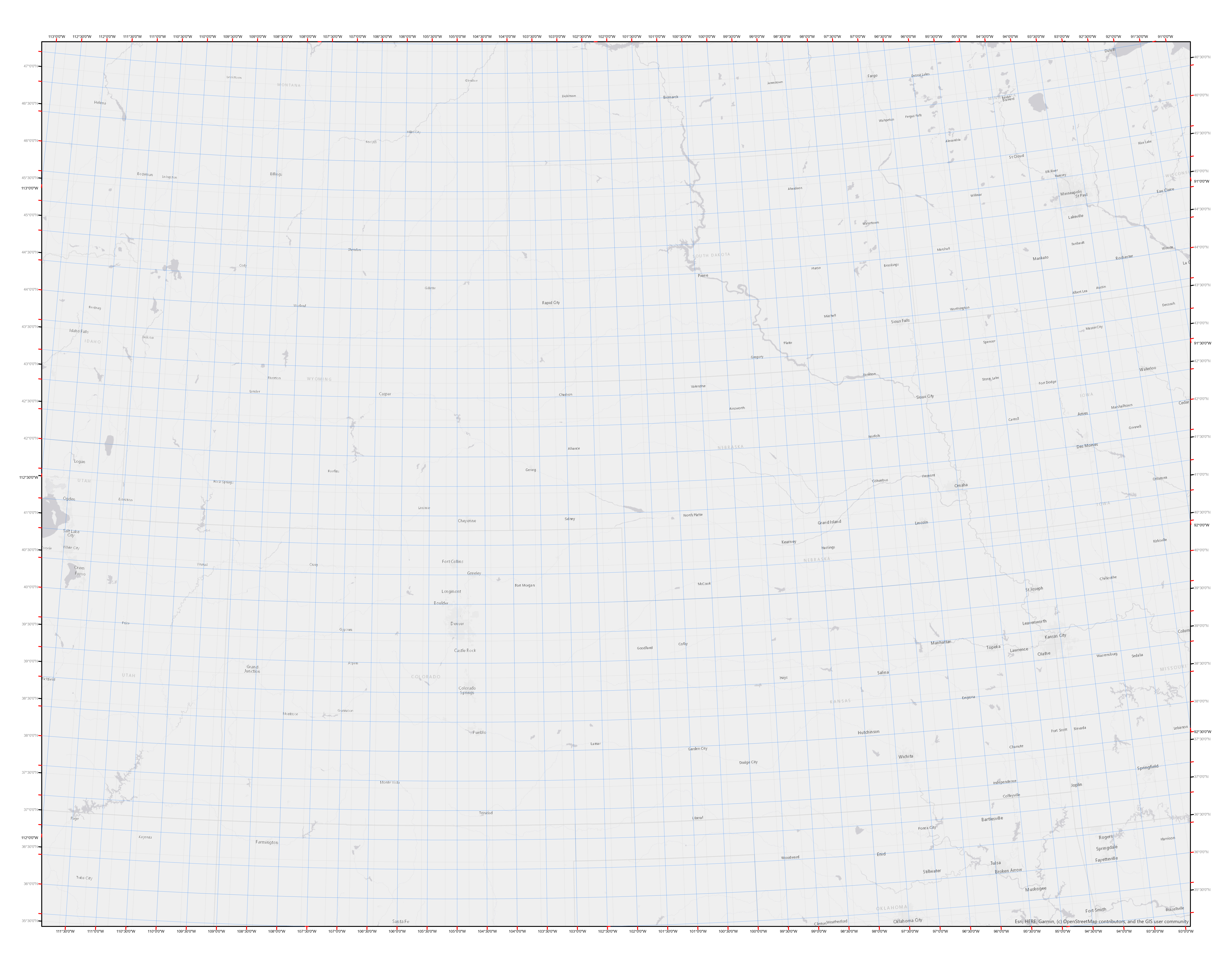
See picture and this is from ArcGIS Pro 2.4.1
Now I imported it from my MXD file into ArcGIS Pro and now it is currently in Map Frame...
Is there a way around for me to export them into lines ? I do know that I can convert it to Graphics but it doesn't dynamic so... I want to get some feedback from you .
So my question has anyone succeed convert it to Layer as a line ? I'd like to hear from you and I need that to work on my georeference .... anyone ??
- Mark as New
- Bookmark
- Subscribe
- Mute
- Subscribe to RSS Feed
- Permalink
- Report Inappropriate Content
Hi Robert,
Currently there is no way for you to create map features (layers) from a map grid. This is something we hope to get to sometime in the future.
Is there a particular reason you need these to be features in the map instead of an element on the map frame? What is the end product that you have in mind?
Thanks,
Tom
- Mark as New
- Bookmark
- Subscribe
- Mute
- Subscribe to RSS Feed
- Permalink
- Report Inappropriate Content
To use it for georeference a scanned map ...it has these a few latitude and Longtiude. I posted this similiar question a few weeks ago...
However, I found out that the DMS will have a lot of polygons to buld...so...that is one reason why I asked post this question and my Map Frame Question...
Thank you for your thoughts AND I think everyone would appreciate if this were to happen in the future.
- Mark as New
- Bookmark
- Subscribe
- Mute
- Subscribe to RSS Feed
- Permalink
- Report Inappropriate Content
Robert,
I'm still missing something. I'm not sure what a scanned map has to do with needing grid/grat features. Assuming that the scanned map has been geo-referenced correctly and that the spatial reference of the map containing this scanned image is correct I don't understand why using map frame grids would not not sufficient.
Why do they have to be features? What exactly do you want from grid/grat features that you do not get from the map frame grid?
Thanks,
Tom
- Mark as New
- Bookmark
- Subscribe
- Mute
- Subscribe to RSS Feed
- Permalink
- Report Inappropriate Content
The scanned map is very old and dated in 1898 done by USGS.
And my question to you is why not have these in as a layers ? It seem like we have an open data with so many out there that shoud be avaiable to the public if you know what I mean ?
- Mark as New
- Bookmark
- Subscribe
- Mute
- Subscribe to RSS Feed
- Permalink
- Report Inappropriate Content
In most cases tick marks and labels for grid/graticules are drawn outside of the geographic bounds of the map (map frame). This is a major reason they are properties of a map frame and not features within the map.
The 2 main uses cases that I'm aware of that would require the grid/graticule to be features within the map are:
1. You are publishing the map to a web service (and the map viewer does not support grids/graticules like Pro does)
2. You want to draw some features above the grid/graticule
If you are not doing any of these you might find that Map Frame grids can support the result you want. For more information on grids and graticules please see Grids and graticules—Layouts | ArcGIS Desktop.
Tom
- Mark as New
- Bookmark
- Subscribe
- Mute
- Subscribe to RSS Feed
- Permalink
- Report Inappropriate Content
Ahhhh.. I see.. Thank you for your reply. Yeah the ticks and labels are outside and not featuers...
I will probably have to step back and try it again..
- Mark as New
- Bookmark
- Subscribe
- Mute
- Subscribe to RSS Feed
- Permalink
- Report Inappropriate Content
Robert,
Glad to help. Let us know if you run into a road block using the map frame grids.
Tom