Turn on suggestions
Auto-suggest helps you quickly narrow down your search results by suggesting possible matches as you type.
Cancel
- Home
- :
- All Communities
- :
- Products
- :
- Mapping
- :
- Mapping Questions
- :
- Question about data representation
Options
- Subscribe to RSS Feed
- Mark Topic as New
- Mark Topic as Read
- Float this Topic for Current User
- Bookmark
- Subscribe
- Mute
- Printer Friendly Page
Question about data representation
Subscribe
684
0
11-23-2016 06:44 AM
11-23-2016
06:44 AM
- Mark as New
- Bookmark
- Subscribe
- Mute
- Subscribe to RSS Feed
- Permalink
- Report Inappropriate Content
Hi,
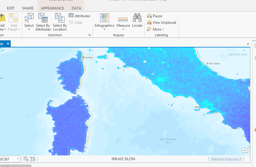
I have a problem concerning a raster dataset about ground-level particulate matter (see here: http://fizz.phys.dal.ca/~atmos/martin/?page_id=140). When I download the .nc file (NetCDF) I am able to import it with the „Make NetCDF Raster Layer“ toolbox command. But the data displays too much (several kilometers) on the left (see picture). Both layers (data layer and the map) use the WGS1984 coordinate system. What could be the problem or how is it possible to fix it?
Thank you for your help.
Best regards!
0 Replies