- Home
- :
- All Communities
- :
- Developers
- :
- JavaScript Maps SDK
- :
- JavaScript Maps SDK Questions
- :
- Error in printing Buffer with parcels highlighted ...
- Subscribe to RSS Feed
- Mark Topic as New
- Mark Topic as Read
- Float this Topic for Current User
- Bookmark
- Subscribe
- Mute
- Printer Friendly Page
Error in printing Buffer with parcels highlighted in graphics layer
- Mark as New
- Bookmark
- Subscribe
- Mute
- Subscribe to RSS Feed
- Permalink
- Report Inappropriate Content
I was hoping someone could help us with a. Our current software version is ArcGIS Server 10.1 and we are using the ESRI JavaScript 3.6 API.
We have two major issues 1) printing text symbol graphics when exporting a map and 2) we get an error in printing when we buffer a parcel and trying to print all the highlighting graphics layer to a map.
1) Text Issue: When printing a map with graphic text symbols the graphic is not captured there for it will not display on the printed map.
We are not seeing any error issues it just appears that the graphic is not being captured.
2) Buffering issue: We get an error in printing when we buffer a parcel and trying to print all the highlighting graphics layer to a map.
Error message: JS ??? Error:
"Error executing tool.: Layer "map_graphics": Invalid r value in color: 0.
Layer "map_graphics": Invalid r value in color: 0.
Layer "map_graphics": Invalid r value in color: 0.
Layer "map_graphics": Invalid r value in color: 0.
Layer "map_graphics": Invalid r value in color: 0.
Layer "map_graphics": Invalid r value in color: 0.
Layer "map_graphics": Invalid r value in color: 0.
Layer "map_graphics": Invalid r value in color: 0.
Failed to execute (Export Web Map).
Failed to execute (Export Web Map Task)."
Print Task Snippet:
//CREATE PRINT TEMPLATE
var template = new esri.tasks.PrintTemplate();
template.exportOptions = {
width: 530,
height: 620,
dpi: 96
};
template.format = "jpg"; // pdf | png32 | png8 | jpg | gif | eps | svg | svgz ;
template.layout = "MAP_ONLY";
template.preserveScale = true;
template.showAttribution = false;
//CREATE PRINT PARAMS
var params = new esri.tasks.PrintParameters();
params.map = pMap;
params.template = template;
//EXECUTE PRINT
if (printTask) {
printTask.execute(params, getMapImageForPDFResult, getMapImageForPDFError);
}
JS ??? Error:
"Error executing tool.: Layer "map_graphics": Invalid r value in color: 0.
Layer "map_graphics": Invalid r value in color: 0.
Layer "map_graphics": Invalid r value in color: 0.
Layer "map_graphics": Invalid r value in color: 0.
Layer "map_graphics": Invalid r value in color: 0.
Layer "map_graphics": Invalid r value in color: 0.
Layer "map_graphics": Invalid r value in color: 0.
Layer "map_graphics": Invalid r value in color: 0.
Failed to execute (Export Web Map).
Failed to execute (Export Web Map Task)."
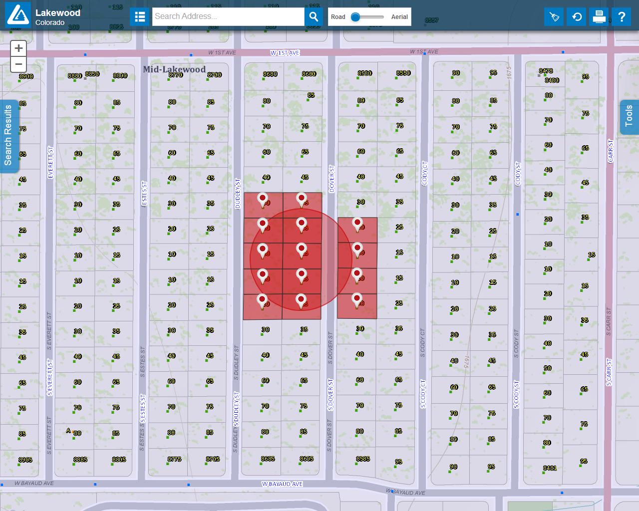
[ATTACH=CONFIG]28882[/ATTACH]
Solved! Go to Solution.
Accepted Solutions
- Mark as New
- Bookmark
- Subscribe
- Mute
- Subscribe to RSS Feed
- Permalink
- Report Inappropriate Content
Actually. All it prints is the base map. The dynamic map service contents also render fine but don't show up in the PDF. the dynamic map service layer doesn't generate any errors though.
Of note. Zero is not an invalid red value.
Heh. As always. as soon as I post I fix it. Well. The error message anyway. If you pass something like "#ffffff" it will render ok but not print. For printing to work you need to use dojo.Color("#ffffff").
- Mark as New
- Bookmark
- Subscribe
- Mute
- Subscribe to RSS Feed
- Permalink
- Report Inappropriate Content
Due to some issues with the PrintTask, the best suggestion I can give to you is to save each type of graphics into a separate graphics layer. Basically, one layer for points, one layer for text graphics, one layer for lines and one for polygons. Refer to this thread for some details.
- Mark as New
- Bookmark
- Subscribe
- Mute
- Subscribe to RSS Feed
- Permalink
- Report Inappropriate Content
Actually. All it prints is the base map. The dynamic map service contents also render fine but don't show up in the PDF. the dynamic map service layer doesn't generate any errors though.
Of note. Zero is not an invalid red value.
Heh. As always. as soon as I post I fix it. Well. The error message anyway. If you pass something like "#ffffff" it will render ok but not print. For printing to work you need to use dojo.Color("#ffffff").
- Mark as New
- Bookmark
- Subscribe
- Mute
- Subscribe to RSS Feed
- Permalink
- Report Inappropriate Content
Steven White seems to have the correct answer.
I had the same problem printing graphics layers (and feature layers) that had graphics assigned using RGB colors.
I wanted to use RGB so I could set an alpha value to the graphic.
As a work around I set the colors using hexadecimal color and just set an opacity value on the graphics layer and / or feature layer.
- Mark as New
- Bookmark
- Subscribe
- Mute
- Subscribe to RSS Feed
- Permalink
- Report Inappropriate Content
Thank you for posting this issue.
I just hit the same issue with Portal for ArcGIS 10.5
Do you know a fix for it?
- Mark as New
- Bookmark
- Subscribe
- Mute
- Subscribe to RSS Feed
- Permalink
- Report Inappropriate Content
I opened a case with ESRI support for this 10.5 issue.
- Mark as New
- Bookmark
- Subscribe
- Mute
- Subscribe to RSS Feed
- Permalink
- Report Inappropriate Content
Did you get a solution from Esri? I just ran into the same problem running Portal 10.5.
- Mark as New
- Bookmark
- Subscribe
- Mute
- Subscribe to RSS Feed
- Permalink
- Report Inappropriate Content
Hi Jason,
[BUG-000104266 : Unable to Print when including graphical layer generated from Incident Analysis Widget in Portal 10.5 Web AppBuilder]
Hopefully it gets fixed in 10.5.1
-Bill