Turn on suggestions
Auto-suggest helps you quickly narrow down your search results by suggesting possible matches as you type.
Cancel
- Home
- :
- All Communities
- :
- User Groups
- :
- Esri Forestry Group (EFG)
- :
- Questions
- :
- Just Launched: USFWS Building a More Resilient Atl...
Options
- Subscribe to RSS Feed
- Mark Topic as New
- Mark Topic as Read
- Float this Topic for Current User
- Bookmark
- Subscribe
- Mute
- Printer Friendly Page
Just Launched: USFWS Building a More Resilient Atlantic Coast Story Map
Subscribe
2002
0
10-28-2014 09:10 AM
10-28-2014
09:10 AM
- Mark as New
- Bookmark
- Subscribe
- Mute
- Subscribe to RSS Feed
- Permalink
- Report Inappropriate Content
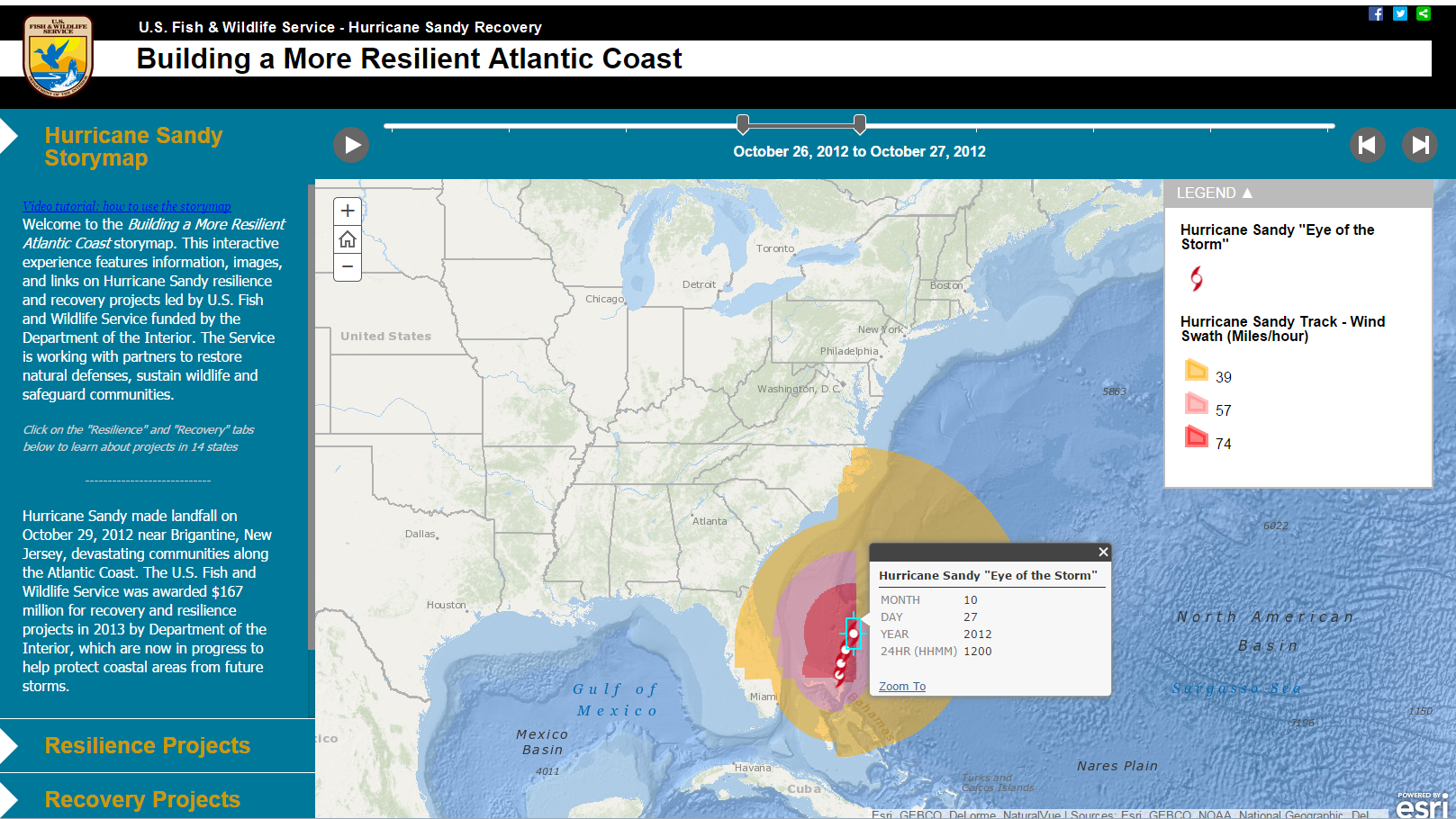
The US Fish and Wildlife Service just released a new story map covering Hurricane Sandy Recovery, "Building a More Resilient Atlantic Coast". This interactive experience features information, images, and links on Hurricane Sandy resilience and recovery projects led by U.S. Fish and Wildlife Service funded by the Department of the Interior. USFWS is working with partners to restore natural defenses, sustain wildlife and safeguard communities. View the story map here: Storytelling by USFWS
0 Replies