- Home
- :
- All Communities
- :
- Products
- :
- 3D
- :
- 3D Questions
- :
- Arcscene elevation problem
- Subscribe to RSS Feed
- Mark Topic as New
- Mark Topic as Read
- Float this Topic for Current User
- Bookmark
- Subscribe
- Mute
- Printer Friendly Page
Arcscene elevation problem
- Mark as New
- Bookmark
- Subscribe
- Mute
- Subscribe to RSS Feed
- Permalink
- Report Inappropriate Content
Hi all,
I don't know if anybody has met with the same problem, but it is quite frustrating. As you can see in the picture I have a shapefile with the specific territory and the settlements which have the same custom surface. However, the settlements are levitate randomly (at least for me). I didn't set up any elevation offset or elevation value. The settlement feature class has no Z values. Does anyone know a solution for this?
Thanks!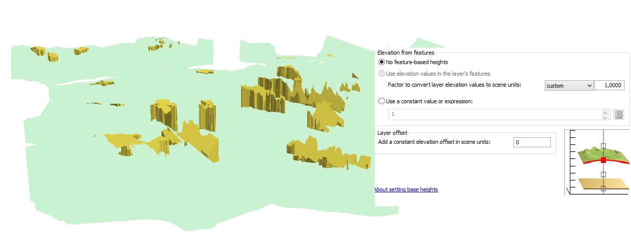
- Mark as New
- Bookmark
- Subscribe
- Mute
- Subscribe to RSS Feed
- Permalink
- Report Inappropriate Content
I believe it is a multipatch feature class.
Right click on the layer > layer properties > Source > Data Source > Geometry Type = Multipatch
or
Could you please check if extrusion is applied on this layer?
Right click on the layer > layer properties > Extrusion > uncheck Extrude feature in layer option.
Hope this is help
Kishor
- Mark as New
- Bookmark
- Subscribe
- Mute
- Subscribe to RSS Feed
- Permalink
- Report Inappropriate Content
I found out that the problem is basically that the settlements fit better to the custom surface than the shapefile with the specific territory. I tried to change the raster resolution, but nothing changed... Any suggestion?