- Home
- :
- All Communities
- :
- Products
- :
- Mapping and Charting Solutions
- :
- Mapping and Charting Questions
- :
- Cartography / Mapping - symbol for partial city or...
- Subscribe to RSS Feed
- Mark Topic as New
- Mark Topic as Read
- Float this Topic for Current User
- Bookmark
- Subscribe
- Mute
- Printer Friendly Page
Cartography / Mapping - symbol for partial city or county boundary?
- Mark as New
- Bookmark
- Subscribe
- Mute
- Subscribe to RSS Feed
- Permalink
- Report Inappropriate Content
I am trying to find out if there is a standard cartographic or mapping symbol that should be used when only part of a jurisdiction (part of a city or part of a county) is shown. What happens at the 'edge of the map' if it doesn't extend to the entire city or county? What type of line symbolizes that it is an arbitrary stopping point, rather than an official boundary line?
- Mark as New
- Bookmark
- Subscribe
- Mute
- Subscribe to RSS Feed
- Permalink
- Report Inappropriate Content
Can you provide an example of how this might be ambiguous? I'm looking around my office at several maps that cut off some jurisdiction part way. For example, a map of Canada that cuts off the US about halfway. There is no label stating, "This straight line is the bottom of the map. The US actually continues farther south." I guess they are just hoping that the map reader has the sense to know that the world doesn't end at the bottom of the map.
- Mark as New
- Bookmark
- Subscribe
- Mute
- Subscribe to RSS Feed
- Permalink
- Report Inappropriate Content
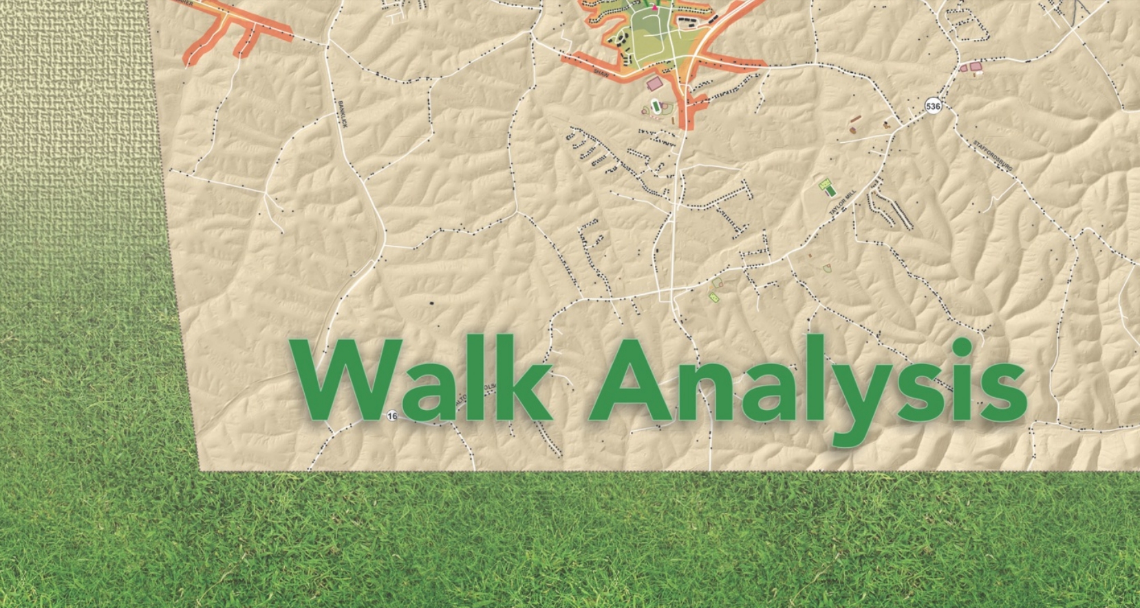
The following image shows the "bottom" of the map, but that is not the county boundary, it's just the southern-most extent of the map. Sort of a "best fit". The dashed line on the bottom/south is not actually a boundary. Just an arbitrary stopping point. I'm thinking there is a specific symbology or design element to use there which is more universally accepted.
- Mark as New
- Bookmark
- Subscribe
- Mute
- Subscribe to RSS Feed
- Permalink
- Report Inappropriate Content
I'll just say, "no", but I'm not really one to spend much time looking for standard ways to do things. I spend all day looking at maps, so if I don't know "the standard way to symbolize" something, how would a general map reader know? Do something that makes sense to you. Show it to someone else. Does it make sense to them? If so, it's probably just fine.
With that said, there just may be a stickler out there that knows how you're "supposed" to do this.
- Mark as New
- Bookmark
- Subscribe
- Mute
- Subscribe to RSS Feed
- Permalink
- Report Inappropriate Content
I think the last sentence is the key one! Our executive director seems to remember that there was a standard way that one is "supposed" to do this. Not a stickler, but very detail-oriented. I'm intrigued myself now! I initially thought a simple google search would get me the answer, but so far it has not.
- Mark as New
- Bookmark
- Subscribe
- Mute
- Subscribe to RSS Feed
- Permalink
- Report Inappropriate Content
An alternative approach, if I may:
Add an inset map (locator map) which shows the County, then use the frame in it to show the extent of your main view. This will provide your viewers with a context of where your main view depicts.
Using extent indicators to enhance overview or locator maps—Help | ArcGIS for Desktop
So, on the nuts and bolts side, in ArcMap, 2 Data Frames, with an Extent Indicator set up on one showing the extent of the other.
Chris Donohue, GISP
- Mark as New
- Bookmark
- Subscribe
- Mute
- Subscribe to RSS Feed
- Permalink
- Report Inappropriate Content
I appreciate the idea of a locator map (which I have used in the past), but for this map I've been challenged to see if there is a more standard symbology to accomplish the task! I'm also curious myself now. Thanks!