- Home
- :
- All Communities
- :
- User Groups
- :
- ArcGIS Desktop Installation Support
- :
- Questions
- :
- when i import XY data from excel, i cant see point...
- Subscribe to RSS Feed
- Mark Topic as New
- Mark Topic as Read
- Float this Topic for Current User
- Bookmark
- Subscribe
- Mute
- Printer Friendly Page
when i import XY data from excel, i cant see points on the shape file
- Mark as New
- Bookmark
- Subscribe
- Mute
- Subscribe to RSS Feed
- Permalink
- Report Inappropriate Content
when i import XY data from excel, i cant see points on the shape file
Solved! Go to Solution.
Accepted Solutions
- Mark as New
- Bookmark
- Subscribe
- Mute
- Subscribe to RSS Feed
- Permalink
- Report Inappropriate Content
Then the points layer does not have a defined coordinate system, or it has been defined incorrectly when using the Define Projection tool Define Projection—Help | ArcGIS for Desktop
If the XY coordinates in the spreadsheet were in the range of plausible values for longitude (-180 to 180 degrees) and latitude ( -90 to 90 degrees), then it should have been given a geographic coordinate system with an appropriate datum. The most widely use being the GCS WGS84, which is the default for coordinates derived from GPS data.
Often, people want the coordinates to be in a projected coordinate system (eg. a UTM projection) so they use the Define Projection tool to 'define' it as such. That doesn't 'make it so' to quote Jean Luc Picard. It just fouls things up. It must be 'defined' correctly, BEFORE it can be changed into a new coordinate system using the Project tool Project—Help | ArcGIS for Desktop
Steps in workflow are important... articulate exactly what you did to arrive at your situation should the above not provide a solution
- Mark as New
- Bookmark
- Subscribe
- Mute
- Subscribe to RSS Feed
- Permalink
- Report Inappropriate Content
Make sure there is no space in the X/Y fields of the Excel Sheet. Also do not use any special character for the Attribute Name except underscore.
Think Location
- Mark as New
- Bookmark
- Subscribe
- Mute
- Subscribe to RSS Feed
- Permalink
- Report Inappropriate Content
Presumably you did something like this... Adding x,y coordinate data as a layer—Help | ArcGIS for Desktop
If you can't see the points in the shapefile's table, then... Add XY Coordinates—Help | ArcGIS for Desktop
If you can't see them in the dataframe, then the coordinate system has not been defined, or it has been defined incorrectly, hence, you need to do this... Define Projection—Help | ArcGIS for Desktop
- Mark as New
- Bookmark
- Subscribe
- Mute
- Subscribe to RSS Feed
- Permalink
- Report Inappropriate Content
- Mark as New
- Bookmark
- Subscribe
- Mute
- Subscribe to RSS Feed
- Permalink
- Report Inappropriate Content
Zoom to full extent... are the points elsewhere on the screen? (then the coordinate system is defined wrong)
Calculate the coordinates in the table as per the above. (are there valid coordinates in the table)
report on your findings.
- Mark as New
- Bookmark
- Subscribe
- Mute
- Subscribe to RSS Feed
- Permalink
- Report Inappropriate Content
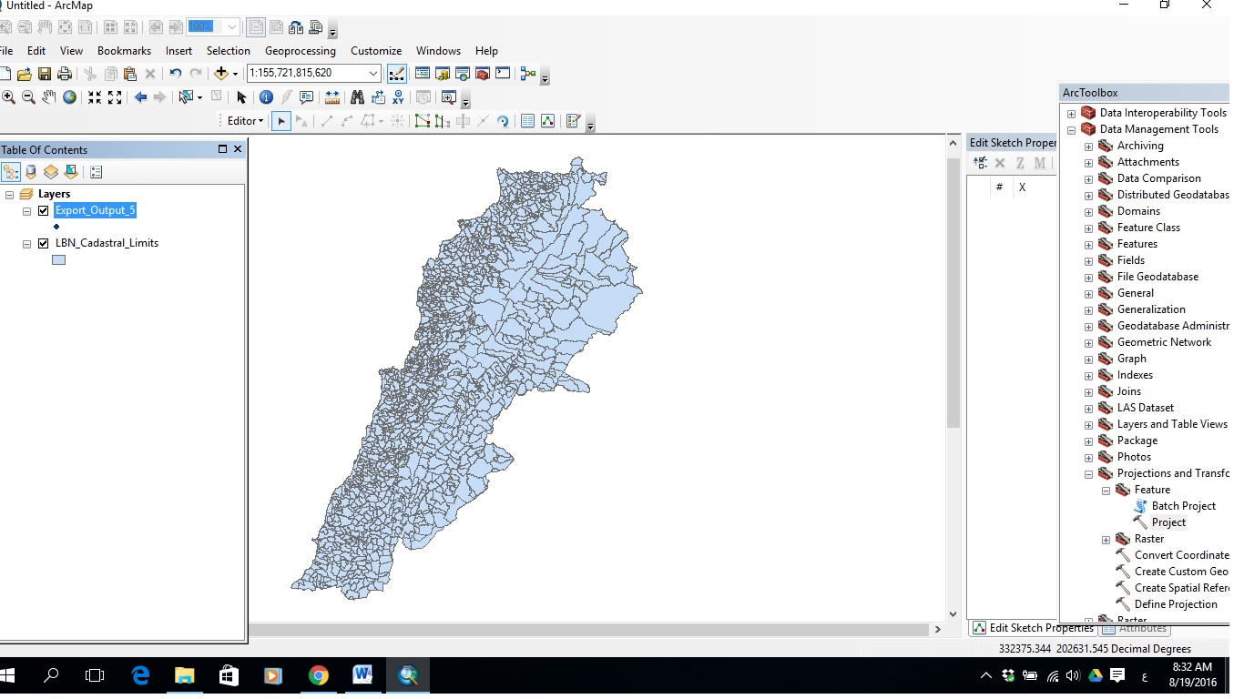
if i check layer with points, i can see just my points,
if i check map layer, i can see just map layer
Sent with MailTrack
<https://mailtrack.io/install?source=signature&lang=en&referral=whabari@gmail.com&idSignature=22>
- Mark as New
- Bookmark
- Subscribe
- Mute
- Subscribe to RSS Feed
- Permalink
- Report Inappropriate Content
Then the points layer does not have a defined coordinate system, or it has been defined incorrectly when using the Define Projection tool Define Projection—Help | ArcGIS for Desktop
If the XY coordinates in the spreadsheet were in the range of plausible values for longitude (-180 to 180 degrees) and latitude ( -90 to 90 degrees), then it should have been given a geographic coordinate system with an appropriate datum. The most widely use being the GCS WGS84, which is the default for coordinates derived from GPS data.
Often, people want the coordinates to be in a projected coordinate system (eg. a UTM projection) so they use the Define Projection tool to 'define' it as such. That doesn't 'make it so' to quote Jean Luc Picard. It just fouls things up. It must be 'defined' correctly, BEFORE it can be changed into a new coordinate system using the Project tool Project—Help | ArcGIS for Desktop
Steps in workflow are important... articulate exactly what you did to arrive at your situation should the above not provide a solution
- Mark as New
- Bookmark
- Subscribe
- Mute
- Subscribe to RSS Feed
- Permalink
- Report Inappropriate Content
Thnx a lot for ur valuable help
Sent with MailTrack
<https://mailtrack.io/install?source=signature&lang=en&referral=whabari@gmail.com&idSignature=22>
- Mark as New
- Bookmark
- Subscribe
- Mute
- Subscribe to RSS Feed
- Permalink
- Report Inappropriate Content
You may wish to close this thread by marking the post that provided the correct answer then to ensure that others know there was a resolution and which answers were helpful and/or correct.