Turn on suggestions
Auto-suggest helps you quickly narrow down your search results by suggesting possible matches as you type.
Cancel
- Home
- :
- All Communities
- :
- Industries
- :
- Transportation
- :
- Roads and Highways
- :
- Roads and Highways Questions
- :
- CAD/GIS Webinar Qs: 7) Could you talk about how so...
Options
- Subscribe to RSS Feed
- Mark Topic as New
- Mark Topic as Read
- Float this Topic for Current User
- Bookmark
- Subscribe
- Mute
- Printer Friendly Page
CAD/GIS Webinar Qs: 7) Could you talk about how some of the processes you showed could be integrated with Roads and Highways and the Roadway Characteristics Editor?
Subscribe
775
1
10-03-2016 12:23 PM
10-03-2016
12:23 PM
- Mark as New
- Bookmark
- Subscribe
- Mute
- Subscribe to RSS Feed
- Permalink
- Report Inappropriate Content
1 Reply
10-03-2016
02:36 PM
- Mark as New
- Bookmark
- Subscribe
- Mute
- Subscribe to RSS Feed
- Permalink
- Report Inappropriate Content
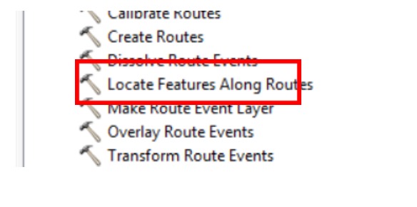
- Any of the features converted from CAD could be turned into events. For example, Culverts were converted from CAD to a Geodatabase Feature Class. Once converted they could be passed into Locate Features Along Route Geoprocessing tool to acquire route and measure information and loaded into a Culverts Event Layer.
- In addition the converted culverts could be loaded into Roadway Characteristics Editor as a redline feature and converted to an event as well.
- Or I could directly load the CAD file into Roadway Characteristics Editor and place the culverts as events based on an overlaid CAD file.
Eric J. Rodenberg | Solution Engineer Transportation Practice
Esri | 7775 Walton Pkwy, Suite 270 | New Albany, Ohio 43054-8202 | USA
T 614-933-8698, ext. 5503 | erodenberg@esri.com | esri.com
Esri | 7775 Walton Pkwy, Suite 270 | New Albany, Ohio 43054-8202 | USA
T 614-933-8698, ext. 5503 | erodenberg@esri.com | esri.com