- Home
- :
- All Communities
- :
- Products
- :
- 3D
- :
- 3D Mapping Questions
- :
- DEM base with other layer
- Subscribe to RSS Feed
- Mark Topic as New
- Mark Topic as Read
- Float this Topic for Current User
- Bookmark
- Subscribe
- Mute
- Printer Friendly Page
DEM base with other layer
- Mark as New
- Bookmark
- Subscribe
- Mute
- Subscribe to RSS Feed
- Permalink
- Report Inappropriate Content
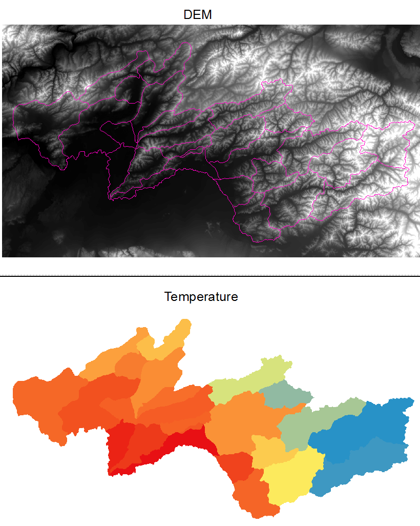
I would like to use a DEM as a base layer and then display temperature data over the DEM. So the DEM would allow the user to see changes in elevation and then another temperature layer, which could be a polygon or raster, is displayed with continuous colors from cold to warm. Is this possible? I have looked at ArcScene using a DEM as Base Heights but then the DEM is on top of everything. So at this point I do not know what keywords to use to search for what I am trying to do. I thought maybe a mosaic dataset, but that did not turn out quite right. Can somebody let me know if there is a tool or name for what I am trying to do and then I can see if there are tutorials or a book I can get? I have attached an example of the two layers. Temperature can be a polygon or raster.
- Mark as New
- Bookmark
- Subscribe
- Mute
- Subscribe to RSS Feed
- Permalink
- Report Inappropriate Content
Are you looking to do this in 2D (ArcMap) or 3D (ArcScene or ArcGIS Pro)? If ArcMap, add the two layers to the Data Frame with the DEM the bottom layer. You could create a Hillshade (Spatial Analyst extension) from the DEM for shaded relief. Then add the temperature layer on top of the Hillshade and set a transparency of say 40%.
- Mark as New
- Bookmark
- Subscribe
- Mute
- Subscribe to RSS Feed
- Permalink
- Report Inappropriate Content
In ArcScene, this link will help: Fundamentals of displaying surfaces in 3D—Help | ArcGIS for Desktop
You don't have to display your DEM to use the DEM as Elevation data for you vector layer, using the option "Floating on a custom surface":

- Mark as New
- Bookmark
- Subscribe
- Mute
- Subscribe to RSS Feed
- Permalink
- Report Inappropriate Content
That works too and I like that I can lay it flat and see the colder areas are greater in elevation. I will have to investigate why I do not get the option to check "Use elevation values in the layer's features". Thank you this is really powerful.
- Mark as New
- Bookmark
- Subscribe
- Mute
- Subscribe to RSS Feed
- Permalink
- Report Inappropriate Content
I am trying both, but what you suggested works fairly well. Thank you!