- Home
- :
- All Communities
- :
- Products
- :
- ArcGIS Drone2Map
- :
- ArcGIS Drone2Map Questions
- :
- Drone2Map and NDVI modified lens
- Subscribe to RSS Feed
- Mark Topic as New
- Mark Topic as Read
- Float this Topic for Current User
- Bookmark
- Subscribe
- Mute
- Printer Friendly Page
Drone2Map and NDVI modified lens
- Mark as New
- Bookmark
- Subscribe
- Mute
- Subscribe to RSS Feed
- Permalink
- Report Inappropriate Content
Hi,
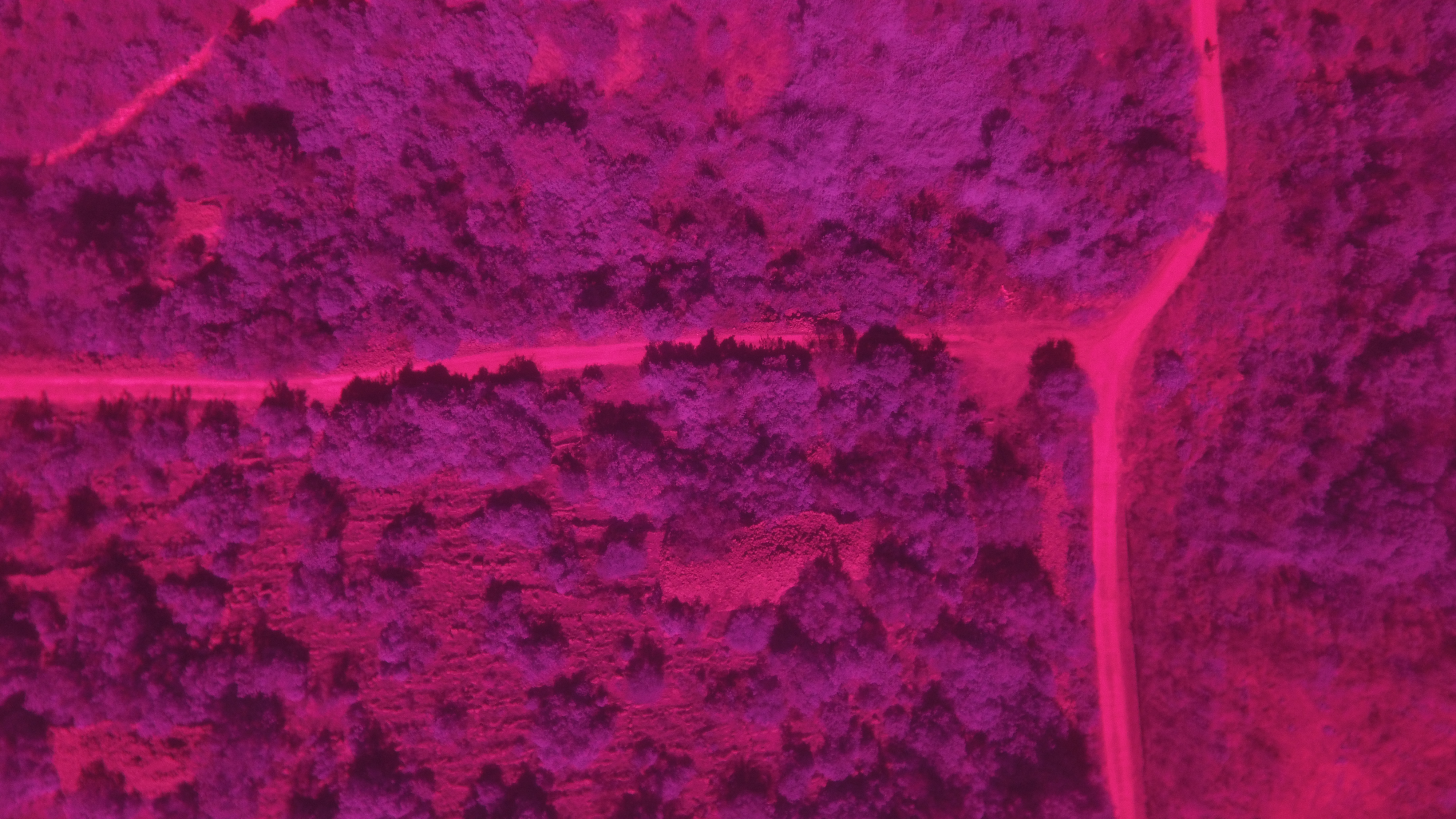
I have a DJI Phantom 3 Professional drone with a NDVI modified lens from Peau Productions. It records in Red (660nm) and Near Infrared ( 850nm).
When I import the pictures into Drone2Map, under Processing option - Orthomosaic and DSM the NDVI option is not clickable.
The User manual states that it means that there is no infrared band eg that the SW does not recognize infrared in the taken pictures.
This is strange, because in SW like Pix4D you can manually set the wave lenght for RGB and NIR.
Is there any solution to this? This is a standard picture taken with my system.
Not to mention that I plan to purchase a professional drone with a professional camera, but nothing guarantees that it will work with your software. And the client of mine needs ESRI based SW.
Thnx in advance,
Dario F.
- Mark as New
- Bookmark
- Subscribe
- Mute
- Subscribe to RSS Feed
- Permalink
- Report Inappropriate Content
Dario, it looks like there is a nearly identical post here: https://community.esri.com/thread/181020 where the user has a DJI Phantom. You could contact Tony Mason to see what the discovery was in that case.
Hope this helps!
- Mark as New
- Bookmark
- Subscribe
- Mute
- Subscribe to RSS Feed
- Permalink
- Report Inappropriate Content
Dario,
In order for the NDVI output to become active we need to be able to match your camera with a model in the database. I’m guessing this is not happening because it’s a custom camera.
Is it possible for you to share some of your imagery with us? This is something we would like to fix in the upcoming release, and having some of your sample data would be very helpful.
Thanks
Tony
- Mark as New
- Bookmark
- Subscribe
- Mute
- Subscribe to RSS Feed
- Permalink
- Report Inappropriate Content
Tony,
thanks for your efforts and of course I will share.
Here's a link to Google Disc with a compressed file with one complete flight (cca 1Gb) and 2 sample files (same but one is JPEG and the other is DNG):
So please download it and hopefully you will have a solution 'till the next Drone2Map update.
Just to say, I work with an ESRI company and your positive solution wolud be most welcome.
All the best,
Dario F.
- Mark as New
- Bookmark
- Subscribe
- Mute
- Subscribe to RSS Feed
- Permalink
- Report Inappropriate Content
Dario,
As I suspected the camera database is not picking up that modifications have been made to the camera. The bands are showing up as "Red", "Green", and "Blue".
Unfortunately there is nothing that can be done in the current release to change this. We are however exposing additional functionality in the next release that will allow you to select the bands to be used in the NDVI processing.
Thanks
Tony
- Mark as New
- Bookmark
- Subscribe
- Mute
- Subscribe to RSS Feed
- Permalink
- Report Inappropriate Content
Tony,
that would be great!
Perhaps you could implemet a fuction that allows the user to customize the bands - if not recognized by the SW. That would prevent future NDVI modified camera pictures not to be recognized.
And, at last, could you give me a hint about the supposed update release datre?
Thanks,
Dario F.