- Home
- :
- All Communities
- :
- User Groups
- :
- Cartography and Maps
- :
- Questions
- :
- Create tourist map in ArcGIS
- Subscribe to RSS Feed
- Mark Topic as New
- Mark Topic as Read
- Float this Topic for Current User
- Bookmark
- Subscribe
- Mute
- Printer Friendly Page
- Mark as New
- Bookmark
- Subscribe
- Mute
- Subscribe to RSS Feed
- Permalink
- Report Inappropriate Content
I want to create a tourist map of one part of the city. On the map should be displayed especially monuments with some cartoon style or something similar (for example if that is a church than should be a 3D icon of that church).
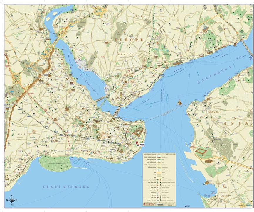
In attachment I have an example of that what I need. Is there any way to do this in ArcGIS and if it is possible than how to do that?
Thanks in advance.
Solved! Go to Solution.
Accepted Solutions
- Mark as New
- Bookmark
- Subscribe
- Mute
- Subscribe to RSS Feed
- Permalink
- Report Inappropriate Content
Create a perfect map for your city.
then you can put 3d symbols. as the following.
1- prepare all your city symbols as PNG Picture.
2- create point feature class. and draw one point on monument.
3-make your symbology as a category using any unique Field such as (name of monument) for make unique symbol for each point. and add all values.
4- fill your symbology with the PNG Picture as in following picture.