- Home
- :
- All Communities
- :
- User Groups
- :
- Coordinate Reference Systems
- :
- Questions
- :
- Albers Conic Projection with SIRGAS2000 datum
- Subscribe to RSS Feed
- Mark Topic as New
- Mark Topic as Read
- Float this Topic for Current User
- Bookmark
- Subscribe
- Mute
- Printer Friendly Page
Albers Conic Projection with SIRGAS2000 datum
- Mark as New
- Bookmark
- Subscribe
- Mute
- Subscribe to RSS Feed
- Permalink
- Report Inappropriate Content
Hi,
I need to use a Albers Conic Projection in my files, but in ArcGIS I only found this type of projection associated with a South American 69 (SAD69) datum (Projected Coordinate System --> Continental --> South America --> South_America_Albers_Equal_Area_Conic). Is there an ArcGIS .prj file with Albers Conic Projection and SIRGAS2000? How can I find it?
Thanks,
Pasqualotto.
- Mark as New
- Bookmark
- Subscribe
- Mute
- Subscribe to RSS Feed
- Permalink
- Report Inappropriate Content
any specific locale? http://www.spatialreference.org/ref/?search=albers+sirgas+2000
web search or search with the coordinate systems on SIRGAS yields some geographic and you can explore the other options.
PS you marked the question Assumed Answered... so you either found your answer already or mistakenly did so. It will unlikely attract more attention if this was done in error
- Mark as New
- Bookmark
- Subscribe
- Mute
- Subscribe to RSS Feed
- Permalink
- Report Inappropriate Content
Ops... It was not my intention. When a answered "yes" for the question "Nobady has this question?" (or some question like that) I thought that I was saying "Yes, I have searched in this forum and I'm sure my doubt is new". Sorry for my mistake, but it's my first post here. Do you know how can I change it for getting more attention?
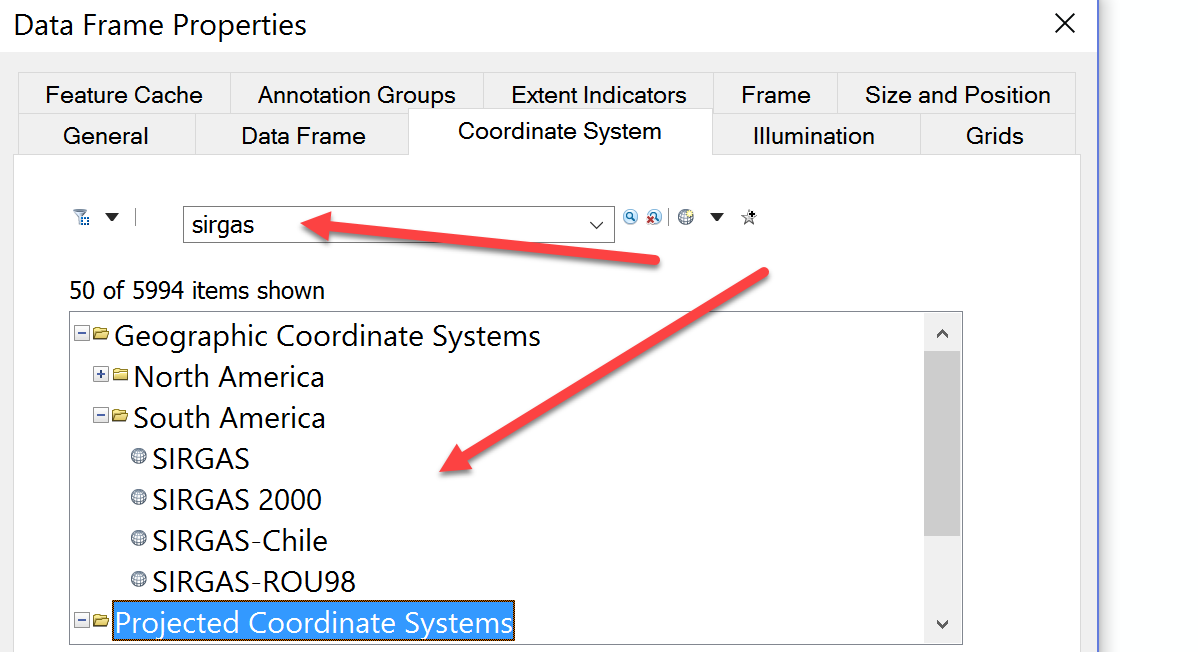
Dan, about my original problem, my study area is in Brazil. Actually, it's two administrative regions of São Paulo state. So, I think the coordinate system "SR-ORG:7823: Albers Conical Equal Area Brazil (SIRGAS 2000)" that you listed will be appropriated. However, I couldn't find it in the XY Coordinate System of ArcGIS (please, see the picture attached). A lat/long (geographic) coordinate system, like those in the picture you attached, will not be useful for me.
Thanks for you attention, Dan.
Sincerely,
Pasqualotto.
- Mark as New
- Bookmark
- Subscribe
- Mute
- Subscribe to RSS Feed
- Permalink
- Report Inappropriate Content
Not familiar with projections in that part of the world, but I just expanded the search to projected coordinate systems and 'sirgas' turned up a few more, but not Albers, so you may have to look at projection parameters specifically to see if there is a suitable equivalent or one you could modify for your purposes.

- Mark as New
- Bookmark
- Subscribe
- Mute
- Subscribe to RSS Feed
- Permalink
- Report Inappropriate Content
Hi Nielson,
Esri has coordinate reference systems defined in the EPSG registry or by us. The SAD69 Albers definition was a 'sample' coordinate system that we defined over 10 years ago. We have put in any entries from http://spatialreference.org because they are not checked in any way. We don't know if a definition is really in official use or just widely used and have no way to check whether the definitions are correct or not.
You can always define your own coordinate system Right-click the SAD69 Albers definition and copy and edit it. Add it to Favorites and it will be available throughout ArcGIS.
Melita
- Mark as New
- Bookmark
- Subscribe
- Mute
- Subscribe to RSS Feed
- Permalink
- Report Inappropriate Content
Melita,
Why you can not check the definitions in the coordenate reference system (CRS) from SpatialReference.org? I'm asking because every CRS has its .prj file to download. So, we can open it and check the parameter values (e.g. False_Easting, False_Northing, etc.).
Like you said, I could make my own (custom) CRS file, but I don't know which values to use. Would you know where I can find some directions about the parameter values that are more appropriated for my region?
Thanks,
Pasqualotto.
- Mark as New
- Bookmark
- Subscribe
- Mute
- Subscribe to RSS Feed
- Permalink
- Report Inappropriate Content
The parameters aren't bad, and could be used for your area of interest. One of the standard parallels is at -22, which should be in or near your area of interest. If you do create a custom coordinate system, you could further customize the parameters.
For Albers, central meridian should be place in the center of the area of interest. The latitude of origin sets the zero location of the y/northing values. So you could set it to -26 so that all Y values are positive, or put it in the center of the data.
Let's say the north-south extent is from -22 to -25 or 3 degrees. One "rule" is that you place the standard parallels at 1/6 of the extent from the north and south edges. In this example, they would be at -22.5 and -24.5 or you could use 1/3 or 1/4.
The false easting and false northing parameters are used to make sure all values are positive values.
Melita