- Home
- :
- All Communities
- :
- Products
- :
- ArcGIS GeoStatistical Analyst
- :
- ArcGIS GeoStatistical Analyst Questions
- :
- IDW interpolation method
- Subscribe to RSS Feed
- Mark Topic as New
- Mark Topic as Read
- Float this Topic for Current User
- Bookmark
- Subscribe
- Mute
- Printer Friendly Page
IDW interpolation method
- Mark as New
- Bookmark
- Subscribe
- Mute
- Subscribe to RSS Feed
- Permalink
- Report Inappropriate Content
Hi,
I'm doing my end-of-degree about geostatistical interpolation. I'm using IDW to interpolate some Soil Moisture data from a surface. The thing is, that I'm looking for one single value for the whole area I'm interpolating (because I need to compare it with the soil moisture mesaured in the whole area by satellite). I don't know which parameter I should vary to accomplish that aim.
Thanks in advance for the help
- Mark as New
- Bookmark
- Subscribe
- Mute
- Subscribe to RSS Feed
- Permalink
- Report Inappropriate Content
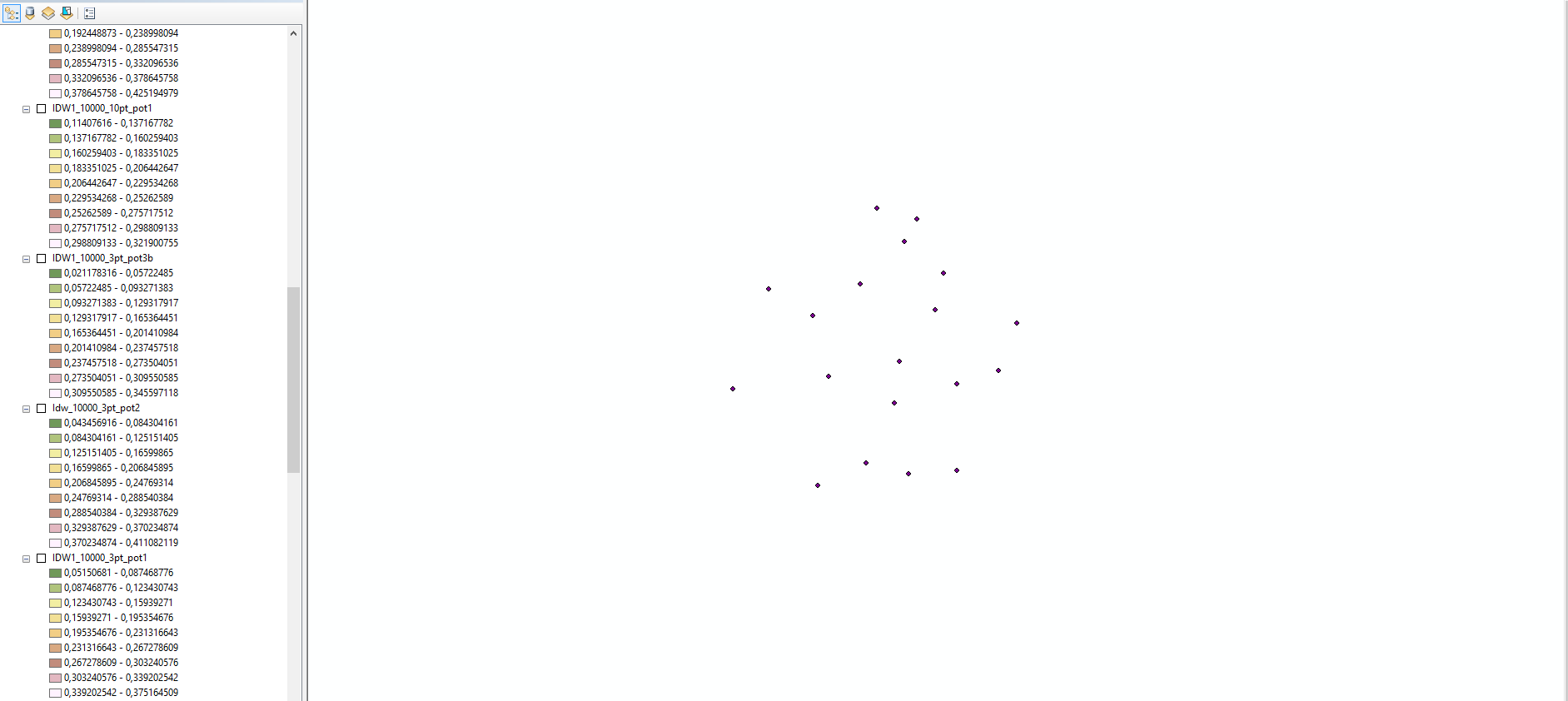
I am not sure why you would be doing interpolation. A Thiessen polygon (aka a Voronoi Diagram) could be used to apportion the space into discrete areas based on point location and weighted accordingly. Having an image of the locations you have might be useful to facilitate other options.
- Mark as New
- Bookmark
- Subscribe
- Mute
- Subscribe to RSS Feed
- Permalink
- Report Inappropriate Content
Hi,
thanks for advice. The aim of the project is to test some methods to interpolate the SM to get to know if the classical mean is cost-effective. I got the grid showwn
And when I try to use IDW, I always get things like that:

Which I know is the common thing. But, what I need, is to get, one single value. I tried to change the Z resolution, but it seems that it doesn't listen to me.
I don't know what to do.
Thanks in advance
- Mark as New
- Bookmark
- Subscribe
- Mute
- Subscribe to RSS Feed
- Permalink
- Report Inappropriate Content
Sorry, I stand by my suggestion of methodology.
- Mark as New
- Bookmark
- Subscribe
- Mute
- Subscribe to RSS Feed
- Permalink
- Report Inappropriate Content
If you are seeking a single value, why are you interpolating a surface? Could you simply get statistics on the selected point data, and then choose which statistic you wish to use (ie: mean value)?
Regards,
Jim