Turn on suggestions
Auto-suggest helps you quickly narrow down your search results by suggesting possible matches as you type.
Cancel
- Home
- :
- All Communities
- :
- Products
- :
- ArcGIS Explorer Desktop (Retired)
- :
- ArcGIS Explorer Desktop Questions
- :
- Using ArcGIS Explorer with no Basemaps
Options
- Subscribe to RSS Feed
- Mark Topic as New
- Mark Topic as Read
- Float this Topic for Current User
- Bookmark
- Subscribe
- Mute
- Printer Friendly Page
Using ArcGIS Explorer with no Basemaps
Subscribe
481
0
07-10-2017 07:31 AM
07-10-2017
07:31 AM
- Mark as New
- Bookmark
- Subscribe
- Mute
- Subscribe to RSS Feed
- Permalink
- Report Inappropriate Content
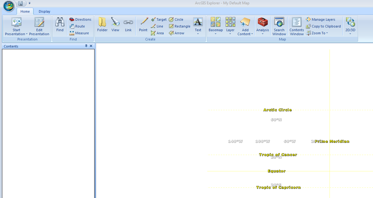
I would like to use ArcGIS Explorer (AGX) with no basemaps - in fact, no internet link at all. The County's Roads and Bridges Department needs to view the GIS roads we maintain as they populate and proof PubWorks. I can't determine how to use no basemap - because even if I delete the basemap AGX is slow and seems to be reading from ArcOnline anyway. Lat/Longs appear although our data is State Plane. The Arctic circle, tropics and equator also appear. I don't want any of that.
The screen with no basemap appears below.
0 Replies