Turn on suggestions
Auto-suggest helps you quickly narrow down your search results by suggesting possible matches as you type.
Cancel
- Home
- :
- All Communities
- :
- Products
- :
- Data Management
- :
- Data Management Questions
- :
- Symbology on null value
Options
- Subscribe to RSS Feed
- Mark Topic as New
- Mark Topic as Read
- Float this Topic for Current User
- Bookmark
- Subscribe
- Mute
- Printer Friendly Page
Symbology on null value
Subscribe
8187
16
05-26-2012 11:59 AM
05-26-2012
11:59 AM
- Mark as New
- Bookmark
- Subscribe
- Mute
- Subscribe to RSS Feed
- Permalink
- Report Inappropriate Content
I am trying to symbolize a layer on Quantities -> Natural Breaks -> Jenks. There are some null values in the column that I'm using for the symbolization, and that causes those features to disappear from the map when symbolized. Is there a way that I can set a default value for the column so that this will not happen?
Thanks
Thanks
16 Replies
05-27-2012
08:48 PM
- Mark as New
- Bookmark
- Subscribe
- Mute
- Subscribe to RSS Feed
- Permalink
- Report Inappropriate Content
I am trying to symbolize a layer on Quantities -> Natural Breaks -> Jenks. There are some null values in the column that I'm using for the symbolization, and that causes those features to disappear from the map when symbolized. Is there a way that I can set a default value for the column so that this will not happen?
Thanks
There might be a simpler method than this - but you could add a field, then use field calculator to fill it with the values from the old field. Then use Select by Attribute to select all the rows with a value of NULL, then use Field Calculator again to replace this null value with a different value.
05-29-2012
06:32 AM
- Mark as New
- Bookmark
- Subscribe
- Mute
- Subscribe to RSS Feed
- Permalink
- Report Inappropriate Content
I did find one method. I exported the data to a shapefile, upon which the null values became zeros. Then I imported the shapefile and used it as the source for the theme. Now the formerly null values at least showed up as zeros. I added another break in the Jenks that Arc provided, specifying zero.
05-29-2012
07:49 AM
- Mark as New
- Bookmark
- Subscribe
- Mute
- Subscribe to RSS Feed
- Permalink
- Report Inappropriate Content
Another method you can use in the future is the Select By Attribute function to select all records in that field that are null, then the Field Calculator to calculate a 0 for those records; if you have records selected in a field, the field calculator will only run on those records.
09-16-2013
05:04 AM
- Mark as New
- Bookmark
- Subscribe
- Mute
- Subscribe to RSS Feed
- Permalink
- Report Inappropriate Content
There might be a simpler method than this - but you could add a field, then use field calculator to fill it with the values from the old field. Then use Select by Attribute to select all the rows with a value of NULL, then use Field Calculator again to replace this null value with a different value.
Yes, I tried that too. But because you want to symbolize Quantities, you need a number field and the only way to use Field Calculator is with a Text field so unfortunately this won"t work.
09-16-2013
05:07 AM
- Mark as New
- Bookmark
- Subscribe
- Mute
- Subscribe to RSS Feed
- Permalink
- Report Inappropriate Content
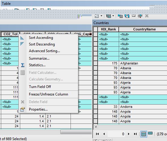
Okay I have a similar problem now only I have some values being zero and some without values at all (NULL) and I need to distinguish between the two because a country with a data value of 0 is different than "No Data". What do I do!?
09-16-2013
05:08 AM
- Mark as New
- Bookmark
- Subscribe
- Mute
- Subscribe to RSS Feed
- Permalink
- Report Inappropriate Content
Yes, I tried that too. But because you want to symbolize Quantities, you need a number field and the only way to use Field Calculator is with a Text field so unfortunately this won"t work.
Field calculator works with number fields perfectly fine. Selecting Null values and overwriting them with the Field Calculator is no different between a text field and a number field. Why would you think otherwise?
09-16-2013
05:11 AM
- Mark as New
- Bookmark
- Subscribe
- Mute
- Subscribe to RSS Feed
- Permalink
- Report Inappropriate Content
:S Well it isn't working for me. Every time I try to use Field Calculator on a number field it is grayed out. Why would that be?
09-16-2013
05:20 AM
- Mark as New
- Bookmark
- Subscribe
- Mute
- Subscribe to RSS Feed
- Permalink
- Report Inappropriate Content
:S Well it isn't working for me. Every time I try to use Field Calculator on a number field it is grayed out. Why would that be?
No idea without any information on what version of ArcMap you are using, what database you are using, if you have added any joins to your data, etc. Based I what I know of your set up all I can say is it works for me and definitely should work for you if you are working with normal unjoined geodatabase or shapefile data.
09-16-2013
05:40 AM
- Mark as New
- Bookmark
- Subscribe
- Mute
- Subscribe to RSS Feed
- Permalink
- Report Inappropriate Content
I am using ArcGIS 10.1. I work in the Maps, Data & GIS Library at a University and a colleague and I were experimenting with what data is available to students as we have a cartography class in which each student has to choose a topic and study area and make a map. We wanted to know what boundary files were available on a global scale and were testing the "country.sdc" layer from ../My Document/ArcGIS/Packages/World_Countries/commondata/data0/ which I know to be some sort of data from Esri. It loads almost like a CAD file. Perhaps this is the problem? We have then joined that file to some data from the Human Development Reports.