- Home
- :
- All Communities
- :
- Industries
- :
- State & Local Government
- :
- State & Local Government Questions
- :
- a few questions Condos and Tax vs Ownership
- Subscribe to RSS Feed
- Mark Topic as New
- Mark Topic as Read
- Float this Topic for Current User
- Bookmark
- Subscribe
- Mute
- Printer Friendly Page
a few questions Condos and Tax vs Ownership
- Mark as New
- Bookmark
- Subscribe
- Mute
- Subscribe to RSS Feed
- Permalink
- Report Inappropriate Content
I have taken classes on parcel fabric but still have a few questions.
1 Tax vs Ownership - The only gis data I have to start with are parcel polygons and PLSS. Our parcel polygons are used in
webmaps to identify parcel owner, Assessor parcel number, situs address, and owner address. The only encombrances
we have digitized are roads. Thus I am assuming all of our parcels are OWNERSHIP parcels since we do not have any
Conveyances or utility easements digitized, not tax parcels?
2. Condos - We currently have stacked polygons for our condo complexes that are more than 1 floor. We would like to keep it that
way. The only examples of a parcel fabric I have seen employ dozens of stacked polygons of the same size for entire condo
complex, with a look up table for attributes for each individual condo. Since our ultimate goal is to show our parcels
in a parcel viewer app can I continue use stacked polygons for each condo unit?
3. PLS - We are in California, in the SF bay area. I downloaded the Teal PLS shapefile from our state gis website.
Our parcels do not line up with the PLS at all. They were created about 10 years ago and over time have been
cogoed in but match up to the orthophotos. I realize that orhtophotos are not a good control for the parcel lines because
the orthophoto can change over time as new orhtophoto sets become available. So, will it cause problems if some of my
parcels are on top of more than one PLS. i.e. spatially our parcels are not necessarily a 1 to 1 relationship to the PLS?
Thanks to anyone who responds with input.
Katy
- Mark as New
- Bookmark
- Subscribe
- Mute
- Subscribe to RSS Feed
- Permalink
- Report Inappropriate Content
I'll try to respond the best I can.
1. Tax Parcels are parcels that have been identified for the purpose of sending a Tax bill for a specific unit of land. In your example, it sounds like the assessment information (situs address, owner name) has been tethered to the unit of land, but these could still be considered tax parcels. The major difference that you should be concerned about is legal-lot parcel vs. tax parcel, many times 2 or more lots (or portion of the original lots) are reconfigured to create tax parcels. Imagine a legal description of "A portion of land being described as Lot 1 and 2 of Green Acres Subdivision", or the "East 15 ft. of Lot 1 combined with Lot 2 of Green Acres Subdivision".
The screenshot below is a good example. The dashed-lines represent the originally conveyed lots vs. the solid lines representing the taxable unit of land.
[ATTACH=CONFIG]30121[/ATTACH]
2. Condos can be modeled and edited in such a way that you enter each Unit (Lot), Tax Parcel, Limited and General Common Element, etc. as individual geometries. To accomplish this, use the Lots and Units Parcel types as part of the Local Government Information Model.
[ATTACH=CONFIG]30122[/ATTACH]
3. Managing the PLSS as part of your parcel maintenance workflow can be an important decision. Before doing this, we recommend that you "vertically" align parcel types that should share a common boundary before loading them to your parcel fabric (this goes for any parcel type and not limited to PLSS)
If you don't choose to include the PLSS into your Parcel Fabric, you will most likely still need it to create new parcels as they are recorded. As an example, if new description references a section corner, 1/4 corner, etc. you'll need to "snap" the origin connection lines to this point in order to find the POB (point of beginning). In this example, if the section corner is not aligned, or non-existent, it will make your job difficult. For this reason, many local jurisdictions maintain their own version of the PLSS that align with their Parcel Fabric (that may or not be more spatially accurate).
- Mark as New
- Bookmark
- Subscribe
- Mute
- Subscribe to RSS Feed
- Permalink
- Report Inappropriate Content
Sorry about the thread necromancy, but I found this when trying to figure out a solution for my lot lines. We are working on migrating over to a parcel fabric and I have been struggling with what to do about our "inactive" lot lines like the dashed in line lot_tax.jpg. I've attached a screen shot from our current set up, with the green lines and land hooks in green. How would I type our lot lines feature class to fit into the LGIM? 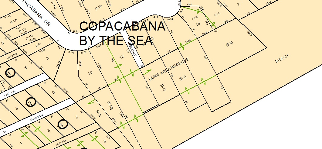
- Mark as New
- Bookmark
- Subscribe
- Mute
- Subscribe to RSS Feed
- Permalink
- Report Inappropriate Content
Hi Anna,
I would create lots by combining lot lines and tax parcel lines, convert the lot anno to points and then code the attribute values from the points to the newly created lots.
Chris
- Mark as New
- Bookmark
- Subscribe
- Mute
- Subscribe to RSS Feed
- Permalink
- Report Inappropriate Content
Okay, I will try that out. Would I still be able to visualize the inactive lot lines by a separate attribute? We still have a SYMBOL field left over from when we migrated from coverages that have individual attributes for each line (ie: 6 is an active parcel line, 7 is an inactive lot line, etc).