Turn on suggestions
Auto-suggest helps you quickly narrow down your search results by suggesting possible matches as you type.
Cancel
- Home
- :
- All Communities
- :
- Products
- :
- ArcGIS Drone2Map
- :
- ArcGIS Drone2Map Questions
- :
- Re: ERROR DRONE2MAP
Options
- Subscribe to RSS Feed
- Mark Topic as New
- Mark Topic as Read
- Float this Topic for Current User
- Bookmark
- Subscribe
- Mute
- Printer Friendly Page
ERROR DRONE2MAP
Subscribe
1124
4
07-21-2016 03:48 PM
07-21-2016
03:48 PM
- Mark as New
- Bookmark
- Subscribe
- Mute
- Subscribe to RSS Feed
- Permalink
- Report Inappropriate Content
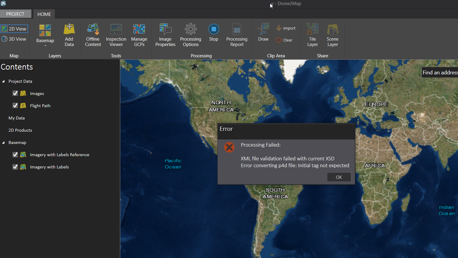
Hola,
Estoy utilizando DRONE2MAP y tengo el error. Leo los datos in problema.
Se agradece la ayuda.
Maria
4 Replies
07-21-2016
03:51 PM
- Mark as New
- Bookmark
- Subscribe
- Mute
- Subscribe to RSS Feed
- Permalink
- Report Inappropriate Content
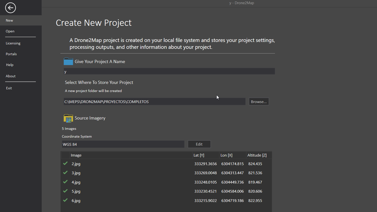
are you sure your coordinates are GCS WGS84? The values listed seem to reflect a projected coordinate system
07-21-2016
03:53 PM
- Mark as New
- Bookmark
- Subscribe
- Mute
- Subscribe to RSS Feed
- Permalink
- Report Inappropriate Content
Hi,... I am using WGS84, UTM ZONE 19 S......
07-21-2016
04:01 PM
- Mark as New
- Bookmark
- Subscribe
- Mute
- Subscribe to RSS Feed
- Permalink
- Report Inappropriate Content
Ok... the coordinate system must have been truncated, the values are appropriate then, so that can be ruled out.
08-04-2016
01:03 PM
- Mark as New
- Bookmark
- Subscribe
- Mute
- Subscribe to RSS Feed
- Permalink
- Report Inappropriate Content
Maria,
Does your imagery contain Yaw, Pitch and Roll data? There is a known issue with imagery containing this information that will be fixed in an update being released next week.
Thanks
Tony