- Home
- :
- All Communities
- :
- Products
- :
- ArcGIS Earth
- :
- ArcGIS Earth Questions
- :
- Arcgis Earth is half displaying layers in external...
- Subscribe to RSS Feed
- Mark Topic as New
- Mark Topic as Read
- Float this Topic for Current User
- Bookmark
- Subscribe
- Mute
- Printer Friendly Page
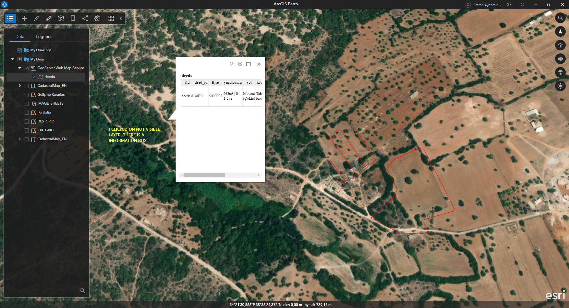
Arcgis Earth is half displaying layers in external WMS service.
- Mark as New
- Bookmark
- Subscribe
- Mute
- Subscribe to RSS Feed
- Permalink
- Report Inappropriate Content
Hello, I created a WMS service on my GeoServer server. I added the layer in this service as a content to my Arcgis Online account. I can view the layer through Arcgis Online Map Viewer without any problems. However, when I log into Arcgis Earth App and add the WMS layer from my content, the images appear incomplete and incorrect. When I completely remove the layer from my Arcgis Online account and add it again, the missing parts are fixed. But layers are added regularly from an external application. When a new layer is added, the new layer appears missing or not visible at all. But since I know the location of the layer, when I click on that point, I can get information about the layer.

- Mark as New
- Bookmark
- Subscribe
- Mute
- Subscribe to RSS Feed
- Permalink
- Report Inappropriate Content
Thanks for your feedback. The data on my environment does not reproduce the issue you describe. I used the default layer named "tiger:poly_landmarks" on GeoServer. More information is required from you:
1. Is there an issue with adding the WMS service URL directly into Earth?
2. What spatial reference of your WMS layer?
3. Is it possible for you to share the issue data with us? So we can investigate the issue based on it.
Thanks!
- Mark as New
- Bookmark
- Subscribe
- Mute
- Subscribe to RSS Feed
- Permalink
- Report Inappropriate Content
default layers working normally. also my layer is working normally. butwhen I add a new layer dynamically, parts of the new layer lines seem to be missing. When I delete the layer and re-add it to Arcgis Online, or when I open Arcgis Earth the next day, the layers are displayed without any problems.


- Mark as New
- Bookmark
- Subscribe
- Mute
- Subscribe to RSS Feed
- Permalink
- Report Inappropriate Content
Hey, I noticed this. After clearing the Arcgis Earth dump files, my layers loaded fine. C:\Users\username\AppData\Local\ESRI\ArcGISEarth\dump_files

- Mark as New
- Bookmark
- Subscribe
- Mute
- Subscribe to RSS Feed
- Permalink
- Report Inappropriate Content
i added new layer, i unistalled arcgis earth and all temp files. after i installed arcgis earth again. but new layer lines missing again.
- Mark as New
- Bookmark
- Subscribe
- Mute
- Subscribe to RSS Feed
- Permalink
- Report Inappropriate Content
Hi @EmrahAydemir , I'm glad to hear that your data works now. But it is still a little weird, it's unreasonable that the dump files can affect the rendering. If you still meet this issue next time, you can use tools (e.g. fiddler) to capture ArcGIS Earth network requests. Try to find the WMS GetMap requests (e.g.
http://localhost:8080/geoserver/wms?
request=GetMap
&service=WMS
&version=1.3.0
&layers=topp%3Astates
&styles=population
&srs=EPSG%3A4326
&bbox=-145.15104058007,21.731919794922,-57.154894212888,58.961058642578&
&width=780
&height=330
&format=image%2Fpng
), and see if the response of the image is incomplete. If so maybe there are some issues with the request parameters, or it is a server-side issue.
Best!
- Mark as New
- Bookmark
- Subscribe
- Mute
- Subscribe to RSS Feed
- Permalink
- Report Inappropriate Content
Hi, when I add the format parameter, the layers are displayed without any problems. But there is still something strange. Layers are updated when I disable and re-enable the layer. It doesn't update when I move the map. Also, when zooming back in, the layers don't grow to scale. It stays fixed. I tried watching the network flow with Fiddler. But Arcgis Earth does not allow this.
I found a similar issue here. But there is no proxy option in Arcgis Earth. https://gis.stackexchange.com/questions/25907/is-it-possible-to-setup-fiddler-to-capture-requests-fr...
- Mark as New
- Bookmark
- Subscribe
- Mute
- Subscribe to RSS Feed
- Permalink
- Report Inappropriate Content
oh okay i closed argis earth and restarted now i can track network. i found request url
/geoserver/deeds/ows?SERVICE=WMS&EXCEPTIONS=XML&bbox=3824574.4902976798%2C4246350.0266550155%2C3825741.1131739817%2C4246708.8173412997&bgcolor=0xFEFFFF&crs=EPSG%3A3857&format=image%2Fpng&height=630&layers=deeds&request=GetMap&service=WMS&styles=&transparent=TRUE&version=1.3.0&width=2048 HTTP/1.1
- Mark as New
- Bookmark
- Subscribe
- Mute
- Subscribe to RSS Feed
- Permalink
- Report Inappropriate Content
https://gis.cyprusgis.com/geoserver/deeds/wms
this is my geoserver url and layer can you check for me please
- Mark as New
- Bookmark
- Subscribe
- Mute
- Subscribe to RSS Feed
- Permalink
- Report Inappropriate Content
I tried the request you provided above with the web browser today and yesterday, but I got a different result. I can see a polygon yesterday, but I got an empty image right now.

And I also tested the WMS service on your GeoServer, I got the same result whether adding to ArcGIS Online or adding the WMS directly to Earth. I just see one polygon, is this expected?

For WMS, Earth only renders the image get from the server side, so looks like it is a cache issue on the client or server side. I think it is worth checking the cache configuration of the WMS service on GeoServer.