- Home
- :
- All Communities
- :
- Industries
- :
- Education
- :
- Education Blog
- :
- Fun with GIS 240: Teaching with GeoInquiries
Fun with GIS 240: Teaching with GeoInquiries
- Subscribe to RSS Feed
- Mark as New
- Mark as Read
- Bookmark
- Subscribe
- Printer Friendly Page
- Report Inappropriate Content
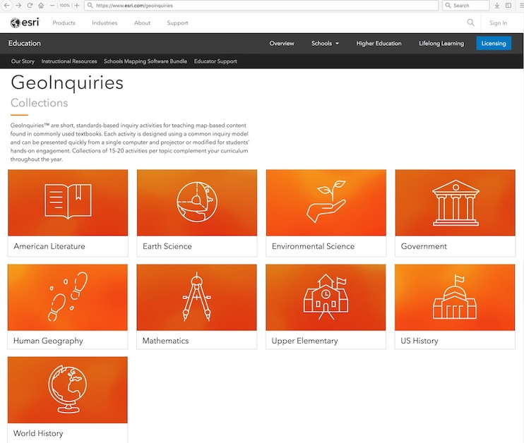
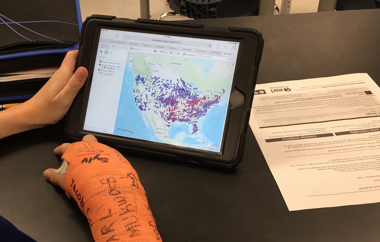
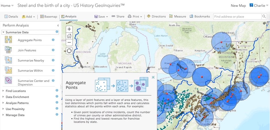
GeoInquiries(TM) have revolutionized “teaching with GIS,” by making this remarkable technology accessible even to teachers with modest technology, tech skills, and instructional time. In 2014, Esri started offering ArcGIS Online accounts to every US K12 school for free for instruction. Launched at the same time, GeoInquiries collections have grown to nine sets of 15-20 lessons (150 in all so far), presenting standards-based content through ArcGIS Online. GeoInquiries combine concise two-page documents with unique prepared maps using the standard ArcGIS Online Map Viewer interface, requiring no download, install, or even login for initial activities. (See short intro movie. “Level 2” activities require an Organization-based login with publishing privileges to do analyses.)
With varied instructional strategies, teachers can cover key content in bite-sized chunks through interactive experiences. Provided instructions follow an inquiry approach, to leverage curiosity and engage students as powerfully as time and conditions permit. Over time, we have seen teachers use stylistic variations.
Mini-Lecture: Some teachers know their subject matter very well, and need simply a way to illustrate quickly a few geographic patterns and relationships in a few minutes. They project from their computer to a screen at the front of the room. Some teachers even do this to present in multiple classrooms at once -- in their regular classroom and simultaneously in another across town (even across the state), where there isn’t a teacher available to teach the course.
Guided Discovery: It takes a little more time and attention to the teacher instructions to ask a steady stream of questions designed to entice responses from a whole class at once and steer students collectively toward discovering fundamental goals of a lesson. But even for teachers doing this multiple times in a day, unique class makeup can yield very different paths from one session to the next.
Worksheet World: Some teachers provide students a custom worksheet and, after a quick intro, ask students to go step-by-step. Some teachers aim simply to have learners document factual responses, but building student engagement by incorporating higher level questions at different points (either at a specific step or at a common time) often yields more active students.
Teacher Tryouts: A few teachers issue copies of the unedited teacher page and ask students to go through the activity within a specific time period, following the specified structure, and preparing to respond to follow-up questions or to craft their own powerful questions, or, for fun, “stumpers.”
Meandering for Meaning: Some teachers ask students to open the map and explore the content without much guidance beyond an overarching idea or concept. With riveting content this can be effective, but insufficient guidance can permit less focused students to meander much farther afield. (See “Presentations” below.)
Presentation Power: To reduce digital meandering, exercise analytical thinking, or expand creativity, some teachers engage “Presentations.” After a quick intro to the content, students save the GeoInquiry into their own account, explore for perhaps 10 minutes, then take about 15 minutes to construct their own “3-slide presentation” focused on their own view of the big idea of the lesson. Sharing their creation with two other students before assessment by the teacher can support big ideas while stimulating some creative designs. (See blog about this, http://esriurl.com/funwithgis229)
Teachers can mix and match these modes even within a single lesson. Whatever the strategy, GeoInquiries offer teachers the chance to engage students with dynamic content, often on their own devices, helping them identify patterns and relationships, which build more solid background. With a few GeoInquiries under their belt, students and teachers may be ready for deeper dives, doing analyses with "Level 2 lessons," or going beyond pre-structured content into custom projects. GeoInquiries offer a powerful on-ramp to learning, thinking, building, and doing with technology, which is an essential skill for today's learners at all ages. See the collections at esri.com/geoinquiries.
You must be a registered user to add a comment. If you've already registered, sign in. Otherwise, register and sign in.
-
Administration
39 -
Announcements
47 -
Career & Tech Ed
1 -
Curriculum-Learning Resources
187 -
Education Facilities
24 -
Events
49 -
GeoInquiries
1 -
Higher Education
524 -
Informal Education
266 -
Licensing Best Practices
47 -
National Geographic MapMaker
17 -
Pedagogy and Education Theory
191 -
Schools (K - 12)
282 -
Schools (K-12)
190 -
Spatial data
24 -
STEM
3 -
Students - Higher Education
232 -
Students - K-12 Schools
90 -
Success Stories
22 -
TeacherDesk
1 -
Tech Tips
84
- « Previous
- Next »