Migrating to Modern GIS
- Subscribe to RSS Feed
- Mark as New
- Mark as Read
- Bookmark
- Subscribe
- Printer Friendly Page
- Report Inappropriate Content
Evolving GIS Architecture
Many of us have grown up thinking about GIS as a desktop software on our PC. (Ok, some of us remember farther back, to minicomputers and mainframes.) But as Roger Tomlinson taught during so many years, GIS is best thought of not as software for you but rather as a project among many. GIS is quite often a team activity, and frequently these days most of the team members are not sitting in a GIS lab or department.
Today it makes sense to think of what we might call “modern GIS”, which merges a powerful desktop system with mobile apps, web apps, enterprise server components, cloud mapping and data services, and developer tools to be able to provide the right functionality and the right user experience (UX) for experts to absolute novices. The proverbial GIS toolbox is distributed and now resides at many locations. The end user might be on fieldwork, collecting data and accessing the GIS via a mobile device; the data might be stored on a cloud server in another city or country; the processing routines might be running on another server; an external user might be watching the results on a dashboard in yet another location. This distributed system architecture has become a key part of the digital transformation of many organizations, the practical result of which is simply providing GIS-based analysis to many more employees or researchers.
Learning about –and teaching-- modern GIS, what thousands of government and commercial organizations are using or are migrating to, opens the door to new collaboration and career opportunities. Let me be clear: traditional GIS users are seeking young graduates to help them move to, and scale-up, modern GIS architecture.
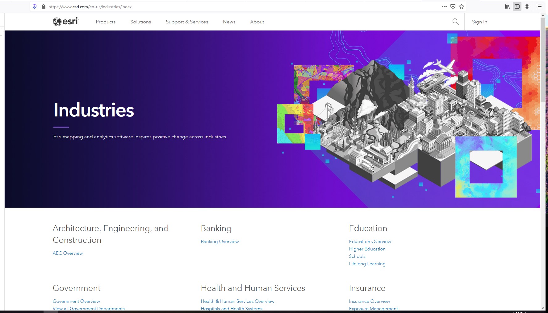
To get an idea of how Esri views modern GIS take a look at this video (or most any recent Esri conference video) outlining the evolving ArcGIS architecture, including but not limited to traditional GIS. These modern GIS components were not built by a speculative start-up, rather by a 50-plus year old technology company aiming to satisfy the day-to-day needs of organizations around the world. Who are these users? Let’s get specific. Esri’s Industries website provides a glimpse of what each of these professional communities does with and needs from a modern GIS.
Some instructors might think that this wider GIS architecture is too much to dominate, too much to keep up with. But no one person needs to be specialized in, nor teach, all of this. Each one of us chooses the tools and methods that are appropriate for the discipline, level and needs of user, and the tasks at hand. Are we interested in data collection? Then mobile apps are worth investing time in. Is data sharing a priority? Then online portals come into view. Do we need to extend the GIS to include external machine learning routines? Then developer tools come into play.
Understanding the options available, and what each component might be used for, moves GIS instruction further toward the industry and government workflows that students will encounter after graduation.
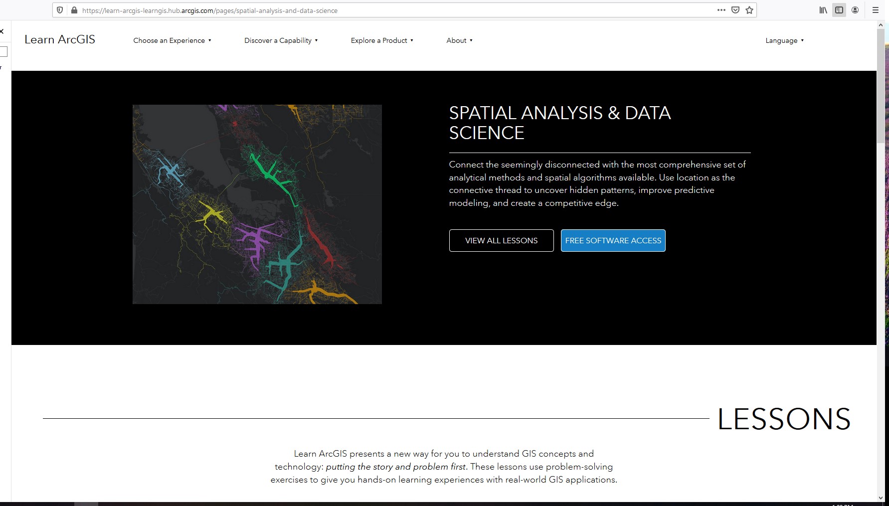
Many of these modern GIS components are available for free testing at the Learn.arcgis.org site. The Collector app is easily installed on mobile devices and allows field workers –from a utilities company or a science classroom—to collect and share geodata to an online, multiuser database. Survey123 is another mobile app, that allows users to create and run a geocoded survey in the field. You can watch in realtime as survey responses appear on the webmap: where do people feel unsafe, or want graffiti cleaned, or have seen a particular bird species? ArcGIS Online allows GIS users to create, analyze, visualize, organize, share, and discover geodata, from any web-connected device. StoryMaps and Dashboards provide many options for communicating GIS-based results to non-experts. Many students, non-expert GIS users, and also professional organizations can do most of their GIS work just with these web-enabled ArcGIS tools. The COVID-19 crisis has made it necessary for many people, including instructors and students, to brush up on these online solutions. In doing so they are discovering a whole new viewpoint on what is GIS is.
You must be a registered user to add a comment. If you've already registered, sign in. Otherwise, register and sign in.
-
Administration
39 -
Announcements
46 -
Career & Tech Ed
1 -
Curriculum-Learning Resources
182 -
Education Facilities
24 -
Events
48 -
GeoInquiries
1 -
Higher Education
520 -
Informal Education
266 -
Licensing Best Practices
47 -
National Geographic MapMaker
17 -
Pedagogy and Education Theory
189 -
Schools (K - 12)
282 -
Schools (K-12)
187 -
Spatial data
24 -
STEM
3 -
Students - Higher Education
232 -
Students - K-12 Schools
89 -
Success Stories
22 -
TeacherDesk
1 -
Tech Tips
83
- « Previous
- Next »