- Home
- :
- All Communities
- :
- Products
- :
- Geoprocessing
- :
- Geoprocessing Questions
- :
- Re: What tool could I use to compare crop type cha...
- Subscribe to RSS Feed
- Mark Topic as New
- Mark Topic as Read
- Float this Topic for Current User
- Bookmark
- Subscribe
- Mute
- Printer Friendly Page
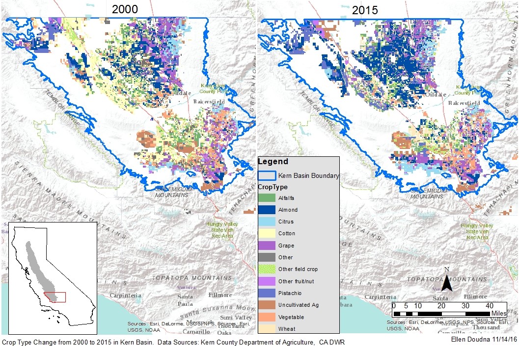
What tool could I use to compare crop type changes between two shapefiles of agricultural fields for the same area but different years (and not exactly the same acreage)?
- Mark as New
- Bookmark
- Subscribe
- Mute
- Subscribe to RSS Feed
- Permalink
- Report Inappropriate Content
Both shapefiles have over 14,000 rows in their attribute tables, with 150 different types of crops which I have recategorized using Python into 12 categories. I can look at the maps side by side and see changes, but if I want to know what the acreage of a crop in the second map replaced in the first map, it seems there should be a way to do that. I tried "Table Compare" in the Data Comparison toolbox, but it didn't like that the number of rows in the two tables are not exactly the same. Any suggestions?
- Mark as New
- Bookmark
- Subscribe
- Mute
- Subscribe to RSS Feed
- Permalink
- Report Inappropriate Content
That is a pretty big combination... however, in raster world Combine—Help | ArcGIS for Desktop is your best bet
In vector world, perhaps How Union works—Help | ArcGIS for Desktop since it keeps the attributes from both, but given your number of inputs, I am pretty sure it will fail. So, is there any way you can simplify the analysis? Are all the really small areas critical? are some years the same as others? Perhaps have a look at the data issues and potential simplifications and/or consolidations to try to reduce the problem to a manageable size.
- Mark as New
- Bookmark
- Subscribe
- Mute
- Subscribe to RSS Feed
- Permalink
- Report Inappropriate Content
Have you tried the Feature Compare tool? Under Compare Type, you can select to compare geometry, attributes, etc., or just select all. I have used it to compare two large wetland datasets but admittedly I was not concerned about the attributes at the time.