- Home
- :
- All Communities
- :
- Products
- :
- Imagery and Remote Sensing
- :
- Imagery Ideas
- :
- implement display of imagery (raster) histograms
- Subscribe to RSS Feed
- Mark as New
- Mark as Read
- Bookmark
- Follow this Idea
- Printer Friendly Page
- Report Inappropriate Content
implement display of imagery (raster) histograms
- Mark as New
- Bookmark
- Subscribe
- Mute
- Subscribe to RSS Feed
- Permalink
- Report Inappropriate Content
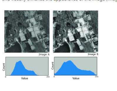
When teaching remote sensing or how to classify rasters, I find it is vital that students have access to the histogram of the data either in the dataset or in the current view (both would be helpful). Even in the help for Pro's Stretch Function, a histogram makes it clear how or why a percent clip routine is useful.
Stretch function—ArcGIS Pro | ArcGIS Desktop
However, it is only possible to see histograms of integer continuous data, albeit poorly, in the symbology pane, but not for floating point or imagery data.
Thus, in my GIS and Remote Sensing class that now uses Pro, I have to apologize for Pro's lack of functionality and display histograms from other products, for example, showing atmospheric contributions to radiance distributions from ERMapper that we used years ago.

from http://geology.wlu.edu/harbor/geol260/lecture_notes/Notes_rs_haze.html
Please put a window in the symbology pane (or if not that, at least make a geoprocessing tool or function) that displays a histogram for any raster (continuous, fp, or categorical), single band image (tif, ers, grid), or multiband image (tif, grid, ers, etc). Optimally, it will have a DRA button that can be turned on such that when the focus changes, the histogram will adjust.
Thanks
David Harbor
- Mark as Read
- Mark as New
- Bookmark
- Permalink
- Report Inappropriate Content
Hi David,
Do you mean like this:

Right-click on your raster layer > Chart > Histogram.
Histogram—Charts | ArcGIS Desktop
Does that work for you? Please let us know.
- Mark as Read
- Mark as New
- Bookmark
- Permalink
- Report Inappropriate Content
Hi david.harbor
I never heard back from you on this one. Have you tried the Histogram functionality in Pro and can you let me know if that is what you were looking for?
Thank you.
- Mark as Read
- Mark as New
- Bookmark
- Permalink
- Report Inappropriate Content
Hi Kory
Thanks for looking into this for me. I was teaching in the field this spring and must not have seen your response then. I apologize for the delay.
I tried your approach on the computer in the lab where I taught the course and it did not work, but suspected that is because the lab only updates to new version occasionally it was still on 2.0.1. I do have the "chart" right-click option on my laptop which is now using 2.1.3. Thanks for your assistance and glad this functionality is now with Pro. Curiously the help page says that the data has to have an attribute table, but my 8 band tif image doesn't seem to. But it works regardless
An additional question, if I may however. When I request the chart, I only get the option to use the bands (which show up as R, G and B, sadly, not their source names) displayed in the RGB image. Any way to access each band without having a display layer for each (which is not too terribly onerous)?

Thanks
David
You must be a registered user to add a comment. If you've already registered, sign in. Otherwise, register and sign in.