- Home
- :
- All Communities
- :
- Products
- :
- Imagery and Remote Sensing
- :
- Imagery Questions
- :
- Re: How do I add elevation data from a DEM to an a...
- Subscribe to RSS Feed
- Mark Topic as New
- Mark Topic as Read
- Float this Topic for Current User
- Bookmark
- Subscribe
- Mute
- Printer Friendly Page
How do I add elevation data from a DEM to an aerial photo?
- Mark as New
- Bookmark
- Subscribe
- Mute
- Subscribe to RSS Feed
- Permalink
- Report Inappropriate Content
Hi,
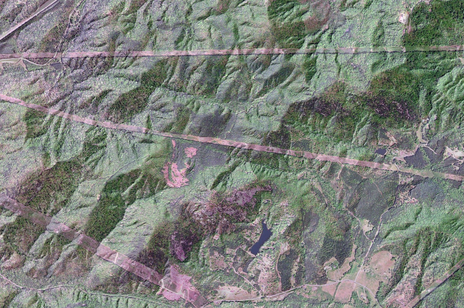
I have a feeling this is something simple that I'm overlooking, but I'm trying to add elevation data to an aerial to give the photo relief. I know I can simulate this by overlaying the DEM over the image and adjusting the transparency, but this creates a washed out image that doesn't have the contrast I'm looking for. I've attached a jpeg of what I have so far with a transparent DEM over the aerial. Any advice would be greatly appreciated! Thanks.
FYI: I'm not necessarily trying to create a 3D image, I merely want to merge the shaded relief DEM with the image.
- Mark as New
- Bookmark
- Subscribe
- Mute
- Subscribe to RSS Feed
- Permalink
- Report Inappropriate Content
You could have a look at the tools mentioned in htis blog: Take your terrain mapping to new heights | ArcGIS Blog
or the method described here: An alternative to overlaying layer tints on hillshades | ArcGIS Blog
If they do not provide the desired result, you may want to multiply (and stretch) the separate bands with the hillshade and combine them again in a color composite.
- Mark as New
- Bookmark
- Subscribe
- Mute
- Subscribe to RSS Feed
- Permalink
- Report Inappropriate Content
Xander,
Using the Pan Sharpen tool from the Image Analysis toolbar did the trick for most part. It's not perfect but much better than what I have. Thanks for your help! I've attached the pan sharpened version.
