- Home
- :
- All Communities
- :
- Products
- :
- Spatial Data Science
- :
- Spatial Data Science Questions
- :
- Re: Add raster values under points to table
- Subscribe to RSS Feed
- Mark Topic as New
- Mark Topic as Read
- Float this Topic for Current User
- Bookmark
- Subscribe
- Mute
- Printer Friendly Page
- Mark as New
- Bookmark
- Subscribe
- Mute
- Subscribe to RSS Feed
- Permalink
- Report Inappropriate Content
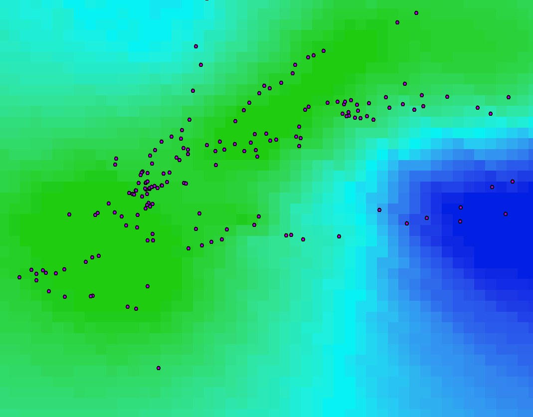
I have some points overlayed on top of a raster. Is there a tool in ArcGIS Desktop to add the values of the raster that the points fall on top of into the point attribute table?
Solved! Go to Solution.
Accepted Solutions
- Mark as New
- Bookmark
- Subscribe
- Mute
- Subscribe to RSS Feed
- Permalink
- Report Inappropriate Content
The tool part is part of Spatial Analyst and is called Extract Values to Points—Help | ArcGIS Desktop . If you have multiple rasters you should use the tool Extract Multi Values to Points—Help | ArcGIS Desktop
- Mark as New
- Bookmark
- Subscribe
- Mute
- Subscribe to RSS Feed
- Permalink
- Report Inappropriate Content
There's another tool (much older -- dates back to ArcInfo GRID in the mid 1990s!) which is helpful in certain workflows because it is more integrated with the raster geoprocessing environment. I have sometimes had to use it when the other two tools fail.