- Home
- :
- All Communities
- :
- Industries
- :
- State & Local Government
- :
- State & Local Government Questions
- :
- Re: Parcel Editing - getting started
- Subscribe to RSS Feed
- Mark Topic as New
- Mark Topic as Read
- Float this Topic for Current User
- Bookmark
- Subscribe
- Mute
- Printer Friendly Page
Parcel Editing - getting started
- Mark as New
- Bookmark
- Subscribe
- Mute
- Subscribe to RSS Feed
- Permalink
- Report Inappropriate Content
Just wanted to see if I could tap into the knowledge base of all you folks who work with Parcels on a regular basis. Our GIS Analyst who has been doing our City parcels for many years in retiring and I've been asked to join a group who will look at the current parcel editing process as we work through the transition. While I've done editing for many years, I have not specifically done Parcel editing, so wanted to see if I could get some insights as I wade into this. I realize this area of GIS has some specialized processes and procedures.
So, for starters, here's what I am looking for:
1. Can you recommend good documentation or classes that would help one get up to speed on this area of GIS?
2. Are there any particular pitfalls/unobvious things that you have run into to look out for?
3. Are there established ESRI "Best Practices" for Parcel editing?
Our parcel data is currently in SDE in a Parcel Fabric. We're on ArcGIS 10.2.1.
Thanks,
Chris Donohue, GISP
- Mark as New
- Bookmark
- Subscribe
- Mute
- Subscribe to RSS Feed
- Permalink
- Report Inappropriate Content
Hi Chris,
While I don't edit parcels daily, I work for ESRI Technical Support supporting users who maintain Parcel Fabrics in SDE. This is an awesome class for anyone wanting to learn best practices for editing and maintaining a Parcel Fabric.
http://training.esri.com/gateway/index.cfm?fa=catalog.courseDetail&CourseID=50128439_10.x
-Sam
- Mark as New
- Bookmark
- Subscribe
- Mute
- Subscribe to RSS Feed
- Permalink
- Report Inappropriate Content
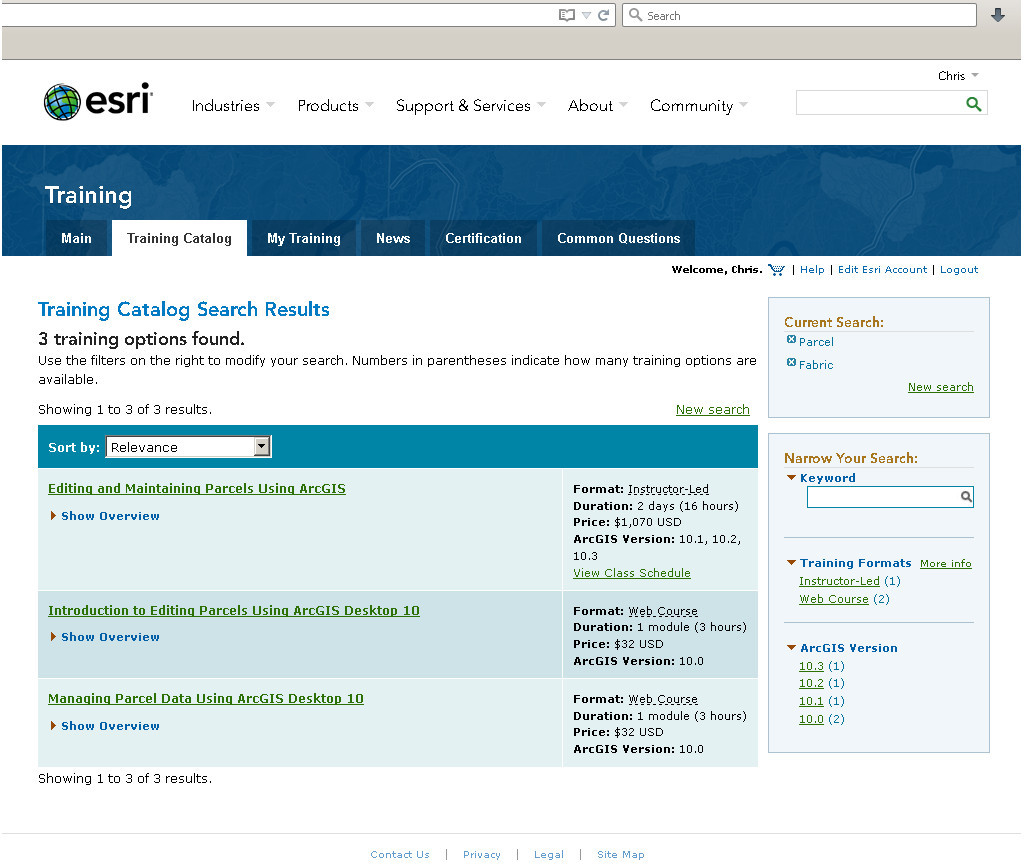
Thanks Samuel. The link didn't go all the way to the specific class, but got me to the Training Catalog. I assume you mean the Instructor-led one (first in the list)?
Chris Donohue, GISP
- Mark as New
- Bookmark
- Subscribe
- Mute
- Subscribe to RSS Feed
- Permalink
- Report Inappropriate Content
Hi Chris,
Sorry about the link. That is happening to me on other posts as well.
The Instructor Led Course is what I was talking about.
-Sam